County

Antrim

Aontroim

Antrim’s landscape connects Belfast Lough and Lough Neagh with the north coast, while deep glens cut through its uplands.

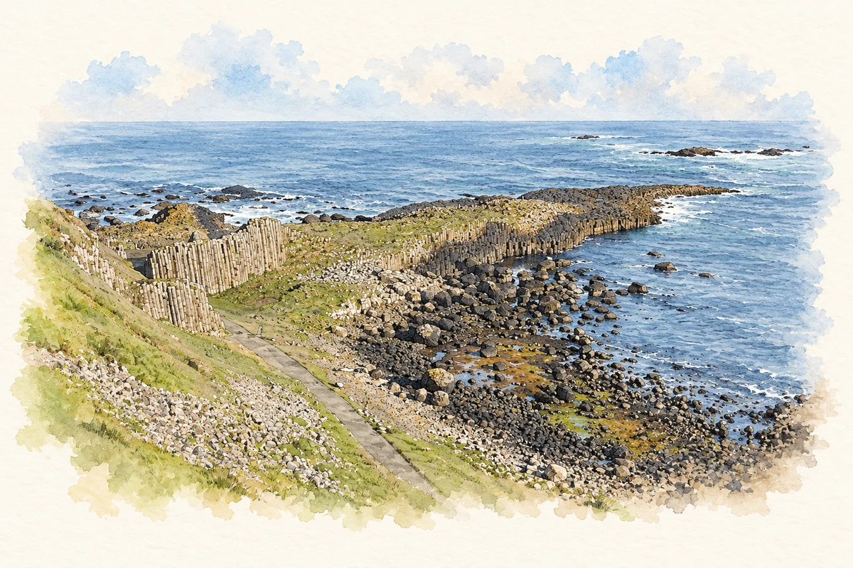
Watercolour and ink landscape of the Giant’s Causeway basalt promontory and rocky coast in County Antrim.
Illustration, Giant’s Causeway, County Antrim
Recorded locationAntrim54.82554° N · 6.14332° WInteractive map supplied by OpenStreetMap.
Approximate recorded location · Logainm.ie

The name

A reliable full-name meaning has not been established here. The recorded Irish and English forms are given without an unsupported translation.

Recorded forms

  • Aontroim · Irish · main form · validated name
  • Antrim · English · main form

Place & story

Water around the county

Antrim stretches between Belfast Lough, Lough Neagh, the Bann and the northern and eastern seas. Lewis’s 1837 county account describes a landscape shaped by lake shores, a river boundary and a long coast. [2]

A glen in detail

At Glenariff, DAERA records streams, waterfalls, cliffs and scree beneath a basalt escarpment. Ash and hazel woodland occupy parts of the protected glen. [3]

Folklore & tradition

The swans on the Sea of Moyle

In P. W. Joyce’s translation of the Children of Lir, the four children spend three hundred years as swans on the Sea of Moyle, between Ireland and Scotland. Their sea exile follows a spell placed upon them by their stepmother. The harsh waters supply the story’s northern setting. This is a literary legend connected with the channel off Antrim, not an account of historical people or an event confined within the county boundary. [4]

Geographic information

Place type
County
County
Antrim
Coordinates
54.82554, -6.14332 (approximate)
Mapped area
3,095.35 km²
Logainm ID
100000 ↗

Population over time

Antrim — historical county, excluding Belfast

Historical census population, 1821–1926

191,643people · 1926

075K150K225K300K 1821: 233,606 people18211831: 272,328 people1841: 285,567 people1851: 273,142 people1861: 256,986 people1871: 245,758 people1881: 237,738 people1891: 215,229 people1901: 196,090 people19011911: 193,864 people1926: 191,643 people1926

Published county totals use the boundaries at each census; administrative changes can affect comparisons. Early figures exclude members of the armed forces. Belfast is excluded; boundary transfers also affected these figures. They do not describe the modern council district.

View population figures
Antrim — historical county, excluding Belfast — census population
Census yearPopulation
1821233,606
1831272,328
1841285,567
1851273,142
1861256,986
1871245,758
1881237,738
1891215,229
1901196,090
1911193,864
1926191,643

Source: NISRA — 1926 census, Antrim report (official data tables). Open Government Licence v3.0. Retrieved 2026-10-25.

People & family history

Census figures refer to the matched historical census area for each year. Boundaries and spellings can change over time.

1926 census

This year is outside the available dataset’s coverage. This does not indicate a population of zero.

Explore this county

Up to 50 places per page, ordered by name.

Sources & further reading

  1. Logainm.ie — Antrim. Place names and geographic record, licensed under CC BY 4.0.
  2. County Antrim — A Topographical Dictionary of Ireland (1837)
  3. Glenariff Area of Special Scientific Interest
  4. P. W. Joyce, Old Celtic Romances: The Fate of the Children of Lir (1920 edition)
  5. Boundary geometry retains its source attribution and licence in the downloadable geographic record. Map tiles © OpenStreetMap contributors.
  6. Giant’s Causeway, County Antrim illustration: based on a Giant's Causeway by Anne Burgess. AI-assisted watercolour and ink adaptation; cream paper margins added; visitors omitted, path and geological details simplified. Licence: CC BY-SA 2.0. Additional reference: Basalt Columns, The Giant's Causeway by David Dixon, CC BY-SA 2.0.

Name record retrieved 2026-10-25 · Source record modified 2021-05-26. How this page was prepared.