These Irish name elements are associated with this record in the Logainm glossary.
An element’s translation is a clue, rather than a complete explanation of the name. Its form and meaning depend on local history and the full Irish name.
Recorded forms
Ard Mhacha· Irish · main form · validated name
Armagh· English · main form
Place & story
A north–south contrast
Lewis places the county’s northern edge on Lough Neagh and describes flatter ground in several northern and central districts. His separate topographical account turns to Slieve Gullion and the Fews in the south, with Camlough among the smaller lakes. This contrast is more useful than treating Armagh as one uniform landscape. The setting of a lakeshore farm and that of a southern upland townland may differ greatly despite sharing the same county address.[2][3]
The orchard association
Armagh City, Banbridge and Craigavon Borough Council identifies orchard heritage as a distinctive part of the area’s history and records Bramley planting at Crannagael in 1884.[4]
An Iron Age ceremonial centre
Navan Fort near Armagh city is the archaeological site associated with the legendary Emain Macha. The council’s interpretation identifies a major ceremonial structure dated to 95 BC within a wider complex of monuments. Its significance is therefore broader than that of a defensive hillfort. The reconstructed settlement and costumed interpretation at the visitor centre are modern ways of explaining Iron Age life; they are not surviving ancient houses. Navan provides a particularly clear setting in which archaeology and the stories of Ulster can be considered alongside each other without treating them as interchangeable evidence.[5]
Folklore & tradition
The race and curse of Macha
The council records the traditional story in which the pregnant Macha is compelled to race the king’s horses after her husband boasts of her speed. She wins, gives birth to twins and lays a curse on Ulster’s men. This is a story associated with Emain Macha and the Ulster Cycle, not a documented race in the county’s history. A separate foundation tradition describes Macha tracing the stronghold’s outline with a brooch.[5][6]
Published county totals use the boundaries at each census; administrative changes can affect comparisons. Early figures exclude members of the armed forces.
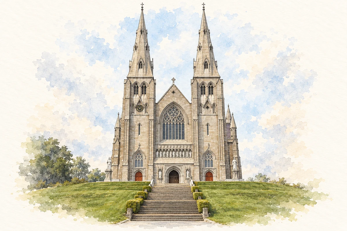
St Patrick’s Roman Catholic Cathedral, Armagh illustration: based on a St. Patrick's Cathedral (Roman Catholic) Armagh by Rod Grealish. AI-assisted watercolour and ink adaptation; cream paper margins added, incidental clutter omitted and fine details simplified. Licence: CC BY-SA 2.0.
 placenames