County

Cork

Corcaigh

Cork’s long maritime edge and older territorial divisions make a precise locality essential to understanding its placenames and family records.

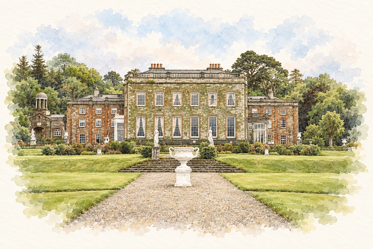
Watercolour and fine ink illustration of Bantry House, County Cork in County Cork.
Illustration, Bantry House, County Cork
Recorded locationCork51.72980° N · 9.15734° WInteractive map supplied by OpenStreetMap.
Recorded place location · Logainm.ie

The name

A reliable full-name meaning has not been established here. The recorded Irish and English forms are given without an unsupported translation.

Recorded forms

  • Corcaigh · Irish · main form · validated name
  • Cork · English · main form

Place & story

A county with a long coast

Cork’s long maritime boundary encloses coastal and inland districts adjoining Waterford, Tipperary, Limerick and Kerry. Lewis’s 1837 county history ranges from the harbour to Carbery, Muskerry, Beara, Bantry and Duhallow. [2]

Older district names

The directory discusses Desmond, Carbery, Muskerry, Beara, Bantry, Duhallow and other territorial names in relation to different parts of the county. These are useful signposts in historical writing, although their exact extent changed with lordships and later administrative divisions. A name surviving in a barony or modern regional description may carry only part of its earlier meaning. Lewis’s elaborate claims about ancient peoples and their origins are not adopted here as established ethnic history or name evidence. [2]

People & connections

Michael Collins at Woodfield

Michael Collins was born at Woodfield, near Sam’s Cross and Clonakilty, in 1890. The birthplace is a National Monument in the care of the Office of Public Works. Discover Ireland distinguishes the original dwelling where he was born from a later family farmhouse, whose footprint remains after its destruction in 1921. That distinction matters when interpreting the site: the surviving and vanished buildings belong to different stages of family life. [3]

The Collins family’s preservation of Woodfield was followed by its gift to the State in 1990. In 2021 the family also donated five work diaries to the National Archives. The announcement connected the papers with the birthplace, bringing a domestic landscape and a documentary archive into the same act of commemoration. [4]

Geographic information

Place type
County
County
Cork
Coordinates
51.72980, -9.15734
Mapped area
7,503.72 km²
Logainm ID
100010 ↗

Population over time

County Cork, including its cities

County population, 1841–2022

584,156people · 2022

0225K450K675K900K 1841: 854,118 people18411851: 649,308 people1861: 544,818 people1871: 517,076 people1881: 495,607 people1891: 438,432 people1901: 404,611 people19011911: 392,104 people1926: 365,747 people1936: 355,957 people1946: 343,668 people1951: 341,284 people19511956: 336,663 people1961: 330,443 people1966: 339,703 people1971: 352,883 people1979: 396,118 people1981: 402,465 people1986: 412,735 people1991: 410,369 people1996: 420,510 people2002: 447,829 people2006: 481,295 people2011: 519,032 people2016: 542,868 people2022: 584,156 people2022

Figures cover the whole county including its cities. CSO recommends this series for long-term comparison, although minor boundary changes have occurred.

View population figures
County Cork, including its cities — census population
Census yearPopulation
1841854,118
1851649,308
1861544,818
1871517,076
1881495,607
1891438,432
1901404,611
1911392,104
1926365,747
1936355,957
1946343,668
1951341,284
1956336,663
1961330,443
1966339,703
1971352,883
1979396,118
1981402,465
1986412,735
1991410,369
1996420,510
2002447,829
2006481,295
2011519,032
2016542,868
2022584,156

Source: CSO F1001 — Population at Each Census. CC BY 4.0. Retrieved 2026-10-25.

People & family history

Census figures refer to the matched historical census area for each year. Boundaries and spellings can change over time.

Explore this county

Up to 50 places per page, ordered by name.

Sources & further reading

  1. Logainm.ie — Cork. Place names and geographic record, licensed under CC BY 4.0.
  2. County Cork — A Topographical Dictionary of Ireland (1837)
  3. Michael Collins Birthplace — Discover Ireland, Fáilte Ireland
  4. Diaries of Michael Collins presented to the State — Department of the Taoiseach
  5. Boundary geometry retains its source attribution and licence in the downloadable geographic record. Map tiles © OpenStreetMap contributors.
  6. Bantry House, County Cork illustration: based on a reference by Jeff Buck. AI-assisted watercolour and ink adaptation; cream paper margins added, incidental clutter omitted and fine details simplified. Licence: CC BY-SA 2.0.

Name record retrieved 2026-10-25 · Source record modified 2026-09-19. How this page was prepared.