County

Donegal

Dún na nGall

Rathmullan's departure point, Ballyshannon's literary life and Tory Island's recorded stories offer three very different ways into the county's past.

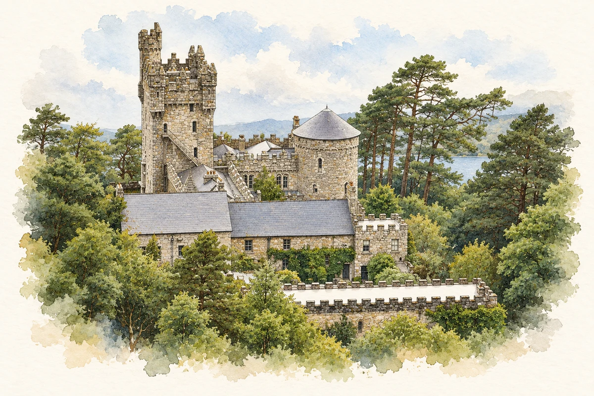
Watercolour and fine ink illustration of Glenveagh Castle, County Donegal in County Donegal.
Illustration, Glenveagh Castle, County Donegal
Recorded locationDonegal54.97201° N · 7.98230° WInteractive map supplied by OpenStreetMap.
Recorded place location · Logainm.ie

The name

These Irish name elements are associated with this record in the Logainm glossary.

An element’s translation is a clue, rather than a complete explanation of the name. Its form and meaning depend on local history and the full Irish name.

Recorded forms

  • Dún na nGall · Irish · main form · validated name
  • Donegal · English · main form

Place & story

The departure from Rathmullan

In 1607 the northern lords associated with the Flight of the Earls departed from the Rathmullan area. Donegal County Council's heritage assessment identifies the sheltered inlet of Portnamurry and describes a party including O'Neill and O'Donnell. Their intended return and longer-term plans remain subjects of interpretation. The departure marked a major transition in Ulster's political order. [2]

People & connections

William Allingham in Ballyshannon

William Allingham was born in Ballyshannon in 1824. The Dictionary of Irish Biography describes his early work in the family bank and later employment as a customs officer, dealing with returns on cargoes, emigrant ships and wrecks. He published poetry while maintaining connections with leading Victorian writers. His celebrated poem The Fairies belongs to literary art, while his diaries and letters preserve another kind of record: the experience of a Donegal writer moving between local employment and a wider literary world. [3]

Folklore & tradition

Balor and the stolen cow

In Ulster Folklore, published in 1913, Elizabeth Andrews records a Tory Island version of the Balor story told to her by an elderly man in a cottage. Balor has his daughter confined because he fears a grandson will kill him. The theft of a mainland smith's remarkable cow brings a young herdsman and fairy assistance into the tale. Andrews noted that her storyteller's version was confused in places. [4]

Geographic information

Place type
County
County
Donegal
Coordinates
54.97201, -7.98230
Mapped area
4,858.56 km²
Logainm ID
100013 ↗

Population over time

County Donegal, including its cities

County population, 1841–2022

167,084people · 2022

075K150K225K300K 1841: 296,448 people18411851: 255,158 people1861: 237,395 people1871: 218,334 people1881: 206,035 people1891: 185,635 people1901: 173,722 people19011911: 168,537 people1926: 152,508 people1936: 142,310 people1946: 136,317 people1951: 131,530 people19511956: 122,059 people1961: 113,842 people1966: 108,549 people1971: 108,344 people1979: 121,941 people1981: 125,112 people1986: 129,664 people1991: 128,117 people1996: 129,994 people2002: 137,575 people2006: 147,264 people2011: 161,137 people2016: 159,192 people2022: 167,084 people2022

Figures cover the whole county including its cities. CSO recommends this series for long-term comparison, although minor boundary changes have occurred.

View population figures
County Donegal, including its cities — census population
Census yearPopulation
1841296,448
1851255,158
1861237,395
1871218,334
1881206,035
1891185,635
1901173,722
1911168,537
1926152,508
1936142,310
1946136,317
1951131,530
1956122,059
1961113,842
1966108,549
1971108,344
1979121,941
1981125,112
1986129,664
1991128,117
1996129,994
2002137,575
2006147,264
2011161,137
2016159,192
2022167,084

Source: CSO F1001 — Population at Each Census. CC BY 4.0. Retrieved 2026-10-25.

People & family history

Census figures refer to the matched historical census area for each year. Boundaries and spellings can change over time.

Explore this county

Up to 50 places per page, ordered by name.

Sources & further reading

  1. Logainm.ie — Donegal. Place names and geographic record, licensed under CC BY 4.0.
  2. Rathmullan Heritage Impact Assessment — Donegal County Council
  3. William Allingham — Dictionaryof Irish Biography
  4. Elizabeth Andrews, Ulster Folklore 1913, Folklorefrom Donegal, pp 73–76
  5. Boundary geometry retains its source attribution and licence in the downloadable geographic record. Map tiles © OpenStreetMap contributors.
  6. Glenveagh Castle, County Donegal illustration: based on a reference by Corinna Schleiffer. AI-assisted watercolour and ink adaptation; cream paper margins added, incidental clutter omitted and fine details simplified. Licence: CC BY-SA 2.0.

Name record retrieved 2026-10-25 · Source record modified 2025-01-10. How this page was prepared.