County

Leitrim

Liatroim

Lough Allen provides a useful reference within a county whose northern and southern landscapes have distinct forms and connections.

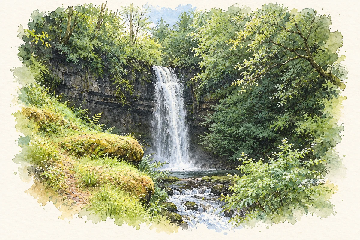
Watercolour and fine ink illustration of Glencar Waterfall, County Leitrim in County Leitrim.
Illustration, Glencar Waterfall, County Leitrim
Recorded locationLeitrim54.15954° N · 8.03556° WInteractive map supplied by OpenStreetMap.
Recorded place location · Logainm.ie

The name

A reliable full-name meaning has not been established here. The recorded Irish and English forms are given without an unsupported translation.

Recorded forms

  • Liatroim · Irish · main form · validated name
  • Leitrim · English · main form

Place & story

Two broad landscape settings

Leitrim County Council contrasts northern table mountains and glacial glens with southern drumlin lowlands. Lough Allen lies between these broad landscapes; the Shannon and woodlands around Lough Rinn add further variety. [4]

Road and river centres

Lewis’s 1837 accounts place Manorhamilton in a cattle-trading district on the Enniskillen–Sligo road. Carrick-on-Shannon combined the Dublin–Sligo road with river navigation. [2] [3]

People & connections

Seán Mac Diarmada’s homeplace

The homeplace of Seán Mac Diarmada, one of the seven signatories of the 1916 Proclamation, survives near Kiltyclogher. The Office of Public Works preserves the traditional cottage as a National Monument. Its domestic scale supplies a different perspective from the public documents and executions usually associated with the Rising: this was a family homestead before it became a commemorative place. [5]

Leitrim’s official tourism account locates the three-roomed thatched cottage in Corranmore, a few kilometres outside the village, with views towards Upper Lough MacNean. A separate exhibition occupies Kiltyclogher’s former courthouse. Mac Diarmada helped plan the Easter Rising and was executed at Kilmainham on 12 May 1916. [6]

Geographic information

Place type
County
County
Leitrim
Coordinates
54.15954, -8.03556
Mapped area
1,588.49 km²
Logainm ID
100018 ↗

Population over time

County Leitrim, including its cities

County population, 1841–2022

35,199people · 2022

050K100K150K200K 1841: 155,297 people18411851: 111,897 people1861: 104,744 people1871: 95,562 people1881: 90,372 people1891: 78,618 people1901: 69,343 people19011911: 63,582 people1926: 55,907 people1936: 50,908 people1946: 44,591 people1951: 41,209 people19511956: 37,056 people1961: 33,470 people1966: 30,572 people1971: 28,360 people1979: 27,844 people1981: 27,609 people1986: 27,035 people1991: 25,301 people1996: 25,057 people2002: 25,799 people2006: 28,950 people2011: 31,798 people2016: 32,044 people2022: 35,199 people2022

Figures cover the whole county including its cities. CSO recommends this series for long-term comparison, although minor boundary changes have occurred.

View population figures
County Leitrim, including its cities — census population
Census yearPopulation
1841155,297
1851111,897
1861104,744
187195,562
188190,372
189178,618
190169,343
191163,582
192655,907
193650,908
194644,591
195141,209
195637,056
196133,470
196630,572
197128,360
197927,844
198127,609
198627,035
199125,301
199625,057
200225,799
200628,950
201131,798
201632,044
202235,199

Source: CSO F1001 — Population at Each Census. CC BY 4.0. Retrieved 2026-10-25.

People & family history

Census figures refer to the matched historical census area for each year. Boundaries and spellings can change over time.

1901 census

69,436People recorded
14,548Households recorded

Most frequent surnames in this year’s matched records

  • McGowan 1349
  • Reynolds 1237
  • Rooney 1122
  • Flynn 1074
  • Kelly 938
Explore the 1901 records ↗

1911 census

63,049People recorded
13,769Households recorded

Most frequent surnames in this year’s matched records

  • McGowan 1292
  • Reynolds 1166
  • Flynn 1075
  • Rooney 1029
  • Kelly 870
Explore the 1911 records ↗

Explore this county

Up to 50 places per page, ordered by name.

Sources & further reading

  1. Logainm.ie — Leitrim. Place names and geographic record, licensed under CC BY 4.0.
  2. Manor-Hamilton — A Topographical Dictionary of Ireland (1837)
  3. Carrick-on-Shannon — A Topographical Dictionary of Ireland (1837)
  4. About Natural Heritage in Leitrim
  5. Seán Mac Diarmada Cottage — Heritage Ireland, Office of Public Works
  6. The Seán MacDiarmada Homestead — Leitrim Tourism
  7. Boundary geometry retains its source attribution and licence in the downloadable geographic record. Map tiles © OpenStreetMap contributors.
  8. Glencar Waterfall, County Leitrim illustration: based on a reference by Bob Embleton. AI-assisted watercolour and ink adaptation; cream paper margins added, incidental clutter omitted and fine details simplified. Licence: CC BY-SA 2.0.

Name record retrieved 2026-10-25 · Source record modified 2025-01-10. How this page was prepared.