These Irish name elements are associated with this record in the Logainm glossary.
An element’s translation is a clue, rather than a complete explanation of the name. Its form and meaning depend on local history and the full Irish name.
Recorded forms
Uíbh Fhailí· Irish · main form · validated name
Offaly· English · main form
Place & story
The King’s County landscape
The county appears as King’s County in Lewis’s 1837 directory, with the Shannon marking part of its western side. Waterways linked settlements to markets far beyond the county: the Grand Canal helped Tullamore develop as a commercial centre, while Birr also appears in older records as Parsonstown. These historical names belong to the county’s changing political and civic life.[2][3]
Clonmacnoise beside the Shannon
Ciarán founded Clonmacnoise in the sixth century. Its surviving ensemble includes a cathedral, round towers, high crosses, churches and hundreds of early Christian grave slabs. The original Cross of the Scriptures, dated to the tenth century, is housed in the visitor centre. The concentration of monuments reflects the monastery’s long importance as a centre of learning and religious patronage beside the river.[5]
Folklore & tradition
Ciarán and the Dun Cow
The medieval lives of Ciarán, translated and studied by R. A. Stewart Macalister in 1921, tell of a cow following him to school at Clonard. Her milk miraculously feeds the community. The story later connects her hide with a treasured relic at Clonmacnoise and with protection for the dying. This saint’s-life tradition travels between two named monasteries; its Clonmacnoise association concerns the hide and the memory of the founder.[6]
People & connections
Mary Rosse’s camera at Birr
At Birr Castle, William Parsons’s great telescope made the estate an international centre of astronomy. Its six-foot mirror was made through work in the castle workshops. Mary, Countess of Rosse, added a different technical skill: she adopted photography in 1854 and took images of the telescope. The Royal Society attributes photographs accompanying her husband’s 1861 scientific paper to her. The surviving darkroom and archival photographs place her directly within Birr’s history of scientific image-making.[7][8]
Figures cover the whole county including its cities. CSO recommends this series for long-term comparison, although minor boundary changes have occurred.
View population figures
County Offaly, including its cities — census population
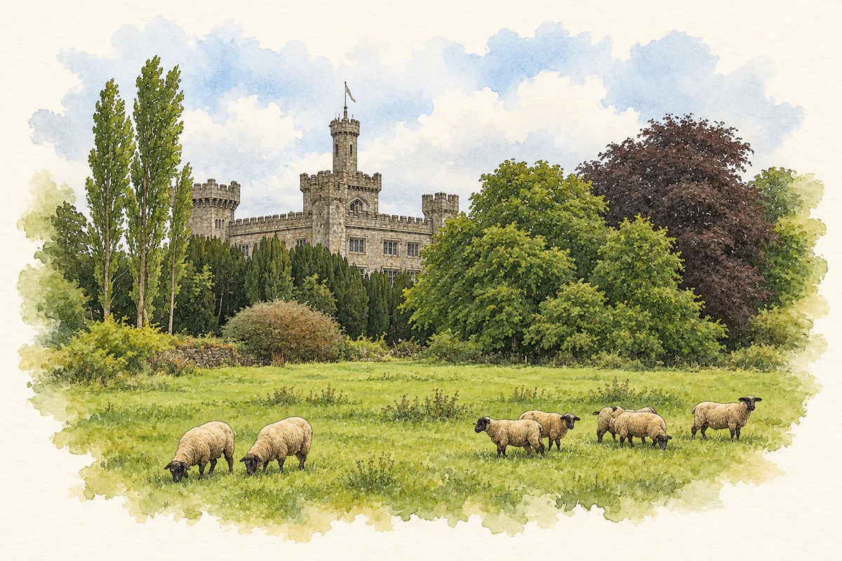
Charleville Castle and parkland, County Offaly illustration: based on a Charleville Castle, Tullamore by Mike Searle. AI-assisted watercolour and ink adaptation; cream paper margins added, incidental clutter omitted and fine details simplified. Licence: CC BY-SA 2.0.
 placenames