These Irish name elements are associated with this record in the Logainm glossary.
An element’s translation is a clue, rather than a complete explanation of the name. Its form and meaning depend on local history and the full Irish name.
Recorded forms
Ros Comáin· Irish · main form · validated name
Roscommon· English · main form
Place & story
Boyle and its lake connection
The Boyle entry places the town on the river flowing between Lough Gara and Lough Key and describes development on both steep banks. Its abbey belonged to a wider Cistercian network and later became part of a different property history. This example brings water, road, church and estate together in one locality. The wider county cannot be reduced to the town of Roscommon, which had its own separate castle, religious and administrative story.[3]
Folklore & tradition
The cave in the Rathcroghan stories
At Rathcroghan near Tulsk, Oweynagat is a real limestone cave with a constructed entrance passage. Medieval stories associate this landscape with Queen Medb, the Mórrígan and encounters with the Otherworld. Heritage Ireland's account places supernatural creatures and seasonal danger within that literary tradition. The cave's geology and early-medieval entrance can be studied as physical features; the monsters belong to the stories told about the place. This distinction allows Rathcroghan's archaeological and legendary importance to be appreciated together without presenting myth as a report of events.[5]
People & connections
Douglas Hyde learns from his neighbours
Douglas Hyde was born in Castlerea in 1860 and grew up at Frenchpark after his father became rector of Tibohine in 1866. There he learned Irish through conversation with local people, recording words and expressions before collecting songs and stories. His close relationship with the gamekeeper Séamus Hart was especially important. Hyde later co-founded the Gaelic League and became Ireland's first president. His county connection therefore includes the everyday linguistic knowledge of neighbours, not only a presidential birthplace or a memorial.[6]
From local speech to a national project
Hyde's biography describes a district where older people still spoke Irish although it was no longer the predominant language. His collecting grew from that particular setting. His father's old church became a museum in his honour, and he was buried at Frenchpark in 1949. These sites give his intellectual life a continuing local presence.[6]
Figures cover the whole county including its cities. CSO recommends this series for long-term comparison, although minor boundary changes have occurred.
View population figures
County Roscommon, including its cities — census population
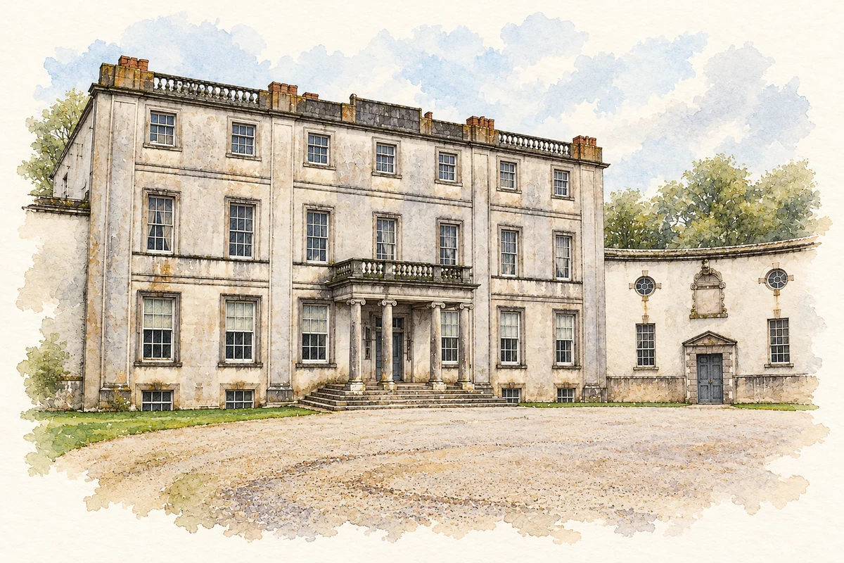
Strokestown Park House, County Roscommon illustration: based on a Strokestown - Park House - Distant courtyard view by Joseph Mischyshyn. AI-assisted watercolour and ink adaptation; cream paper margins added, incidental clutter omitted and fine details simplified. Licence: CC BY-SA 2.0.
 placenames