County

Sligo

Sligeach

Sligo’s county name encompasses a port town, rural parishes and inland centres with different routes and institutional histories.

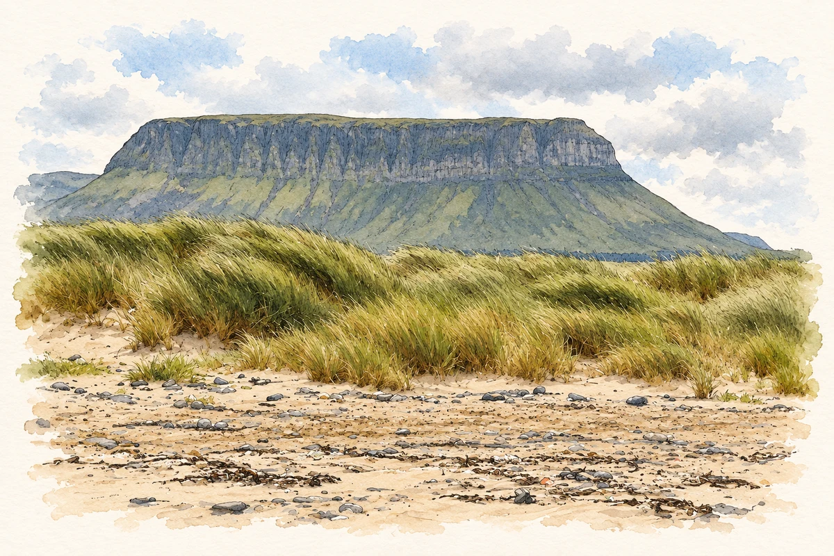
Watercolour and fine ink illustration of Benbulben from Streedagh Point, County Sligo in County Sligo.
Illustration, Benbulben from Streedagh Point, County Sligo
Recorded locationSligo54.21199° N · 8.60882° WInteractive map supplied by OpenStreetMap.
Recorded place location · Logainm.ie

The name

A reliable full-name meaning has not been established here. The recorded Irish and English forms are given without an unsupported translation.

Recorded forms

  • Sligeach · Irish · main form · validated name
  • Sligo · English · main form

Place & story

The town and its river

The Sligo town account links Lough Gill with the bay through the Garavogue and places the town near the narrow seaward part of that river. Port, market and county functions were concentrated at that useful position. [3]

A landscape of Neolithic tombs

Carrowmore preserves more than thirty surviving monuments dating back almost six thousand years. The cemetery belongs to a wider passage-tomb landscape, extending the county's historical portrait far beyond its later market towns and lordships. The monuments stand in relation to the surrounding terrain, with Knocknarea forming a conspicuous backdrop. The site is on Ireland's tentative list for World Heritage status, which is distinct from an inscription on the World Heritage List. [5]

People & connections

Yeats and particular places

W. B. Yeats's association with Sligo is expressed through several specific sites. He and his wife George are buried at Drumcliffe; the Lake Isle of Innisfree and Lissadell belong to the landscape presented by the Yeats Society's local guide. These connections have helped shape how readers and visitors encounter the county. Geography remains important within that literary landscape: Glencar Waterfall, often included in Yeats-related journeys, is across the border in County Leitrim. The artistic association reaches beyond county boundaries. [6]

Geographic information

Place type
County
County
Sligo
Coordinates
54.21199, -8.60882
Mapped area
1,836.17 km²
Logainm ID
100028 ↗

Population over time

County Sligo, including its cities

County population, 1841–2022

70,198people · 2022

050K100K150K200K 1841: 180,886 people18411851: 128,515 people1861: 124,845 people1871: 115,493 people1881: 111,578 people1891: 98,013 people1901: 84,083 people19011911: 79,045 people1926: 71,388 people1936: 67,447 people1946: 62,375 people1951: 60,513 people19511956: 56,850 people1961: 53,561 people1966: 51,263 people1971: 50,275 people1979: 54,610 people1981: 55,474 people1986: 56,046 people1991: 54,756 people1996: 55,821 people2002: 58,200 people2006: 60,894 people2011: 65,393 people2016: 65,535 people2022: 70,198 people2022

Figures cover the whole county including its cities. CSO recommends this series for long-term comparison, although minor boundary changes have occurred.

View population figures
County Sligo, including its cities — census population
Census yearPopulation
1841180,886
1851128,515
1861124,845
1871115,493
1881111,578
189198,013
190184,083
191179,045
192671,388
193667,447
194662,375
195160,513
195656,850
196153,561
196651,263
197150,275
197954,610
198155,474
198656,046
199154,756
199655,821
200258,200
200660,894
201165,393
201665,535
202270,198

Source: CSO F1001 — Population at Each Census. CC BY 4.0. Retrieved 2026-10-25.

People & family history

Census figures refer to the matched historical census area for each year. Boundaries and spellings can change over time.

Explore this county

Up to 50 places per page, ordered by name.

Sources & further reading

  1. Logainm.ie — Sligo. Place names and geographic record, licensed under CC BY 4.0.
  2. County Sligo — A Topographical Dictionary of Ireland (1837) · Samuel Lewis · 1837
  3. Sligo town — A Topographical Dictionary of Ireland (1837) · Samuel Lewis · 1837
  4. Ballymote — A Topographical Dictionary of Ireland (1837) · Samuel Lewis · 1837
  5. Carrowmore Megalithic Cemetery · Office of Public Works
  6. Yeats in Sligo · Yeats Society Sligo
  7. Boundary geometry retains its source attribution and licence in the downloadable geographic record. Map tiles © OpenStreetMap contributors.
  8. Benbulben from Streedagh Point, County Sligo illustration: based on a Benbulbin from Streedagh Point by Joseph Mischyshyn. AI-assisted watercolour and ink adaptation; cream paper margins added, incidental clutter omitted and fine details simplified. Licence: CC BY-SA 2.0.

Name record retrieved 2026-10-25 · Source record modified 2025-01-10. How this page was prepared.