These Irish name elements are associated with this record in the Logainm glossary.
An element’s translation is a clue, rather than a complete explanation of the name. Its form and meaning depend on local history and the full Irish name.
Recorded forms
Droichead na Bríde· Irish · main form · non-validated name
Bridebridge· English · main form
Place & story
Five arches over the Bride
Bride Bridge crosses the River Bride on five limestone arches. The National Inventory of Architectural Heritage dates it to about 1790 and records evidence of widening towards the west. Cutwaters divide the flow around the piers, while dressed stone defines the round arches. Its hump-backed profile and rubble-stone parapets give the crossing a character distinct from later concrete bridges. The record identifies it in Ballyarra, beside the village that takes its name from the crossing.[2]
Saint Nicholas’s successive roofs and buildings
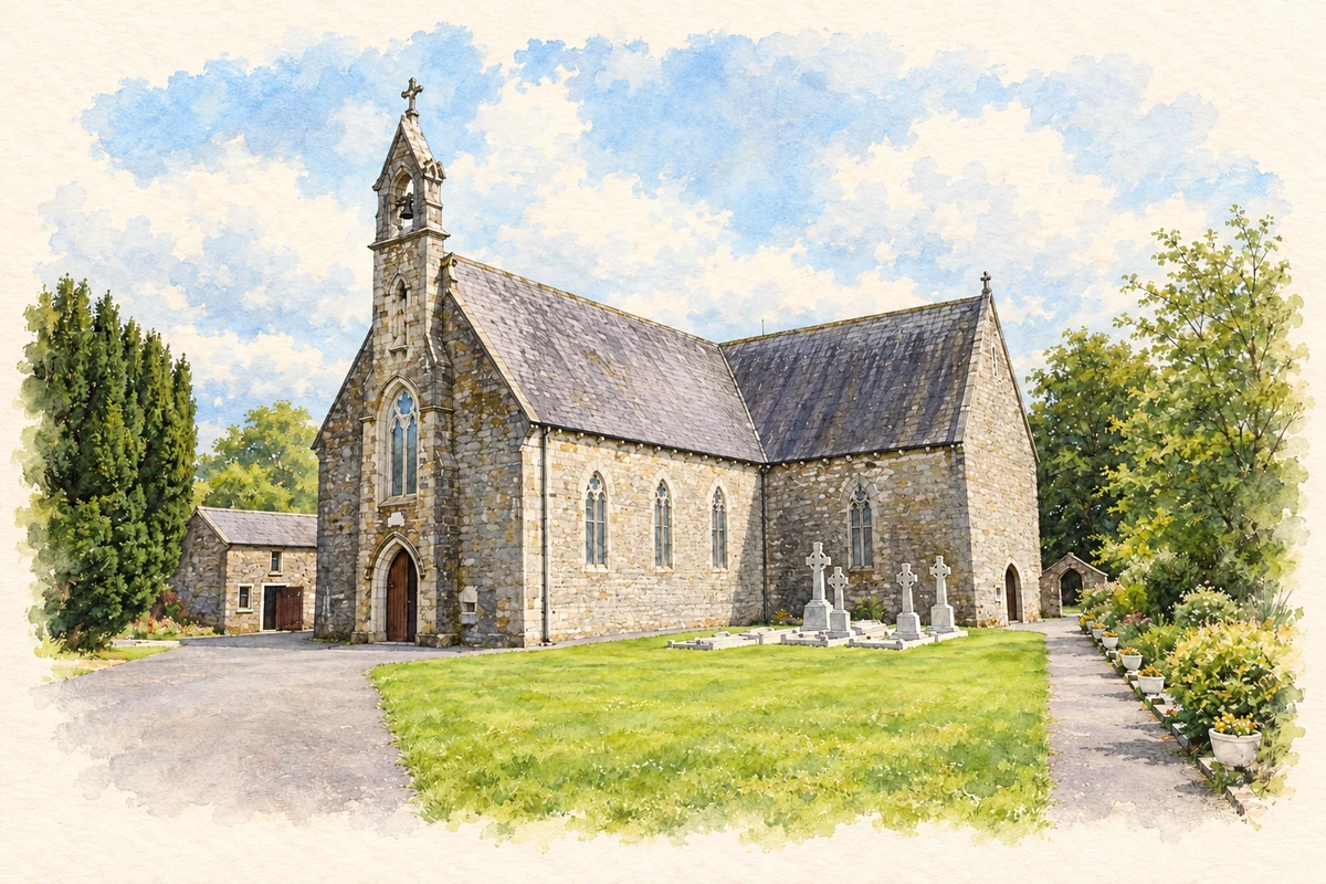
Saint Nicholas’s Catholic church was built in 1845, replacing a thatched church of 1774, according to the Saint Nicholas Center’s illustrated record. The present building received a Gothic roof and belfry in the 1870s. These stages distinguish the establishment of the church from later architectural additions. Its churchyard contains the grave of Canon O’Leary, linking the parish’s place of worship with one of the Irish-language revival’s best-known writers.[3]
People & connections
The grave of an tAthair Peadar
Peadar Ó Laoghaire served as Castlelyons parish priest from 1891 until 1920 and was buried at Saint Nicholas’s after his death on 21 March 1920. The parish history records that his burial took place three days later following Mass, attended by parishioners, clergy, scholar Osborne Bergin and MP David Kent. The grave marks a precise local association with the writer, rather than a claim that Bridebridge was his birthplace.[4]
Both counts use the 2016 settlement boundary, allowing like-for-like comparison. CSO supplies the 2022 count on this older boundary for comparison only. The official 2022 Built Up Area has different boundaries.
View population figures
Bridebridge — Census 2016 settlement footprint — census population
These are the historical areas published in the 2006 census report. Boundaries may differ between censuses and from modern settlements. Legal towns, environs and suburbs are shown separately; none has been combined into a modern settlement total.
View population figures
Bridebridge, Cork — Census town, CSO 2006 report — census population
These are the historical areas published in the 1996 census report. Boundaries may differ between censuses and from modern settlements. Legal towns, environs and suburbs are shown separately; none has been combined into a modern settlement total.
View population figures
Bridebridge, Cork — Census town, CSO 1996 report — census population
Figures cover the historical town area printed in the 1986 report. Boundaries may have changed between censuses. Legal town, environs and suburb totals remain separate and differ from modern settlement boundaries.
View population figures
Bridebridge, Cork — Census town, CSO 1986 report — census population
These figures use different area definitions. Read the boundary note before comparing them.
Bridebridge, Cork
Published census settlement populations
187people · 2016
Settlement boundaries changed during this period. Differences may reflect boundary changes as well as population change. Where a 2011 legal-town-and-environs count is shown, it has not been recalculated onto the 2016 settlement boundary.
 placenames