These Irish name elements are associated with this record in the Logainm glossary.
An element’s translation is a clue, rather than a complete explanation of the name. Its form and meaning depend on local history and the full Irish name.
Recorded forms
Mainistir Fhear Maí· Irish · main form · validated name
Fermoy· English · main form
Place & story
Anderson's rebuilding
Lewis describes Fermoy on both banks of the Blackwater, on the Cork–Dublin mail-coach road. His account credits John Anderson, who purchased much of the manor in 1791, with constructing a hotel and houses and initiating the town's expansion. The resulting streets included a spacious square and shorter connecting streets. The river crossing gave this planned development a location of wider importance.[2]
A military centre
The directory explains how Anderson offered land for a military station in 1797. Temporary accommodation was followed by substantial east and west barracks during the next decade. Their scale made the garrison a major presence within the town.[2]
Christ Church on the hill
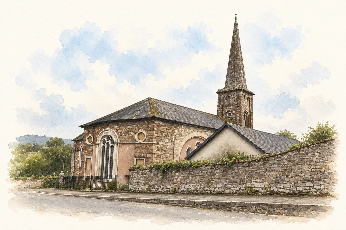
The National Inventory of Architectural Heritage identifies Christ Church as an important feature above Fermoy Bridge. Its design is attributed to Abraham Hargrave the Elder and was intended to accommodate townspeople and soldiers. The unusually tall entrance allowed military colours to pass without being lowered. Sandstone walls, limestone dressings and varied round-headed windows give the building its distinctive character.[3]
People & connections
John Anderson’s roads and an unfinished fortune
John Anderson, the Scottish entrepreneur behind much of Fermoy’s expansion, had first established himself as a Cork merchant. University of Galway’s Landed Estates account connects his property purchases with his involvement in the Dublin–Cork mail-coach roads. His plans brought commerce, transport and military accommodation together. The enterprise also had a precarious financial side: Anderson eventually became bankrupt and died in 1820.[4]
The National Monuments Service’s urban archaeology survey describes the garrison that began arriving in 1797 and remained a major presence until the British evacuation in 1922. Its account places flour mills, paper mills and a brewery alongside corn and butter trading. Fermoy’s development depended on several industries and institutions, even though Anderson’s planning gave the town a particularly influential starting point.[5]
Both counts use the 2016 settlement boundary, allowing like-for-like comparison. CSO supplies the 2022 count on this older boundary for comparison only. The official 2022 Built Up Area has different boundaries.
View population figures
Fermoy — Census 2016 settlement footprint — census population
These figures use different area definitions. Read the boundary note before comparing them.
Fermoy, Cork — 2011 legal town and environs; 2016 census settlement
Published census settlement populations
6,585people · 2016
Settlement boundaries changed during this period. Differences may reflect boundary changes as well as population change. Where a 2011 legal-town-and-environs count is shown, it has not been recalculated onto the 2016 settlement boundary.
View population figures
Fermoy, Cork — 2011 legal town and environs; 2016 census settlement — census population
Christ Church, Fermoy illustration: based on a reference by Jonathan Thacker. AI watercolour and ink adaptation; clutter removed, margins added and fine details simplified. Licence: CC BY-SA 2.0.
 placenames