 placenames
Kentstown
Baile an Cheantaigh
An eighteenth-century house, reused working buildings and archaeological monitoring document different periods at Ballymagarvey.
The name
These Irish name elements are associated with this record in the Logainm glossary.
An element’s translation is a clue, rather than a complete explanation of the name. Its form and meaning depend on local history and the full Irish name.
Recorded forms
- Baile an Cheantaigh · Irish · main form
- Kentstown · English · main form
Place & story
The house within the estate
Ballymagarvey lies within Kentstown’s electoral division. Eunan McLoughlin Architects identifies its principal house as an eighteenth-century, two-storey building with five bays, protected for its architectural interest. The practice’s project account describes the house and existing stone courtyard as the setting for an events and wedding venue. Its listed proposals for additional accommodation were still at planning stage in that account. [2]
Working buildings find new uses
The estate’s own history dates its renovation project to 2003. It describes the former schoolhouse and courtyard cottages being used for guest accommodation, with a mill loft serving wedding ceremonies. These conversions gave working and educational buildings new purposes while retaining their relationship to the house and courtyard. [3]
What the drainage trench revealed
Niall Colfer monitored drainage works near Ballymagarvey church and graveyard in 2016. A ditch approximately 395 metres long crossed the fields north of the house. No remains contemporary with the medieval church appeared in that trench; demolition material and a wall footing were considered post-medieval. This was evidence from a particular strip of ground, not proof that the wider estate lacked medieval occupation. [4]
Geographic information
Sources & further reading
- Logainm.ie — Kentstown. Place names and geographic record, licensed under CC BY 4.0.
- Ballymagarvey Village, Co. Meath: architectural project account · Eunan McLoughlin Architects
- Our Story: estate renovations and reused buildings · Ballymagarvey Village
- Ballymagarvey, Excavations2016:640,16E0582 · Niall Colfer, Archaeology and Built Heritage
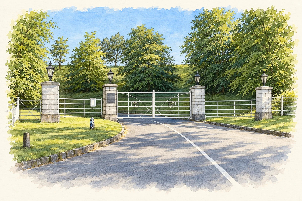
- The entrance gateway to Ballymagarvey estate near Kentstown, County Meath, as photographed in May 2025 illustration: based on a Gateway entrance to Ballymagarvey Village by Eirian Evans. AI-assisted watercolour and ink adaptation; cream paper margins added, incidental clutter omitted and fine details simplified. Licence: CC BY-SA 2.0.
Name record retrieved 2026-10-25 · Source record modified 2011-01-20. How this page was prepared.