Townland

Kilcolman

Cill Cholmáin

Kilcolman is a townland in Cork. Explore its recorded names and geographic context.
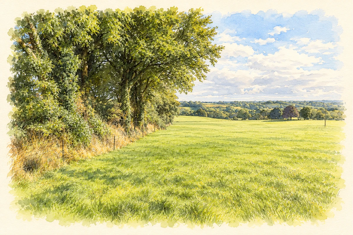
Watercolour and fine ink landscape of a green field edged by mature trees and hedges, with low rolling farmland beyond.
Illustration, farmland beside the lane to Kilcolman near Model Village, County Cork, as photographed in September 2016
Recorded locationKilcolman51.93538° N · 8.76306° WInteractive map supplied by OpenStreetMap.
Recorded place location · Logainm.ie

The name

These Irish name elements are associated with this record in the Logainm glossary.

An element’s translation is a clue, rather than a complete explanation of the name. Its form and meaning depend on local history and the full Irish name.

Recorded forms

  • Cill Cholmáin · Irish · main form · validated name
  • Kilcolman · English · main form

Geographic information

Place type
Townland
County
Cork
Civil parish
Magourney
Within
Magourney
Coordinates
51.93538, -8.76306
Mapped area
0.37 km²
Logainm ID
11526 ↗

People & family history

Census figures refer to the matched historical census area for each year. Boundaries and spellings can change over time.

Sources & further reading

  1. Logainm.ie — Kilcolman. Place names and geographic record, licensed under CC BY 4.0.
  2. Boundary geometry retains its source attribution and licence in the downloadable geographic record. Map tiles © OpenStreetMap contributors.
  3. Farmland beside the lane to Kilcolman, County Cork illustration: based on a Field south of lane to Kilcolman by David P Howard. AI-assisted watercolour and ink adaptation; cream paper margins added, incidental clutter omitted and fine details simplified. Licence: CC BY-SA 2.0.

Name record retrieved 2026-10-25 · Source record modified 2025-01-10. How this page was prepared.