 placenames
Ardfield
Ard Ó bhFicheallaigh
Ardfield’s history combines a nineteenth-century village church with the farming and maritime life of the surrounding West Cork coast.
The name
These Irish name elements are associated with this record in the Logainm glossary.
An element’s translation is a clue, rather than a complete explanation of the name. Its form and meaning depend on local history and the full Irish name.
Recorded forms
- Ard Ó bhFicheallaigh · Irish · main form · validated name
- Ardfield · English · main form
Place & story
Saint James’ Church at Carhoo
Saint James’ Catholic Church, north of Ardfield at Carhoo, is dated 1832. Its T-shaped plan brings the nave and transepts beneath an exposed timber roof, while a small limestone bellcote marks the exterior. The interior includes a timber gallery and a marble altar with contrasting grey panels and red columns, backed by decorative plasterwork. A mosaic dedication plaque records the building date. The church’s comparatively plain exterior encloses a more elaborate collection of fittings. [2]
Farming and coastal service in 1837
Samuel Lewis described the wider Ardfield parish in 1837 as a cultivated coastal district where poor families had enclosed and farmed about eight hundred acres of commons. With no local bog, residents brought turf from Clonakilty. He also recorded abandoned attempts to extract copper at Duneen. At Dunny Cove, a coastguard detachment watched the shore, and its commanding officer lived in a former wartime signal tower near the ruined old church. Agriculture, fuel supply and maritime surveillance all shaped this coastal economy. [3]
Nearby Galley Head’s powerful gas light
Southwest of Ardfield, Galley Head Lighthouse first shone on 1 January 1878. John Swan Sloane designed a station that included a tower, keepers’ accommodation and its own gas works. The original light used gas made from cannel coal and four tiers of optics, with extra tiers lit as weather worsened. Irish Lights records a change to paraffin illumination in 1907, followed by electricity in 1969 and automatic operation in 1978–79. The buildings preserve the scale of an unusually ambitious lighting installation. [4]
Geographic information
Sources & further reading
- Logainm.ie — Ardfield. Place names and geographic record, licensed under CC BY 4.0.
- St James’ Roman Catholic Church, Carhoo, inventory 20914413 · National Inventory of Architectural Heritage
- Ardfield parish, Ibane and Barryroe, County Cork · Samuel Lewis, A Topographical Dictionary of Ireland, 1837
- Galley Head Lighthouse: history · Commissioners of Irish Lights
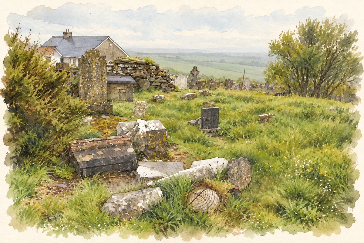
- Old cemetery and medieval church site, Ardfield, County Cork illustration: based on a Ardfield cemetery by Gordon Hatton. AI-assisted watercolour and ink adaptation; cream paper margins added, incidental clutter omitted and fine details simplified. Licence: CC BY-SA 2.0.
Name record retrieved 2026-10-25 · Source record modified 2025-01-10. How this page was prepared.