 placenames
Adamstown
Baile Adaim
The Dublin settlement took shape through a deliberately phased building programme, with its railway station among the early pieces of infrastructure.
The name
These Irish name elements are associated with this record in the Logainm glossary.
An element’s translation is a clue, rather than a complete explanation of the name. Its form and meaning depend on local history and the full Irish name.
Recorded forms
- Baile Adaim · Irish · main form · validated name
- Adamstown · English · main form
Place & story
The tower house that disappeared
Before the modern development, Adamstown had a three-storey tower house with an oblong plan, a projecting turret and stepped battlements. The National Monuments Service record places it between the Grand Canal and the railway, in Adamstown townland in Newcastle barony. It was demolished in the 1960s, and the archaeological record reports no remains visible at ground level. The castle therefore belongs to the area’s lost landscape rather than to a surviving monument that visitors can inspect. [2]
First residents in 2006
Adamstown’s first residents arrived in 2006, three years after approval of its planning scheme and two years after construction began. South Dublin County Council’s report for that year counted almost 300 completed homes. The scheme organised development into thirteen phases, linking housing to transport, schools and other infrastructure. This approach makes the settlement’s early history unusually legible: the new neighbourhood was intended to grow through a sequence of services and buildings, rather than through housing construction alone. [3]
A station ahead of much of the housing
The railway station’s official opening on 16 April 2007 was an early milestone. RTÉ’s contemporary report described a station entirely funded by the developers, with the existing homes then some distance away. It gave the new community a connection towards Dublin’s Heuston station while much of the planned settlement remained to be built. The report captured residents welcoming the new travel option, alongside the practical problem of reaching a station still surrounded by development land. [4]
Schools and streets planned together
A 2006 amendment moved the proposed school buildings closer to more accessible streets. The council linked this change to walking, cycling and the integration of the schools with the neighbourhood around them. Construction of the first school was launched that November. These decisions show how the plan treated the routes between homes and everyday services as part of the town’s construction, alongside the individual buildings. [3]
Geographic information
Sources & further reading
- Logainm.ie — Adamstown. Place names and geographic record, licensed under CC BY 4.0.
- Adamstown Castle: National Monuments Service record DU 017-029---- · Geraldine Stout, National Monuments Service; reproduced by GoHistoric
- Adamstown Annual Report 2006 · South Dublin County Council
- Adamstown Train Station Opens, broadcast 16 April 2007 · Jonathan Clynch, RTÉ
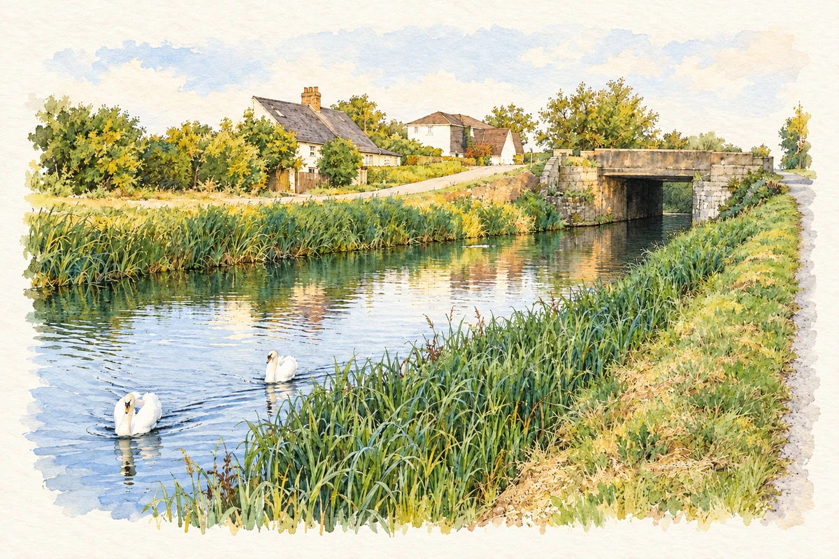
- Grand Canal and Lucan Road bridge, Adamstown, County Dublin illustration: based on a Grand Canal at Adamstown, Co. Dublin by JP. AI-assisted watercolour and ink adaptation; cream paper margins added, incidental clutter omitted and fine details simplified. Licence: CC BY-SA 2.0.
Name record retrieved 2026-10-25 · Source record modified 2021-02-17. How this page was prepared.