A reliable full-name meaning has not been established here. The recorded Irish and English forms are given without an unsupported translation.
Recorded forms
An Caladh· Irish · main form · validated name
Portmagee· English · main form
Place & story
A coastal service centre
Lewis’s 1837 account of Killemlagh parish records a coastguard station at Portmagee and petty sessions held every three weeks. The village also had a Catholic chapel. In the surrounding parish, fishing and gathering seaweed for manure were important occupations. These details place Portmagee within a working coastal economy and show its administrative and religious role before the later road bridge and growth of visitor traffic.[2]
People & connections
Captain Magee in village memory
Local interpretation associates the village’s English name with Captain Theobald Magee, remembered as an eighteenth-century smuggler. Discover Iveragh records that interpretation panels in the village parks tell his story alongside that of local seine boats. The association is part of Portmagee’s public heritage presentation. The detailed adventures sometimes attached to Magee’s life require more evidence than the naming tradition alone provides.[3]
An unfinished bridge and a protest
The permanent link to Valentia Island was still unfinished in May 1970, when an RTÉ news report recorded islanders protesting over the delay. Heavy vehicles could use the crossing, but ordinary residents were excluded. Officials cited the cement strike and work required on the island-side buttress. Marchers travelled from Knightstown towards Portmagee and attempted to cross. The footage captures the public pressure surrounding a project that would change everyday access between island and mainland.[4]
Folklore & tradition
The Old Year
Portmagee marks New Year with a procession in which an old man personifies the departing year. A ceremonial shot signals his passing, followed by the appearance of a newly dressed figure representing the year ahead. Radio Kerry reported the custom continuing in the rain at the start of 2025. Local tradition traces its origin to a visiting French ship’s crew in 1727; that account explains the ceremony’s remembered beginnings rather than independently establishing an unbroken chronology.[5]
Both counts use the 2016 settlement boundary, allowing like-for-like comparison. CSO supplies the 2022 count on this older boundary for comparison only. The official 2022 Built Up Area has different boundaries.
View population figures
Portmagee — Census 2016 settlement footprint — census population
These figures use different area definitions. Read the boundary note before comparing them.
Portmagee, Kerry
Published census settlement populations
123people · 2016
Settlement boundaries changed during this period. Differences may reflect boundary changes as well as population change. Where a 2011 legal-town-and-environs count is shown, it has not been recalculated onto the 2016 settlement boundary.
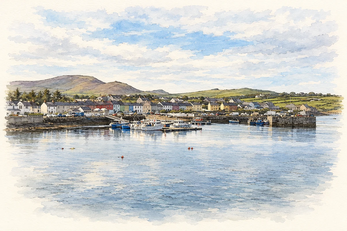
Portmagee harbour and waterfront, County Kerry illustration: based on a Portmagee seen from the bridge (11 October 2021) by Hansjoerg Lipp. AI-assisted watercolour and ink adaptation; cream paper margins added, incidental clutter omitted and fine details simplified. Licence: CC BY-SA 2.0.
 placenames