 placenames
Kealkill
An Chaolchoill
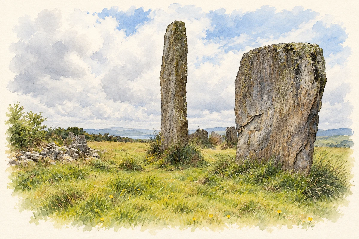
A stone circle, cairn and standing-stone pair share a hillside setting above Kealkill.
The name
A reliable full-name meaning has not been established here. The recorded Irish and English forms are given without an unsupported translation.
Recorded forms
- An Chaolchoill · Irish · main form · validated name
- Kealkill · English · main form
Place & story
Three monuments together
The Kealkill site in the Maughnaclea Hills combines a five-stone circle, a radial-stone cairn and a pair of standing stones. Its position overlooks Kealkill village and the Ouvane valley, with Bantry Bay and the Caha Mountains visible farther away. The monuments bring several distinct prehistoric forms together on the same ledge. [2]
The 1938 excavation
Seán P. Ó Ríordáin directed an excavation here in 1938. Although stone circles and cairns are often interpreted as ritual or burial monuments, this excavation found no evidence of burial. The local heritage account also cautions that proposed astronomical alignments remain uncertain; the original purposes of the structures cannot be stated confidently. [2]
Geographic information
- Place type
- Population centre
- County
- Cork
- Barony
- Bantry
- Civil parish
- Kilmocomoge
- Coordinates
- 51.75742, -9.37601 (approximate)
- Logainm ID
- 1165629 ↗
Sources & further reading
- Logainm.ie — Kealkill. Place names and geographic record, licensed under CC BY 4.0.
- Kealkill Stone Circle · The Sheep’s Head Way
- Standing stones beside Kealkill stone circle, as photographed in 2009 illustration: based on a Kealkill Stone Circle by Mike Searle. AI-assisted watercolour and ink adaptation; cream paper margins added, incidental clutter omitted and fine details simplified. Licence: CC BY-SA 2.0.
Name record retrieved 2026-10-25 · Source record modified 2025-01-10. How this page was prepared.