 placenames
Carrigrohane
Carraig Ruacháin
Carrigrohane's elevated castle and church overlook a river landscape altered by nineteenth-century roads, bridges and building campaigns.
The name
These Irish name elements are associated with this record in the Logainm glossary.
An element’s translation is a clue, rather than a complete explanation of the name. Its form and meaning depend on local history and the full Irish name.
Recorded forms
- Carraig Ruacháin · Irish · main form · validated name
- Carrigrohane · English · main form
Place & story
Two different castle histories
Archaeological testing beside Carrigrohane Castle in 2002 distinguished the remains of a medieval castle from the later fortified house built nearby. Florence Hurley's report suggests an early-thirteenth-century origin for the medieval stronghold, while stressing how little of its history is securely known. Much of the surviving residential building belongs to nineteenth-century restoration. The heritage inventory describes that house as incorporating older fabric and notes its battlements, dormers and corner turrets. The dramatic appearance therefore combines several periods rather than presenting an untouched medieval castle. [2] [3]
Saint Peter’s and Joseph Welland
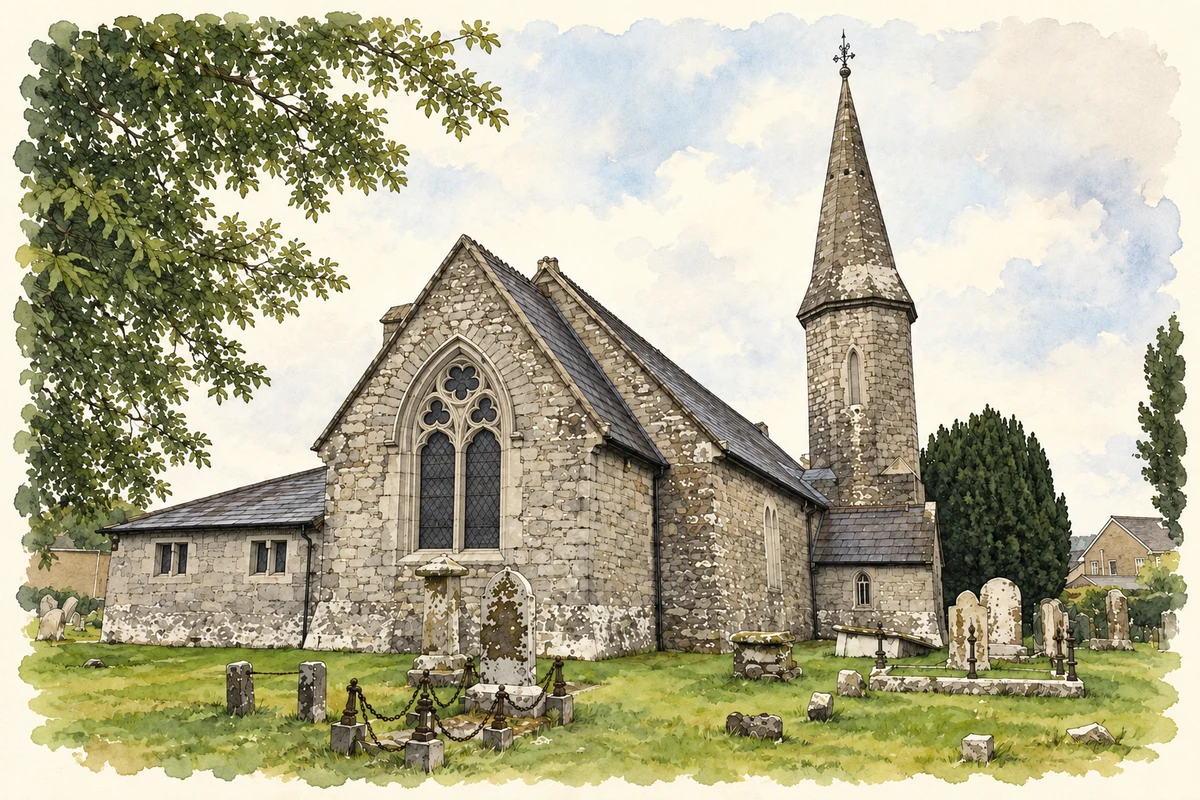
Joseph Welland's surviving church drawings document proposed changes to Saint Peter's in 1854, including an extra nave bay and a tower, spire and porch. The present building also contains a later side aisle added in 1867. Its pointed openings and stone detailing belong to the Gothic Revival transformation of an older place of worship. The architectural records give a more precise account than treating every part of the church as the product of a single rebuilding date. [4] [5]
Benson completes the river crossing
Leemount Bridge was built in 1846–48 as part of the Carrigrohane Straight, a road improvement approaching Cork. After an earlier attempt collapsed during construction, county surveyor John Benson designed and completed the replacement. Three limestone arches span the Lee, with projecting cutwaters and carefully dressed parapets. The bridge later carried the Cork and Muskerry Light Railway; damage during the Civil War interrupted that traffic before repairs allowed it to resume in 1923. Its fabric records both engineering ambition and subsequent disruption. [6]
Geographic information
- Place type
- Town
- County
- Cork
- Barony
- Cork
- Civil parish
- Carrigrohane
- Coordinates
- 51.89002, -8.55201 (approximate)
- Logainm ID
- 1165650 ↗
Sources & further reading
- Logainm.ie — Carrigrohane. Place names and geographic record, licensed under CC BY 4.0.
- 2002:0255 Carrigrohane Castle · Florence M. Hurley, Excavations.ie
- Carrigrohane Castle: NIAH 20907357 · National Inventory of Architectural Heritage
- Carrigrohane, Church of Saint Peter: architectural works record · Irish Architectural Archive, Dictionary of Irish Architects
- Saint Peter’s Church: NIAH 20907358 · National Inventory of Architectural Heritage
- Leemount Bridge: NIAH 20907353 · National Inventory of Architectural Heritage
- St Peter's Church, Carrigrohane illustration: based on a St. Peter's church Carrigrohane by Jonathan Thacker. AI-assisted watercolour and ink adaptation; cream paper margins added, incidental clutter omitted and fine details simplified. Licence: CC BY-SA 2.0; adapted illustration distributed under the same licence.
Name record retrieved 2026-10-25 · Source record modified 2025-01-10. How this page was prepared.