 placenames
Stepaside
An Chéim
Stepaside developed along the Dundrum–Enniskerry road, with a surviving pound and a documented role in the Dublin Volunteers’ 1915 manoeuvres.
The name
A reliable full-name meaning has not been established here. The recorded Irish and English forms are given without an unsupported translation.
Recorded forms
- An Chéim · Irish · main form · validated name
- Stepaside · English · main form
Place & story
A new roadside centre
During the nineteenth century Stepaside became a centre of activity as neighbouring Kilgobbin declined. Its position on the road from Dundrum to Enniskerry supported an inn, a forge and a police station. Quarrying on the lower slopes of Three Rock Mountain provided another source of employment in the surrounding district. A local history prepared for the Luas extension notes Dublin Corporation among the customers for paving stone from Barnacullia, connecting the upland economy with the streets of the city. [2]
The village pound
The rectangular enclosure on Stepaside Lane is a surviving animal pound, recorded as already standing in 1837. Its entrance has a roughly worked granite lintel above an iron gate, with substantial enclosing walls. The National Inventory of Architectural Heritage identifies it as part of south County Dublin’s built heritage. This modest structure preserves a practical feature of village administration and livestock management alongside the larger houses and churches more commonly recognised as historic buildings. [3]
Manoeuvres before the Rising
On 19 September 1915 the Dublin Brigade of the Irish Volunteers used Stepaside as the objective of a large training exercise. Patrick Pearse’s contemporary report describes Thomas MacDonagh commanding the defending force, while Pearse led the attacking side. The exercise used the roads, hedges and surrounding hills to test movements by riflemen. Its result was decided by umpires after the attackers entered the village late in the afternoon. This was organised preparation and practice, rather than a battle during the Easter Rising. [4]
Geographic information
Sources & further reading
- Logainm.ie — Stepaside. Place names and geographic record, licensed under CC BY 4.0.
- Luas Line B1 Environmental Impact Statement, Area14: local history, Stepaside · Railway Procurement Agency, RPS McHugh study team
- Stepaside Lane pound, 60250014 · National Inventory of Architectural Heritage
- The Dublin Brigade in Cuala, The Irish Volunteer, 2 October 1915 · P. H. Pearse
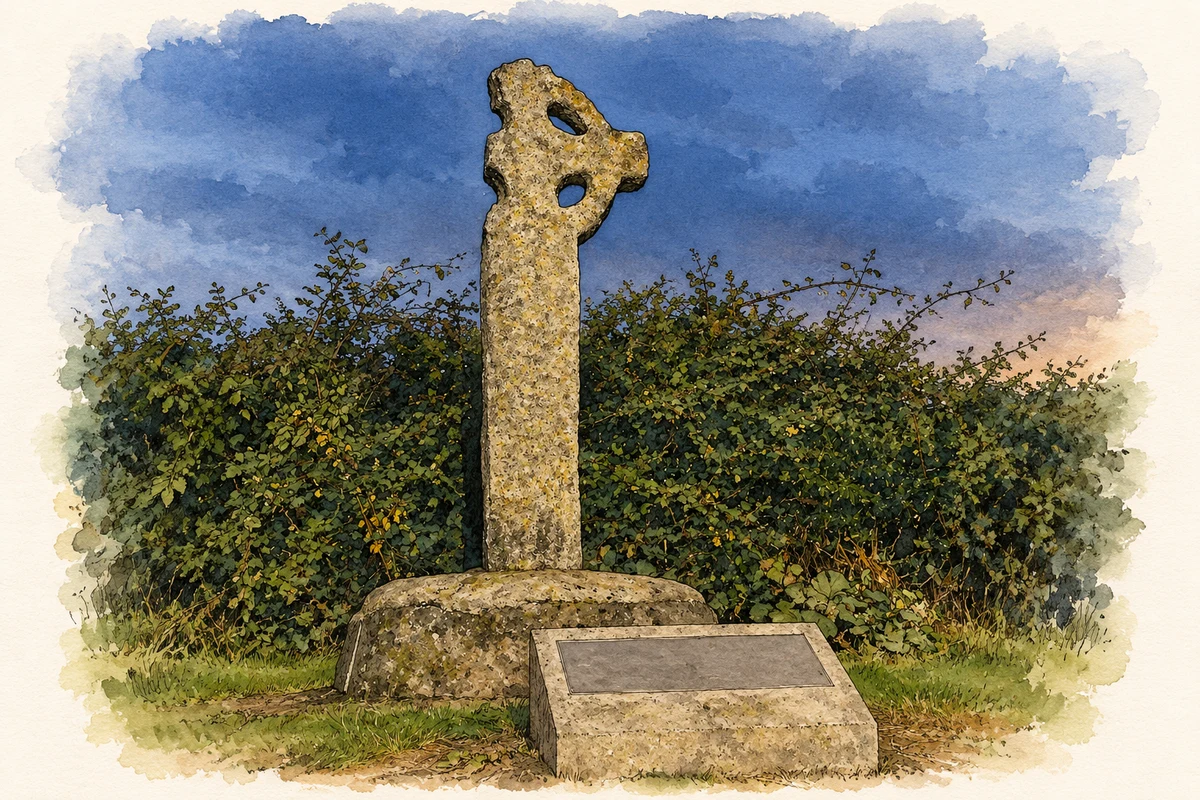
- Kilgobbin Cross, near Stepaside, Dublin illustration: based on a Kilgobbin Cross at dusk (30August2014) by Sydney Oosthuizen. AI-assisted watercolour and ink adaptation; cream paper margins added, incidental clutter omitted and fine details simplified. Licence: CC BY-SA 4.0.

Name record retrieved 2026-10-25 · Source record modified 2024-06-28. How this page was prepared.