 placenames
1901 census
104People recorded
25Households recorded
Most frequent surnames in this year’s matched records
Explore the 1901 records ↗An Chúil
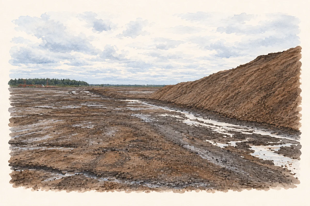
Coole’s townland contains a settlement recorded by nineteenth-century gazetteers and a western landscape shaped by commercial peat extraction.
These Irish name elements are associated with this record in the Logainm glossary.
An element’s translation is a clue, rather than a complete explanation of the name. Its form and meaning depend on local history and the full Irish name.
Samuel Lewis’s 1837 account describes Coole on the road between Castlepollard and Granard, with about seventy houses and 341 inhabitants. Its two small fairs took place on 20 May and 20 November. These figures concern the settlement rather than every household in the surrounding townland. [2]
The 1901 census explicitly places Coole town within the townland of the same name, estimating the town’s area at twenty-five acres. It returns 139 residents for the town and another 104 for the rural remainder. The distinction preserves two different scales of local life within one named land unit. [3]
A 2013 environmental assessment describes the western peat-working unit in Coole townland, south of the R395 and westward towards the River Inny. Its account dates the wider operation’s beginnings to the late 1950s, commercial drainage to 1982, and Westland Horticulture’s occupation to the mid-1990s. Those dates cover the multi-townland operation. [4]
Census figures refer to the matched historical census area for each year. Boundaries and spellings can change over time.
Most frequent surnames in this year’s matched records
Explore the 1901 records ↗Most frequent surnames in this year’s matched records
Most frequent surnames in this year’s matched records
Name record retrieved 2026-10-25 · Source record modified 2011-10-24. How this page was prepared.