Durrus stands at the head of Dunmanus Bay. Its history includes a practical campaign to change the village's postal name and a pioneering cheesemaking enterprise in the hills above it.
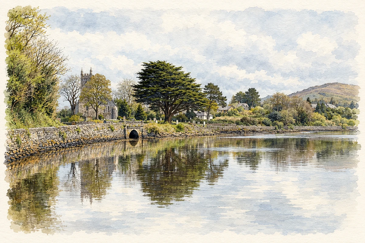
Illustration, St James Church and the waterfront at Durrus
⊕Recorded locationDurrus51.62157° N · 9.53146° WInteractive map supplied by OpenStreetMap.
A reliable full-name meaning has not been established here. The recorded Irish and English forms are given without an unsupported translation.
Recorded forms
Dúras· Irish · main form · validated name
Durrus· English · main form
Place & story
Why the village adopted Durrus
Carrigboy National School's local history records a public meeting on 31 March 1870 to promote improvements in the village then known as Carraigbuí. The proposals included adding money-order and savings-bank services to the post office and adopting the name Durrus. Postal confusion provided a practical reason: letters addressed to Carrigboy were being sent to other places with the same name. Durrus was already the parish name, so the change brought the village's postal identity into line with the surrounding district.[2]
Sea-sand, creeks and a church tower
Samuel Lewis's 1837 description shows how the bay supported the surrounding farming economy. Sea-sand was brought by water and landed at small creeks for use as manure. He recorded a police station at Carrigboy, monthly manor-court sittings and fortnightly petty sessions. The church near Four Mile Water had been built in 1792 with help from the Board of First Fruits, and its tower was raised and battlemented in 1830. Catholic chapels and a Methodist meeting place formed other parts of the parish's religious landscape.[3]
People & connections
Jeffa Gill at Coomkeen
Jeffa Gill bought a small farm at Coomkeen above Durrus in the early 1970s. She repaired the farmhouse, grew vegetables and milked cows, before joining the small group of West Cork producers experimenting with farmhouse cheese. Durrus Cheese won gold at Clones Agricultural Show in 1984. As production expanded, neighbour Ann McGrath joined the business and cheesemaking spread from the farm kitchen into outbuildings. In 1991 production moved entirely into converted farm buildings. Gill's work helped establish a new food-making tradition rooted in the district's milk supply.[4]
A gift for community life
Kathleen Dukelow donated land and money for the community centre known as Philips' Green. A local account published in 2015 recorded the gift as the centre approached its official opening. The name recalls her mother's Phillips family, who had managed estate affairs and operated the Bandon Arms Hotel and a coaching business in the village. The donation linked a modern community facility with an older family connection to Durrus's commercial life.[5]
Both counts use the 2016 settlement boundary, allowing like-for-like comparison. CSO supplies the 2022 count on this older boundary for comparison only. The official 2022 Built Up Area has different boundaries.
View population figures
Durrus — Census 2016 settlement footprint — census population
These are the historical areas published in the 2006 census report. Boundaries may differ between censuses and from modern settlements. Legal towns, environs and suburbs are shown separately; none has been combined into a modern settlement total.
View population figures
Durrus, Cork — Census town, CSO 2006 report — census population
These are the historical areas published in the 1996 census report. Boundaries may differ between censuses and from modern settlements. Legal towns, environs and suburbs are shown separately; none has been combined into a modern settlement total.
View population figures
Durrus, Cork — Census town, CSO 1996 report — census population
Figures cover the historical town area printed in the 1986 report. Boundaries may have changed between censuses. Legal town, environs and suburb totals remain separate and differ from modern settlement boundaries.
View population figures
Durrus, Cork — Census town, CSO 1986 report — census population
These figures use different area definitions. Read the boundary note before comparing them.
Durrus, Cork
Published census settlement populations
305people · 2016
Settlement boundaries changed during this period. Differences may reflect boundary changes as well as population change. Where a 2011 legal-town-and-environs count is shown, it has not been recalculated onto the 2016 settlement boundary.
St James Church and the waterfront at Durrus illustration: based on a Durrus Church by Andy Stephenson. AI-assisted watercolour and ink adaptation; cream paper margins added, incidental clutter omitted and fine details simplified. Licence: CC BY-SA 2.0.
 placenames