 placenames
Warrenpoint
An Pointe
Warrenpoint’s harbour and Edwardian park tell a story of trade and leisure beside the older stronghold at Narrow Water.
The name
A reliable full-name meaning has not been established here. The recorded Irish and English forms are given without an unsupported translation.
Recorded forms
- An Pointe · Irish · main form · validated name
- Warrenpoint · English · main form
Place & story
A harbour and a resort
Warrenpoint's growth accelerated after Newry merchants sought parliamentary help for a dock in 1767. The harbour provided work in shipbuilding, carpentry and sailing, and became a departure point for emigrants during the Great Famine. The railway reached the town in 1849, followed by a horse tram to Rostrevor in 1877. These connections helped the port become a seaside resort, linking commercial traffic with the arrival of holidaymakers. [2]
The park’s iron bandstand
The municipal park opened in 1907, laid out by Thomas Smith of Daisy Hill Nurseries. Its octagonal bandstand came from W. Macfarlane's Glasgow foundry. Slender iron columns, decorative brackets and a roof lantern give it an unusually elaborate silhouette. A plaque records its erection in 1907 and includes two rabbits, a small detail of civic imagery preserved in a structure built for public recreation. [3]
Narrow Water’s older defences
Just outside Warrenpoint, Narrow Water's tower house guarded the approach to Newry in the 1560s. A description from 1570 recorded a bawn containing a stable and nine cottages, with a boat landing outside its eastern wall. It later passed to the Magennis family and then to the Halls. Its military role ended long ago; eighteenth-century industrial uses and later conservation added further chapters before it became a State Care Monument in 1956. [4]
Geographic information
Sources & further reading
- Logainm.ie — Warrenpoint. Place names and geographic record, licensed under CC BY 4.0.
- The Development of Warrenpoint · Joanne Glymond, Newry and Mourne Museum
- Band Stand in the Town Park, HB 16/12/002 · Department for Communities, Historic Environment Division
- History of Narrow Water Castle · Ken Abraham, Newry and Mourne Museum
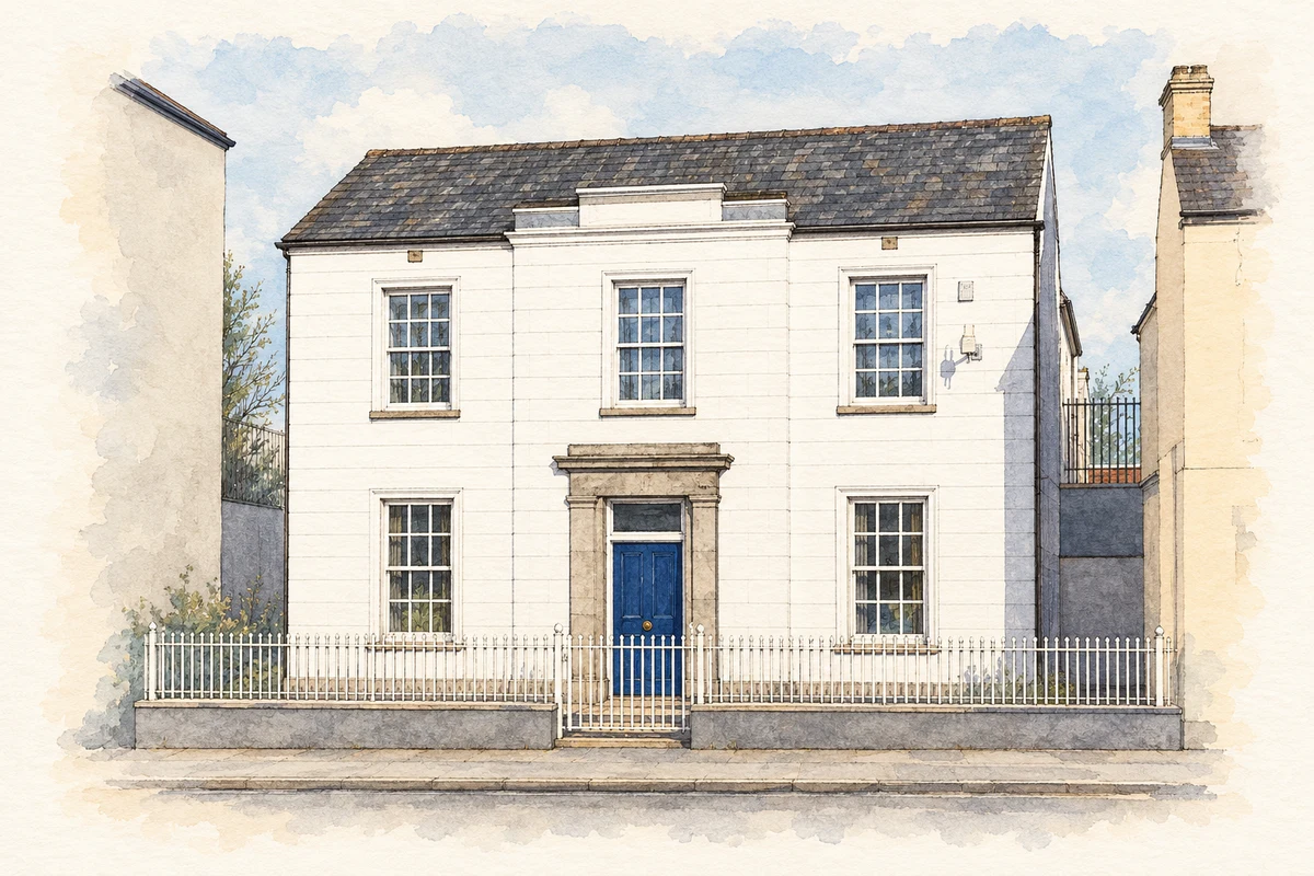
- Warrenpoint Town Hall illustration: based on a Former Town Hall, Warrenpoint by Rossographer. AI-assisted watercolour and ink adaptation; cream paper margins added, incidental clutter omitted and fine details simplified. Licence: CC BY-SA 2.0.
Name record retrieved 2026-10-25 · Source record modified 2019-10-08. How this page was prepared.