These Irish name elements are associated with this record in the Logainm glossary.
An element’s translation is a clue, rather than a complete explanation of the name. Its form and meaning depend on local history and the full Irish name.
Recorded forms
An tSráidbhaile· Irish · main form · validated name
Stradbally· English · main form
Place & story
Burgesses in the medieval records
The Urban Archaeological Survey records Stradbally as a borough by the end of the thirteenth century, while noting uncertainty about its founder and foundation date. An inquisition of 1298 refers to payments from its burgesses to Thomas FitzMaurice FitzGerald. Fourteenth-century accounts also mention the town's reeve and court income. These administrative traces establish an organised settlement before the village acquired its present streetscape. They provide firmer evidence for its medieval status than an attempt to date every visible building to the same period.[2]
The green and Woodhouse estate
The village centre took much of its present form during early nineteenth-century development by the owners of the nearby Woodhouse estate. Waterford's architectural conservation assessment identifies terraces of houses around the green, with simple door and window proportions and rendered facades. It also notes older buildings incorporated into the setting, including a prominent eighteenth-century house used as a Garda station. The green's character comes from this group of buildings and their arrangement, with individual houses altered while the broader planned form remains recognisable.[3]
Folklore & tradition
A coastal route past an old well
The local Slí na Sláinte route connects Stradbally with Ballyvooney Cove and passes a holy well identified in its guide as Tobber Cill Eilbe, beside two ogham stones. The guide records a traditional belief in the water's curative properties. That is evidence of the well's cultural significance, rather than a medical claim. Together, the coast, inscribed stones and well show how a short walk outside the village encounters several kinds of local heritage, extending beyond the houses surrounding the central green.[4]
Both counts use the 2016 settlement boundary, allowing like-for-like comparison. CSO supplies the 2022 count on this older boundary for comparison only. The official 2022 Built Up Area has different boundaries.
View population figures
Stradbally — Census 2016 settlement footprint — census population
Stradbally, Waterford — Census town, CSO 2006 report
2002–2006: census town
391people · 2006
These are the historical areas published in the 2006 census report. Boundaries may differ between censuses and from modern settlements. Legal towns, environs and suburbs are shown separately; none has been combined into a modern settlement total.
View population figures
Stradbally, Waterford — Census town, CSO 2006 report — census population
Stradbally, Waterford — Census town, CSO 1996 report
1991–1996: census town
262people · 1996
These are the historical areas published in the 1996 census report. Boundaries may differ between censuses and from modern settlements. Legal towns, environs and suburbs are shown separately; none has been combined into a modern settlement total.
View population figures
Stradbally, Waterford — Census town, CSO 1996 report — census population
Stradbally, Waterford — Census town, CSO 1986 report
1981–1986: census town
255people · 1986
Figures cover the historical town area printed in the 1986 report. Boundaries may have changed between censuses. Legal town, environs and suburb totals remain separate and differ from modern settlement boundaries.
View population figures
Stradbally, Waterford — Census town, CSO 1986 report — census population
These figures use different area definitions. Read the boundary note before comparing them.
Stradbally, Waterford
Published census settlement populations
438people · 2016
Settlement boundaries changed during this period. Differences may reflect boundary changes as well as population change. Where a 2011 legal-town-and-environs count is shown, it has not been recalculated onto the 2016 settlement boundary.
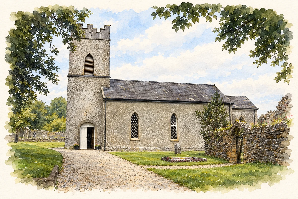
St James's Church of Ireland, Stradbally, County Waterford illustration: based on a St James (Anglican) Church - Stradbally by John M. AI-assisted watercolour and ink adaptation; cream paper margins added, incidental clutter omitted and fine details simplified. Licence: CC BY-SA 2.0.
 placenames