 placenames
Seaforde
Baile Forda
Seaforde’s estate landscape and village buildings reflect several generations of Forde patronage. Its walled garden was reinvented in the twentieth century, while restored almshouses preserve an earlier combination of charity and local government.
The name
These Irish name elements are associated with this record in the Logainm glossary.
An element’s translation is a clue, rather than a complete explanation of the name. Its form and meaning depend on local history and the full Irish name.
Recorded forms
- Baile Forda · Irish · main form · validated name
- Seaforde · English · main form
Place & story
The village and its estate entrance
Samuel Lewis’s 1837 description presents Seaforde as a carefully built village with a principal street and a smaller street branching at right angles. A freestone gateway and Greek-style lodge marked the entrance to the demesne at its northern end. The village also served as a local administrative centre: a manor court met every three weeks, petty sessions took place on alternate Tuesdays, and four annual fairs were listed. The estate’s presence therefore shaped both the appearance of the street and the activities that drew people into it. [2]
The walled garden’s changing uses
Seaforde’s estate history identifies the walled garden on a map of 1750. Its northern half supplied the house with produce, with a curved enclosing wall designed to capture sunlight and warmth; the southern half was ornamental. Glasshouses shown on an 1815 map supported demanding horticulture, and the head gardener won pineapple and melon prizes at Belfast’s 1833 horticultural show. After decline in the mid-twentieth century, Patrick and Lady Anthea Forde revived the garden in the 1970s, introducing the maze that became its new centrepiece. [3]
Almshouses and a courthouse restored
Colonel Forde built Seaforde’s almshouses in 1828, a date recorded on the central building’s plaque. The terrace combined accommodation for elderly residents with the village courthouse. Hearth’s restoration account describes the original homes as two small rooms with outside toilets. In the 1970s, the former courthouse became two homes, while pairs of almshouses were combined and given kitchen and bathroom extensions. Granite fireplaces and the courthouse’s pyramidal ceilings were retained. The restoration of 1979–80 adapted the historic buildings for continued residential use. [4]
Geographic information
Sources & further reading
- Logainm.ie — Seaforde. Place names and geographic record, licensed under CC BY 4.0.
- Seaforde: A Topographical Dictionary of Ireland, 1837 · Samuel Lewis
- The history of Seaforde Demesne and Gardens · Seaforde Gardens
- Seaforde Almshouses: restoration project · Hearth Historic Buildings Trust and Hearth Housing Association
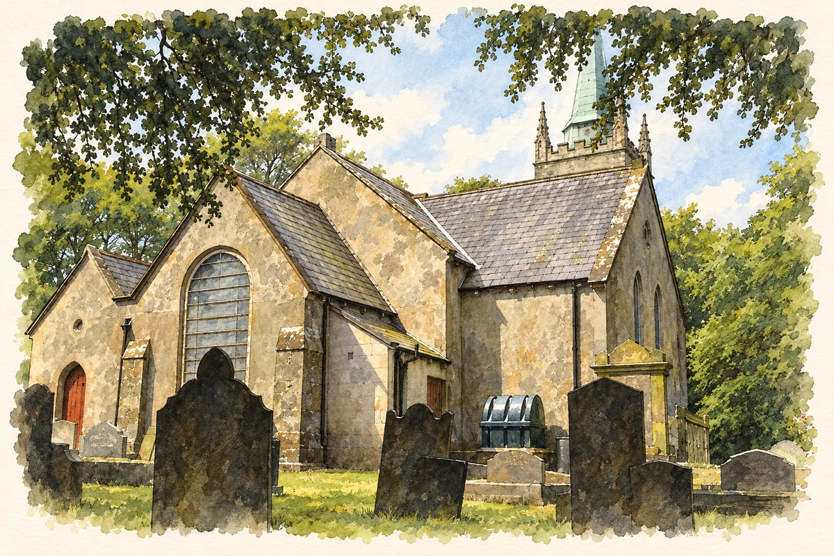
- Seaforde Church of Ireland parish church, County Down, viewed from the rear illustration: based on a Seaforde CoI church from the rear by Eric Jones. AI-assisted watercolour and ink adaptation; cream paper margins added, incidental clutter omitted and fine details simplified. Licence: CC BY-SA 2.0.
Name record retrieved 2026-10-25 · Source record modified 2019-10-08. How this page was prepared.