These Irish name elements are associated with this record in the Logainm glossary.
An element’s translation is a clue, rather than a complete explanation of the name. Its form and meaning depend on local history and the full Irish name.
Recorded forms
Fiodh Alúine· Irish · main form · validated name
Allenwood· English · main form
Place & story
A crossing on the Grand Canal
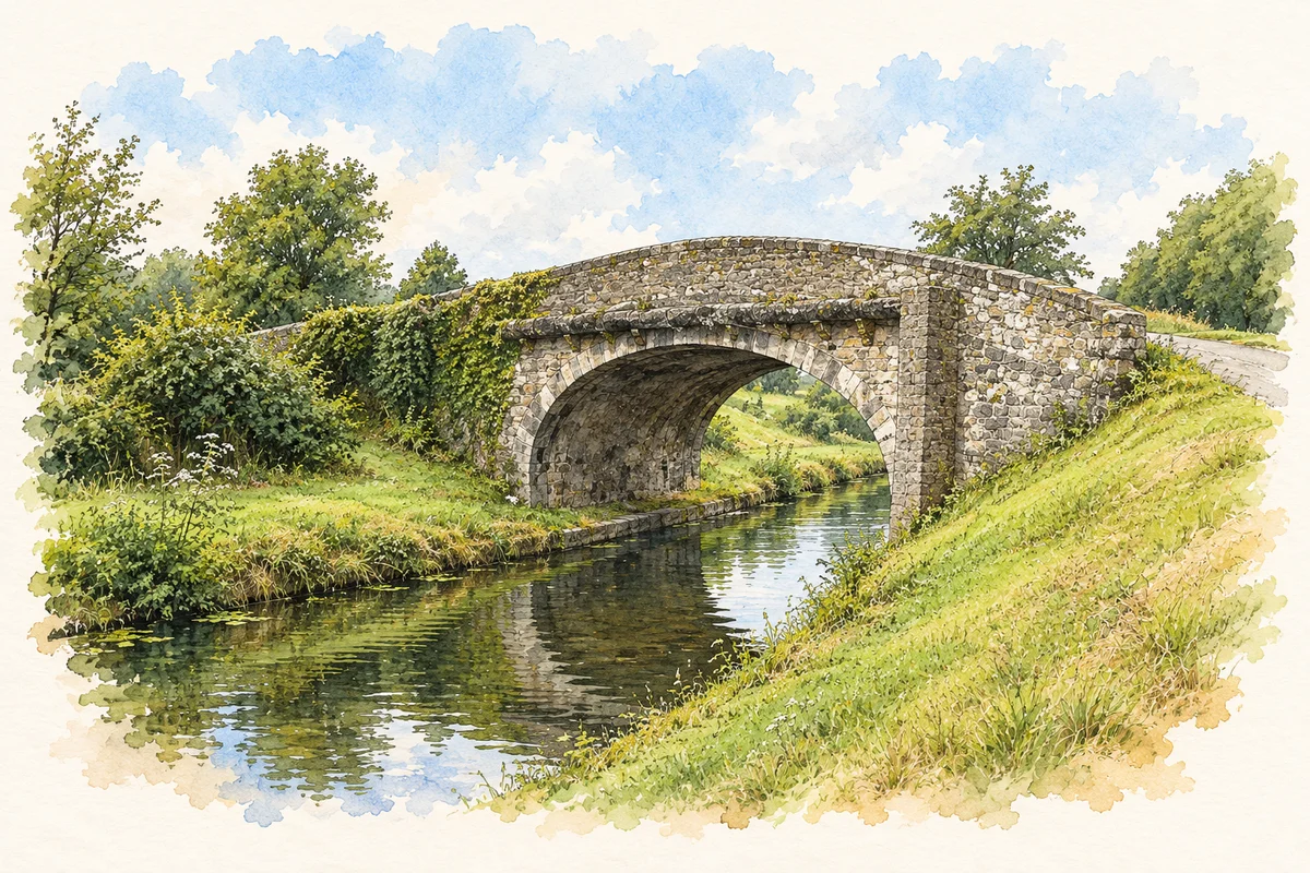
Shee Bridge, also recorded as Shea Bridge, carries a road across the Grand Canal near Allenwood. The National Inventory dates it to 1796 and describes a single round arch, rubble-stone walls and dressed stone voussoirs. Its humped profile allows the road to rise above the waterway. The bridge connects the local road network with the canal’s longer history of transport and engineering.[2]
Stonework that carried a route
The inventory draws attention to the original arch shape, cut-stone stringcourse and coping, and the quality of the masonry joints. These are practical structural features as well as visual details. Towpaths and grass banks form part of the setting, showing that the water route had its own working edges. A bridge is therefore evidence for intersecting journeys: traffic crossed above while boats and towpath users followed the canal below.[2]
A later community landmark
The Church of the Immaculate Conception is dated 1952. The inventory identifies a long single-cell plan, lancet windows and a more decorative entrance front, combining traditional Gothic references with the plainer treatment of the mid twentieth century. It belongs to a different phase of local building from the canal bridge. Keeping those dates separate makes Allenwood’s landscape easier to read: surviving structures can stand close together while representing very different periods, materials and community needs.[3]
Electricity from the adjoining bogs
Allenwood acquired a major industrial role in the twentieth century. ESB’s archive records that construction of its generating station began in February 1949. The first generating set entered service in January 1952 and the second followed that September. The plant was designed specifically to burn sod peat from the adjoining Timahoe bogs. Its two 20,000-kilowatt turbo-alternators gave it a combined capacity of 40 megawatts. The local landscape thus supplied fuel to a national electricity system, adding a very different kind of infrastructure to the older canal crossing.[4][5]
An industrial landmark that disappeared
The station’s own publicity material describes four boilers and an annual peat requirement of about 260,000 tons. ESB records an average annual output of 190 million units at its peak in the 1970s and 1980s. The station was decommissioned in 1993 and demolished in 1994. Unlike the surviving bridge and church, its physical prominence has largely passed into photographs and engineering records. These dates also place the church’s completion in 1952 beside a major industrial opening in the same year, without assuming that one project caused the other.[4][5]
Both counts use the 2016 settlement boundary, allowing like-for-like comparison. CSO supplies the 2022 count on this older boundary for comparison only. The official 2022 Built Up Area has different boundaries.
View population figures
Allenwood — Census 2016 settlement footprint — census population
These figures use different area definitions. Read the boundary note before comparing them.
Allenwood, Kildare
Published census settlement populations
981people · 2016
Settlement boundaries changed during this period. Differences may reflect boundary changes as well as population change. Where a 2011 legal-town-and-environs count is shown, it has not been recalculated onto the 2016 settlement boundary.
Shee Bridge, Grand Canal illustration: based on a reference by JP. AI watercolour/ink adaptation; clutter removed, margins added and fine details simplified. Licence: CC BY-SA 2.0.
 placenames