Carney's cattle fairs and village schools served a rural district on Drumcliff Bay. Its modern walking loop links the settlement with the surrounding landscape beneath Benbulben.
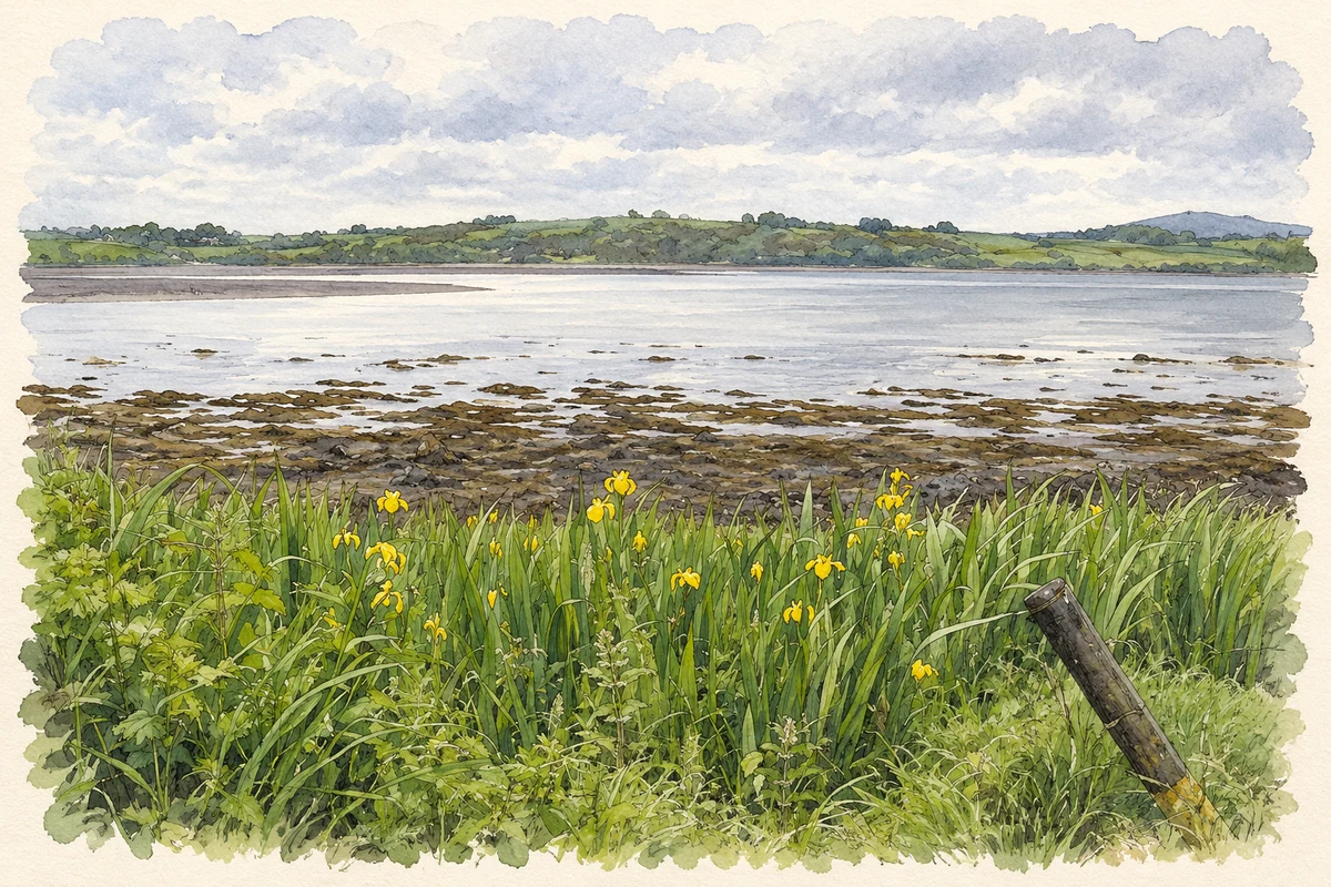
Illustration, Drumcliff Bay at Coolbeg, near Carney
⊕Recorded locationCarney54.33871° N · 8.52778° WInteractive map supplied by OpenStreetMap.
These Irish name elements are associated with this record in the Logainm glossary.
An element’s translation is a clue, rather than a complete explanation of the name. Its form and meaning depend on local history and the full Irish name.
Recorded forms
Fearann Uí Chearnaigh· Irish · main form · validated name
Carney· English · main form
Place & story
Market day and the fairs
In 1837 Samuel Lewis counted forty-five houses and 220 inhabitants in Carney. A Thursday market and fairs on 26 May and 24 June gave the village a regular trading role, especially for cattle and sheep. Lewis placed it on Drumcliff Bay, a short distance away from the main Sligo–Ballyshannon road. A police force was stationed here, and Sir Robert Gore-Booth was the principal supporter of the dispensary. These services made Carney a small local centre for the surrounding farming population.[2]
The changing village schools
Rathcormac National School's history records 196 pupils enrolled at Carney in 1870, with average daily attendance of only fifty-seven. An older school in Carney Jones continued until 1941, when a new two-teacher school, St Finian's, replaced it. Padraic Tansey and Maura McMorrow moved to the new building as its teachers. St Finian's itself closed in 1976, when pupils from Carney, Lugnagall and St Colmcille's transferred to the new central school at Rathcormac. The successive moves trace how small village schools were eventually brought together to serve a wider district.[3]
A walk around the village
The Carney village loop was described by Sligo Walks in January 2023 as a recently completed route. Beginning at the Yeats United grounds, it follows a largely flat circuit with views towards Benbulben. The path passes through woodland, skirts the GAA pitch at Oxfield and joins a minor road. Its course places the village's sporting grounds alongside the wooded and open landscapes at the edge of the settlement. It also gives a modern public use to paths around a place whose nineteenth-century life was organised around markets, fairs and local services.[4]
Both counts use the 2016 settlement boundary, allowing like-for-like comparison. CSO supplies the 2022 count on this older boundary for comparison only. The official 2022 Built Up Area has different boundaries.
View population figures
Carney — Census 2016 settlement footprint — census population
These are the historical areas published in the 2006 census report. Boundaries may differ between censuses and from modern settlements. Legal towns, environs and suburbs are shown separately; none has been combined into a modern settlement total.
View population figures
Carney, Sligo — Census town, CSO 2006 report — census population
These figures use different area definitions. Read the boundary note before comparing them.
Carney, Sligo
Published census settlement populations
395people · 2016
Settlement boundaries changed during this period. Differences may reflect boundary changes as well as population change. Where a 2011 legal-town-and-environs count is shown, it has not been recalculated onto the 2016 settlement boundary.
 placenames