 placenames
Straidkelly
Sráid Choilleadh
Historical records place Straidkelly above the newer coast road and trace farming households alongside limestone extraction at Straidkilly clachan.
The name
These Irish name elements are associated with this record in the Logainm glossary.
An element’s translation is a clue, rather than a complete explanation of the name. Its form and meaning depend on local history and the full Irish name.
Recorded forms
- Sráid Choilleadh · Irish · main form · non-validated name
- Straidkelly · English · main form
Place & story
Above the coast road
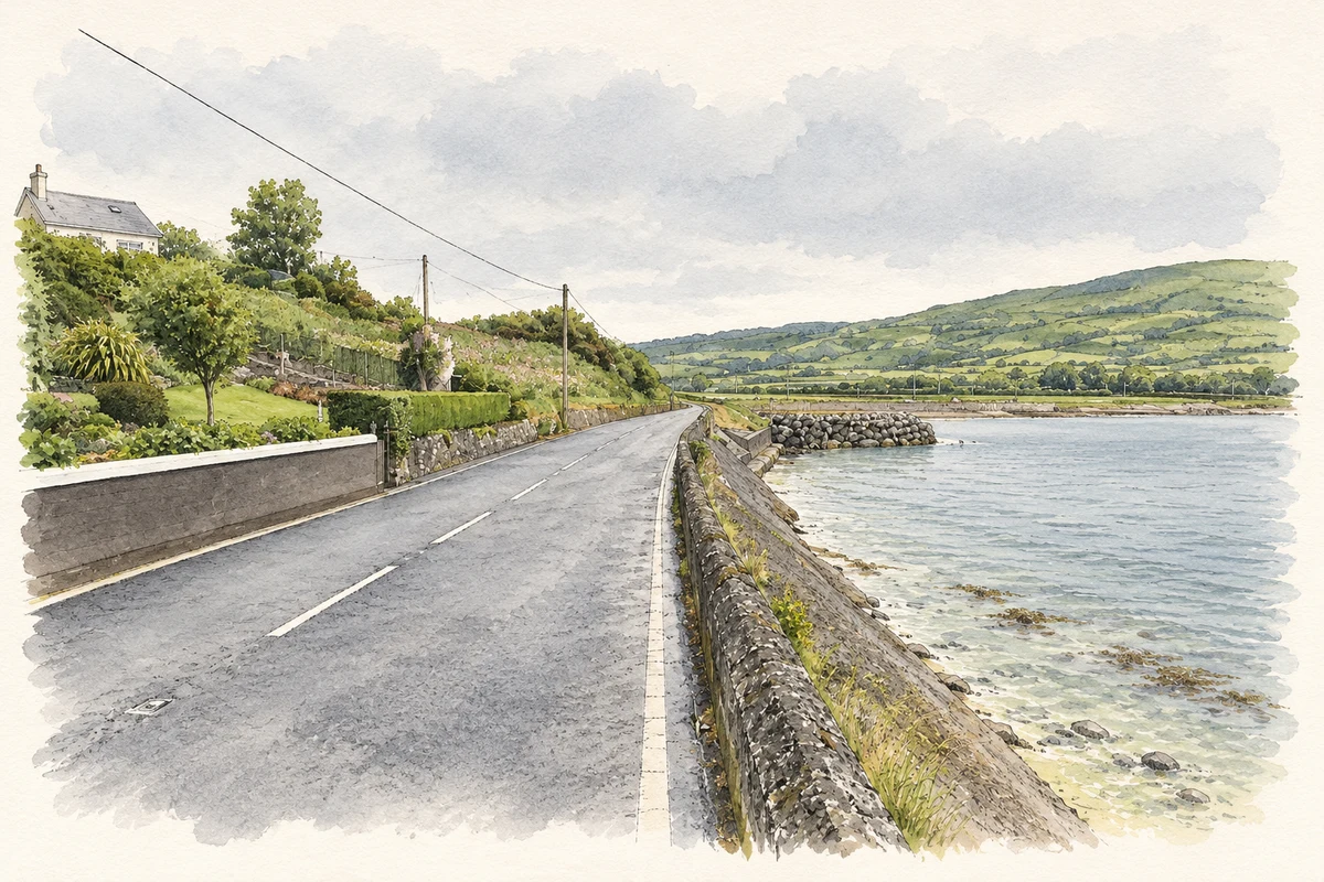
Samuel Lewis recorded Straidkelly, also called Straightkelly, as a village of twenty-five houses and 172 inhabitants in 1837. It stood on Cloony hill, where the old road climbed to nearly 200 feet above the sea. Below it, the newer military road followed the shore at little more than fifteen feet above high water, creating two markedly different routes through the coastal landscape. [2]
Families in the clachan
The Glens of Antrim Historical Society’s valuation research places Straidkilly clachan in Bay townland, within the Earl of Antrim’s estate. In 1860 its houses included three McVicker households, two Lowry households and families named Price and Hume. The researchers caution that individual scattered plots cannot all be located precisely, and that relationships between similarly named residents remain uncertain. [3]
Farming and limestone
Limestone working brought another livelihood to Bay during the later nineteenth century. The society identified quarrying on land also occupied by farmers, temporary accommodation for workers and quarrymen recorded in the 1901 census. Across the whole townland, rather than the clachan alone, population fell from 100 in 1911 to fifty-eight in 1926. The researchers suggest that the industry’s changing fortunes contributed to this decline. [3]
Geographic information
- Place type
- Population centre
- County
- Antrim
- Barony
- Glenarm Lower
- Civil parish
- Tickmacrevan
- Within
- Bay
- Coordinates
- 54.97848, -5.97420
- Logainm ID
- 118076 ↗
Sources & further reading
- Logainm.ie — Straidkelly. Place names and geographic record, licensed under CC BY 4.0.
- Straidkelly, A Topographical Dictionary of Ireland (1837) · Samuel Lewis
- Change in Straidkilly, 1860s to 1900s · Glens of Antrim Historical Society
- The coast road at Straidkilly, also recorded as Straidkelly, as photographed in July 2013 illustration: based on a A2, Straidkilly by Richard Webb. AI-assisted watercolour and ink adaptation; cream paper margins added, incidental clutter omitted and fine details simplified. Licence: CC BY-SA 2.0.
Name record retrieved 2026-10-25 · Source record modified 2026-07-01. How this page was prepared.