 placenames
Loughtee Upper
Lucht Tí Uachtarach
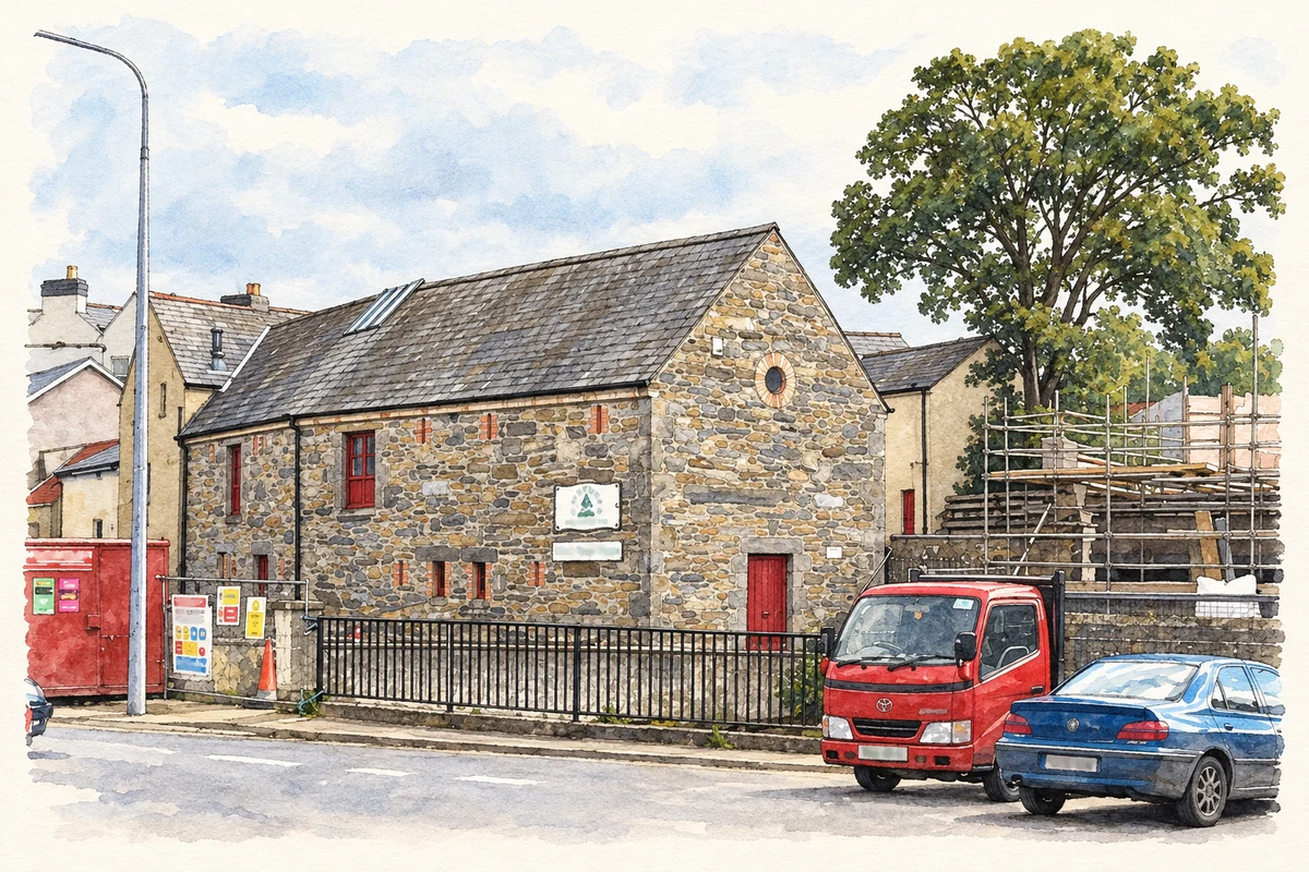
Greene’s Mill preserves evidence of the town’s water-powered industry.
The name
These Irish name elements are associated with this record in the Logainm glossary.
An element’s translation is a clue, rather than a complete explanation of the name. Its form and meaning depend on local history and the full Irish name.
Recorded forms
- Lucht Tí Uachtarach · Irish · main form · non-validated name
- Loughtee Upper · English · main form
Place & story
Corn milling on River Street
The former Greene’s Mill on River Street in Cavan was built in 1846. The architectural survey records a two-storey corn mill beside a historic millrace, with openings arranged for moving grain and finished products through the building. It was adapted as a museum and coffee shop in 1995, when another mill building was moved and reconstructed beside it. The 2012 survey identified it as the survivor of five mills in the town. [2]
Geographic information
Sources & further reading
- Logainm.ie — Loughtee Upper. Place names and geographic record, licensed under CC BY 4.0.
- Lifeforce Mill, formerly Greene’s Mill: NIAH40001069, recorded13June2012 · National Inventory of Architectural Heritage
- Lifeforce Mill in Cavan town illustration: based on a The Lifeforce Mill, Cavan Town by Eric Jones. AI-assisted watercolour and ink adaptation; cream paper margins added, incidental clutter omitted and fine details simplified. Licence: CC BY-SA 2.0.
Name record retrieved 2026-10-25 · Source record modified 2017-02-06. How this page was prepared.