 placenames
Farsid-Rostellan
Older records call this harbour-side village Farcet, Farside and Rostellan. Its history connects quay-side trade, estate employment and a country house that has disappeared.
The name
A reliable full-name meaning has not been established here. The recorded Irish and English forms are given without an unsupported translation.
Recorded forms
- Farsid-Rostellan · English · main form
Place & story
A working village on the creek
Samuel Lewis described Farcet, also called Farside or Rostellan, as a village of 123 inhabitants in 1837. Houses along the shore were occupied chiefly by workers and servants attached to the Marquess of Thomond’s neighbouring estate. A quay and stores handled coal, sea-sand and other goods, while two fairs supplied the farming district. Lewis also recorded a school founded by Bishop John Brinkley, with land for its support and substantial assistance from the Marchioness of Thomond. The village’s domestic, educational and commercial life was closely tied to the demesne. [2]
Rostellan Castle changes hands
Rostellan Castle was a seat of the Marquess of Thomond. The University of Galway’s Landed Estates database traces its later ownership through the Wise family and Sir John Pope Hennessy; Lady Pope Hennessy was recorded there in 1894. By the early 1940s, an Irish Tourist Association survey reported that its roof and fittings had been removed and that the Land Commission had taken over the land. The house itself no longer survives, making the remaining estate landscape especially important to understanding its former presence. [3]
Offerings beside a holy well
Lewis’s parish account records a holy well near the demesne and an ash tree covered in offerings to its patron saint. He also noticed a nearby stone bearing a representation of the Crucifixion. This is evidence of a devotional practice recorded in 1837, rather than proof of a miraculous event or a particular cure. The account places religious observance in the landscape beyond the estate’s carefully maintained gardens, alongside features used and remembered by the surrounding community. [4]
Geographic information
Sources & further reading
- Logainm.ie — Farsid-Rostellan. Place names and geographic record, licensed under CC BY 4.0.
- Farcet, Farside or Rostellan: A Topographical Dictionary of Ireland (1837) · Samuel Lewis
- Rostellan, property 3617 · University of Galway Landed Estates
- Rostellan: A Topographical Dictionary of Ireland (1837) · Samuel Lewis / GB Historical GIS
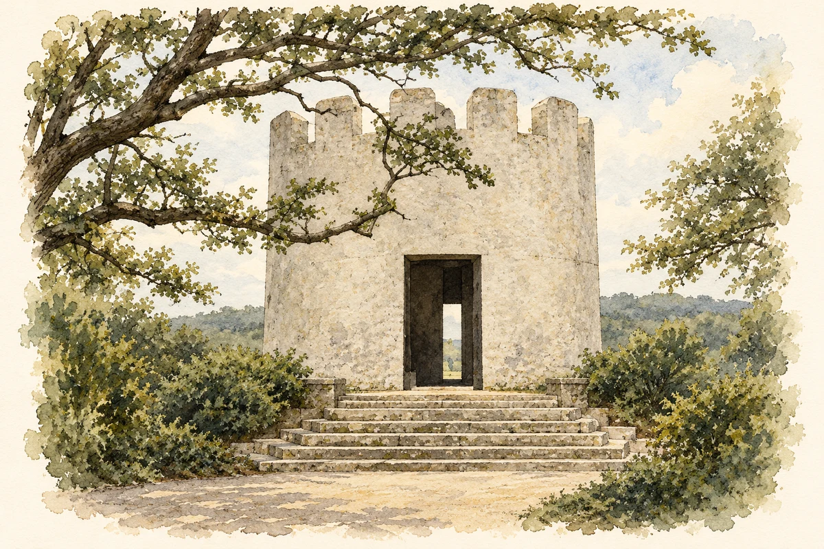
- Siddons' Tower, Rostellan, circa 1911 illustration: based on a Siddons' Tower in Rostellan, County Cork, Ireland.jpg by Rev. Richard J. Hodges (1862–1944). AI-assisted watercolour and ink adaptation; cream paper margins added, incidental clutter omitted and fine details simplified. Licence: Public domain (author died1944; published1911).

Name record retrieved 2026-10-25 · Source record modified 2009-06-23. How this page was prepared.