 placenames
Sandyford
Áth an Ghainimh
Sandyford’s village institutions and later industrial estate record two distinct phases of growth on Dublin’s southern edge.
The name
These Irish name elements are associated with this record in the Logainm glossary.
An element’s translation is a clue, rather than a complete explanation of the name. Its form and meaning depend on local history and the full Irish name.
Recorded forms
- Áth an Ghainimh · Irish · main form · validated name
- Sandyford · English · main form
Place & story
Completing Saint Mary’s
Saint Mary's Church had been dedicated in 1806 but remained unfinished when Patrick Smyth became parish priest in 1829. Sandyford had previously formed part of Cabinteely parish. The parish history credits B. C. Lawless with financing a roof in 1830, and records a tower, spire and vestry in place by 1840. Smyth also established a library in a church porch, linking the improvement of the building with wider educational ambitions. [2]
The school at Lamb’s Cross
Saint Mary's Woodside National School at Lamb's Cross traces its first building to 1841, on the site of a small country hospital. A granite-faced replacement with a green steeple opened in 1936. The school's history connects later expansion with the growth of housing and industry around Sandyford and Stepaside. A two-storey extension followed in 2011. These successive buildings show an established village institution adapting to a much larger suburban population. [3]
Land for the industrial estate
The National Library's record of a 1993 local-history photograph dates the industrial estate's official opening to 3 June 1977, by Senator John Boland. Dublin County Council acquired two hundred acres from Colonel Hume Dudgeon and Lady Eileen Galvin, reserving about a quarter for roads and other infrastructure. Industrial sites were offered on 250-year leases. The record describes a mixture of factories, offices and warehouses, documenting the planned development behind Sandyford's later business landscape. [4]
Geographic information
Sources & further reading
- Logainm.ie — Sandyford. Place names and geographic record, licensed under CC BY 4.0.
- History of Saint Mary’s Church, Sandyford · Sandyford Parish
- Saint Mary’s Woodside National School: History · Saint Mary’s Woodside National School
- Sandyford Industrial Estate, photograph and historical record, 22 August 1993 · Liam Clare and Vicky Cremin, Foxrock Local History Club; National Library of Ireland
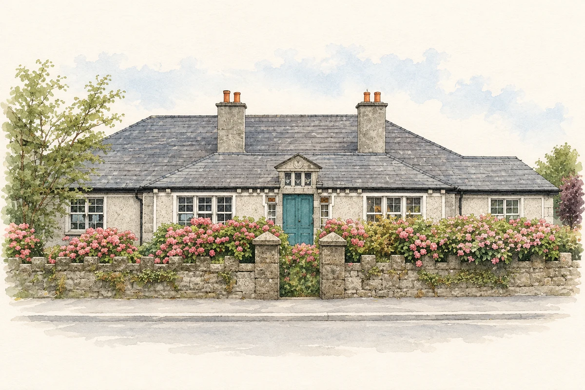
- Sandyford Community Centre, former Carnegie library, County Dublin illustration: based on a Sandyford Community Centre by JP. AI-assisted watercolour and ink adaptation; cream paper margins added, incidental clutter omitted and fine details simplified. Licence: CC BY-SA 2.0.
Name record retrieved 2026-10-25 · Source record modified 2024-06-28. How this page was prepared.