 placenames
Irishtown
An Baile Gaelach
Kilkenny’s older cathedral settlement retains a distinct identity in its civic records, approaches and changing streets.
The name
These Irish name elements are associated with this record in the Logainm glossary.
An element’s translation is a clue, rather than a complete explanation of the name. Its form and meaning depend on local history and the full Irish name.
Recorded forms
- An Baile Gaelach · Irish · main form · validated name
- Irishtown · English · main form
Place & story
A town with its own records
Irishtown developed around Saint Canice’s Cathedral, distinct from the Hightown associated with Anglo-Norman settlement further south. Kilkenny’s local-authority digital archive preserves this distinction through its account of Irishtown’s former administrative independence and the survival of its Corporation Book. The name therefore describes a historic urban community as well as a modern street. Its records belong to the history of a separate civic centre within the later city. [2]
Dean Street’s changing approach
Dean Street appears by name in the Civil Survey of 1654–56. It formerly led west and south-west towards Kennyswell and provided access to the dean’s residence; one of Irishtown’s gates also stood here. The street was widened and extensively redeveloped from the 1980s. Photographs assembled by the digital archive, including views from around 1970 and later decades, document that changing setting at the foot of the cathedral precinct. [2]
Steps, gates and the cathedral close
The approach to Saint Canice’s includes seventeenth-century limestone steps and an archway built by cathedral procurator Robert Wale. Houses once lined the neighbouring Velvet Lane, much of which disappeared through demolition in the 1970s. Nearby, the deanery dates from 1729. Its iron gates have a different origin: they came from the Shee mansion on Parliament Street, a building later associated with the Confederate government. These relocated and surviving structures connect the close with streets beyond its boundaries. [3]
Geographic information
- Place type
- Population centre
- County
- Kilkenny
- Barony
- Kilkenny
- Civil parish
- Saint Canice
- Coordinates
- 52.65296, -7.26109 (approximate)
- Logainm ID
- 128228 ↗
Sources & further reading
- Logainm.ie — Irishtown. Place names and geographic record, licensed under CC BY 4.0.
- Irishtown and Dean Street · Kilkenny Digital Archive
- History of Saint Canice’s Cathedral: the Close · Saint Canice’s Cathedral
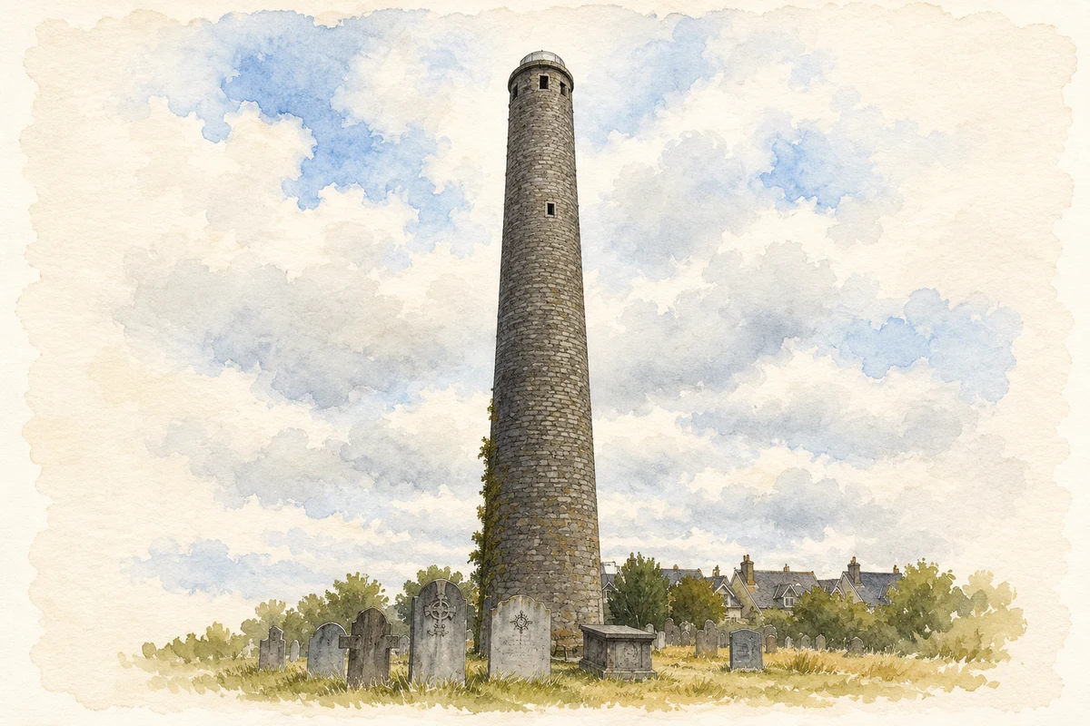
- Saint Canice's Round Tower, Irishtown, Kilkenny illustration: based on a St Canice's Tower by N Chadwick. AI-assisted watercolour and ink adaptation; cream paper margins added, incidental clutter omitted and fine details simplified. Licence: CC BY-SA 2.0.
Name record retrieved 2026-10-25 · Source record modified 2015-12-02. How this page was prepared.