 placenames
Glendalough
Gleann Dá Loch
Glendalough’s religious settlement belongs to a wider landscape of lakes, saintly tradition and industrial remains.
The name
These Irish name elements are associated with this record in the Logainm glossary.
An element’s translation is a clue, rather than a complete explanation of the name. Its form and meaning depend on local history and the full Irish name.
Recorded forms
- Gleann Dá Loch · Irish · main form · validated name
- Glendalough · English · main form
Place & story
The valley and its lakes
Glendalough occupies a valley shaped by Ice Age glaciers, with steep sides and a broad floor. Geological Survey Ireland explains that the two lakes are separated by a low alluvial fan, deposited by water flowing down from higher ground to the south. The landscape therefore records both glacial excavation and the later movement of sediment through the valley. [4]
A medieval ecclesiastical landscape
The monastery associated with St Kevin developed into a major religious centre. The National Monuments Service places its greatest influence in the eleventh and twelfth centuries. St Saviour’s Church, built in the 1150s for Augustinian canons, preserves elaborate Romanesque carving. Elsewhere, the small building called the Priest’s House was probably designed to contain relics associated with Kevin. The surviving churches belong to several stages of the settlement’s development. [2]
St Kevin’s Bed
A small artificial cave above the Upper Lake is known as St Kevin’s Bed. Tradition associates it with the saint’s life of retreat and prayer. Heritage Ireland distinguishes that association from the cave’s uncertain origins, suggesting that it may have served as a prehistoric burial place before Kevin’s time. The traditional name does not establish when it was made. [3]
Lead ore and the Miners’ Village
At the head of the Upper Lake, the so-called Miners’ Village was principally an ore-processing site. In the 1850s, workings through Camaderry connected it with the Luganure lead deposits in Glendasan. Ore was brought to Glendalough for crushing and dressing. A smaller operation recovered lead from waste rock between 1913 and 1925. Remains include a mill house, forge, offices and a stone hopper. [4]
Geographic information
- Place type
- Population centre
- County
- Wicklow
- Barony
- Ballinacor North
- Civil parish
- Derrylossary
- Coordinates
- 53.01202, -6.33108 (approximate)
- Logainm ID
- 128821 ↗
Sources & further reading
- Logainm.ie — Glendalough. Place names and geographic record, licensed under CC BY 4.0.
- Glendalough: monuments from the air · National Monuments Service
- Glendalough Monastic Site and Visitor Centre · Office of Public Works, Heritage Ireland
- Glendalough Valley: County Geological Site ReportWW 025 · Geological Survey Ireland
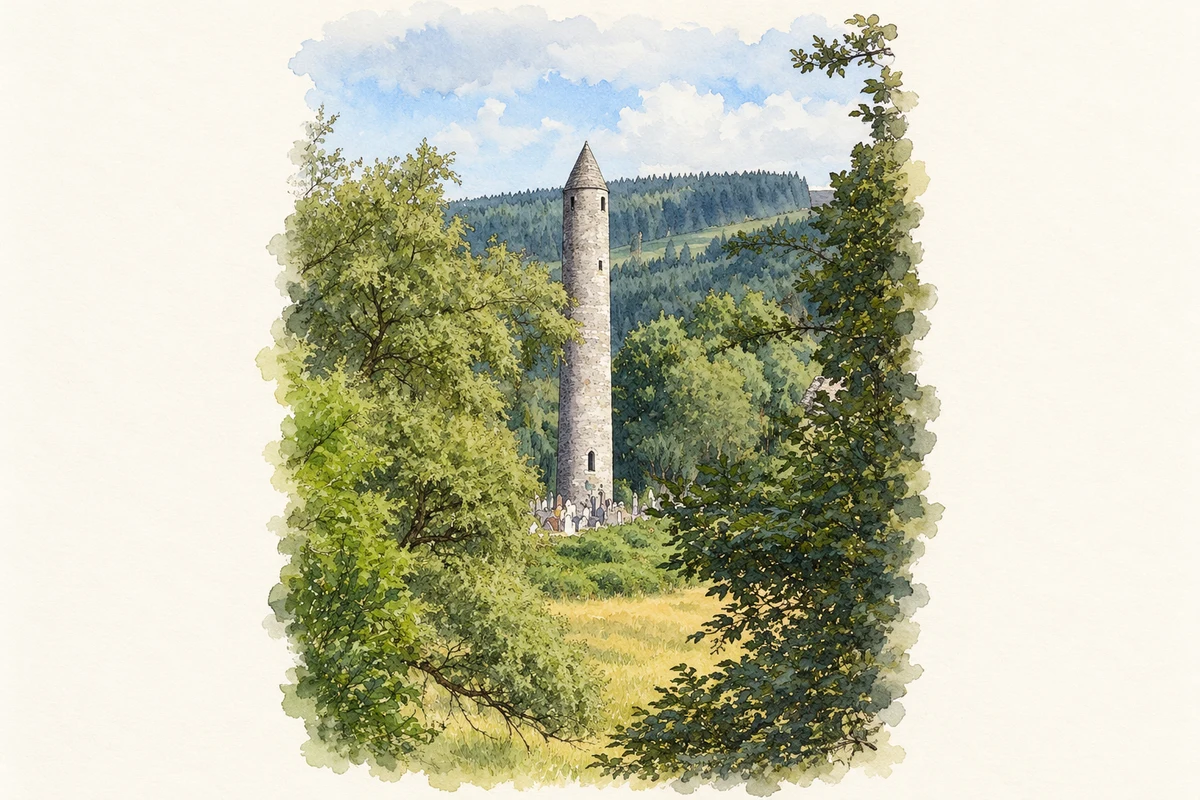
- Glendalough Round Tower, County Wicklow illustration: based on a Glendalough Round Tower by N Chadwick. AI-assisted watercolour and ink adaptation; cream paper margins added, incidental clutter omitted and fine details simplified. Licence: CC BY-SA 2.0.
Name record retrieved 2026-10-25 · Source record modified 2025-08-05. How this page was prepared.