 placenames
Burnside
Taobh an tSrutháin
Burnside’s Presbyterian congregation grew with Portstewart, moving from borrowed premises to a purpose-built church on Mill Road.
The name
These Irish name elements are associated with this record in the Logainm glossary.
An element’s translation is a clue, rather than a complete explanation of the name. Its form and meaning depend on local history and the full Irish name.
Recorded forms
- Taobh an tSrutháin · Irish · main form · validated name
- Burnside · English · main form
Place & story
Beginning in the Orange Hall
Burnside Presbyterian Church began as a church-extension congregation in 1974, meeting in Burnside Orange Hall under Samuel Millar. Its own timeline records the setting of parish boundaries in April 1977 and Eric Borland’s installation the following year. A foundation stone for a combined church and hall was laid on Mill Road in June 1978, and the building opened in March 1979. The sequence charts a new congregation establishing its own premises in a growing neighbourhood. [2]
A permanent church on Mill Road
The next building phase began with a foundation stone in November 1989. A new church, joined to the existing hall, was dedicated in November 1990. The manse followed in 1994, and in January 1995 Burnside became a fully constituted congregation within the Presbyterian Church in Ireland. The buildings and changing status mark successive stages in the development from an extension project into an established local parish community. [2]
Hugh Mullin’s supporting role
Presbyterian minister and historian Hugh Mullin helped support the foundation of Burnside, Hazelbank and Ballysally through his work as convener of church extension in the Coleraine presbytery. Linde Lunney’s biographical account places these developments within the population growth of the 1960s and 1970s. Mullin is also remembered for detailed local histories of Ballyrashane and Coleraine. His connection with Burnside concerned the creation of the congregation, rather than service as its resident minister. [3]
Geographic information
- Place type
- Population centre
- County
- Derry
- Civil parish
- Ballyaghran
- Within
- Crossreagh East
- Coordinates
- 55.17347, -6.71547
- Logainm ID
- 129720 ↗
Sources & further reading
- Logainm.ie — Burnside. Place names and geographic record, licensed under CC BY 4.0.
- About Us: Burnside History · Burnside Presbyterian Church, Portstewart
- Mullin, Thomas Hugh, a9430 · Linde Lunney, Dictionary of Irish Biography
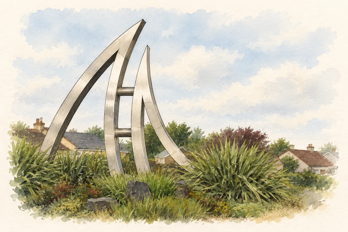
- Red Sails sculpture, Burnside roundabout illustration: based on a The Burnside roundabout, Portstewart by Albert Bridge. AI-assisted watercolour and ink adaptation; cream paper margins added, incidental clutter omitted and fine details simplified. Licence: CC BY-SA 2.0.
Name record retrieved 2026-10-25 · Source record modified 2026-07-15. How this page was prepared.