 placenames
Park
An Pháirc
Learmount’s changing uses connect Park with estate planting, wartime evacuation and outdoor recreation beside the Faughan.
The name
These Irish name elements are associated with this record in the Logainm glossary.
An element’s translation is a clue, rather than a complete explanation of the name. Its form and meaning depend on local history and the full Irish name.
Recorded forms
- An Pháirc · Irish · main form · validated name
- Park · English · main form
Place & story
An estate beside the village
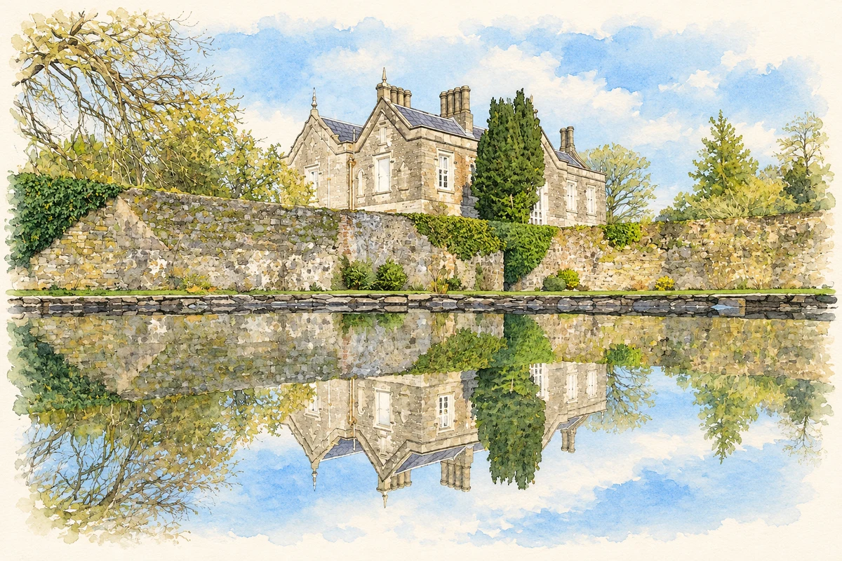
Learmount Forest adjoins Park on the northern foothills of the Sperrins. The Forest Service acquired the woodland at the end of the Second World War. Its earlier planting is associated with Henry Barré de la Poer Beresford. The castle, enlarged around 1830 from an older Montgomery residence, subsequently housed Ashleigh House Girls’ School from Belfast during the war. It later became a youth hostel. These successive uses carried the estate beyond its origins as a private country residence. [2]
A base for orienteering
The North West Orienteering Club remembers Learmount’s youth hostel as an informal outdoor education centre and club base in the 1970s and 1980s. A forest map produced jointly by club members and Venture Scouts in the mid-1970s was among Northern Ireland’s early professionally printed orienteering maps. Later mapping added colours, contours and a larger area. This history connects the woodland at Park with the development of an organised outdoor sport. [3]
The lost and restored Footstick
Park’s pedestrian bridge known as the Footstick was swept away in the severe flooding of August 2017. Its replacement formed part of a council project improving routes through Learmount Forest, including access from Altinure Road and the country park car park. New paths, seating and signs accompanied the bridge. The council’s account described the crossing as part of a route used for more than 150 years, giving the modern work a place in the village’s longer landscape history. [4]
Geographic information
Sources & further reading
- Logainm.ie — Park. Place names and geographic record, licensed under CC BY 4.0.
- Learmount Forest · Northern Ireland Forest Service, nidirect
- Learmount 2025 NICS 1 – Still Standing!, 18 February 2025 · Charlie Reid, North West Orienteering Club
- Learmount Forest Footstick Bridge officially opens · Derry City and Strabane District Council
- Learmount coach house and garden, near Park, County Derry illustration: based on a Learmount Coach House (uploaded30November2016; capture date uncertain) by Gerbo16 (Gerbo4991). AI-assisted watercolour and ink adaptation; cream paper margins added, incidental clutter omitted and fine details simplified. Licence: CC BY-SA 4.0.

Name record retrieved 2026-10-25 · Source record modified 2010-04-19. How this page was prepared.