 placenames
Strathfoyle
Srath Feabhail
Postwar housing, a purpose-built parish church and a riverside greenway mark successive stages in Strathfoyle’s development.
The name
These Irish name elements are associated with this record in the Logainm glossary.
An element’s translation is a clue, rather than a complete explanation of the name. Its form and meaning depend on local history and the full Irish name.
Recorded forms
- Srath Feabhail · Irish · main form · validated name
- Strathfoyle · English · main form
Place & story
Housing for a changing district
Strathfoyle developed through housing construction beginning in the late 1950s. The estate accommodated local families and people arriving to work at nearby Maydown industrial estate. Its growth also changed the organisation of local Catholic parish life. Until 1974, Strathfoyle and Eglish Lough belonged to Waterside parish; the expanding population outgrew the capacity of the existing St Canice’s oratory at Eglish Lough. A separate parish and new buildings followed. [2]
Saint Oliver Plunkett’s
Fr John Convery led the establishment of the new parish’s church and primary school. F. M. Corr and Associates designed the church on high ground overlooking the Foyle, with seating for 550. Bishop Edward Daly dedicated it on 19 October 1975, a week after Oliver Plunkett’s canonisation. Its dedication therefore connected a new community building with a very recent event in the wider Catholic Church. Parishioners marked the building’s fiftieth anniversary in October 2025. [2]
A riverside connection
The Strathfoyle Greenway formally opened in June 2023, adding a 2.7-kilometre route to the Waterside walking and cycling network. It linked Strathfoyle with the route under the Foyle Bridge and onwards towards the Peace Bridge and city centre, while providing access towards employment at Foyle Port and Maydown. A further link through Stradowen Drive opened in December 2024, connecting the Strathfoyle and Maydown greenways. The new paths gave the riverside a different role in daily journeys through the district. [3] [4]
Geographic information
Sources & further reading
- Logainm.ie — Strathfoyle. Place names and geographic record, licensed under CC BY 4.0.
- St Oliver Plunkett Chapel: 50 years serving Strathfoyle community, p19 · John B Coyle, The Net, Diocese of Derry
- New Strathfoyle Greenway officially opened today · Derry City and Strabane District Council
- Stradowen Drive Greenway Project officially opened by Mayor · Derry City and Strabane District Council
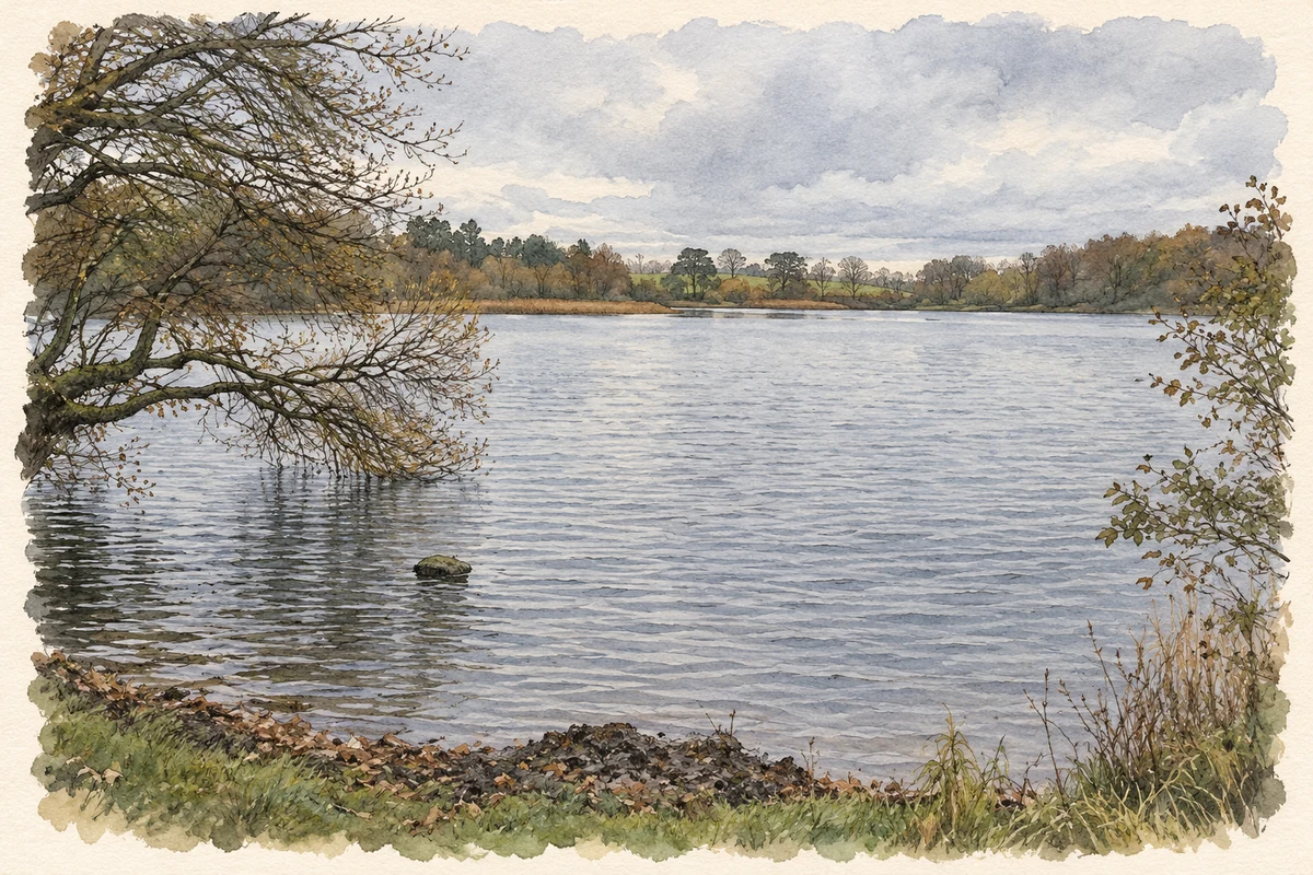
- Enagh Lough, near Strathfoyle illustration: based on a Enagh Lough by Kenneth Allen. AI-assisted watercolour and ink adaptation; cream paper margins added, incidental clutter omitted and fine details simplified. Licence: CC BY-SA 2.0; adapted illustration distributed under the same licence.
Name record retrieved 2026-10-25 · Source record modified 2010-04-19. How this page was prepared.