 placenames
Sydenham
Suideanam
Sydenham’s place in east Belfast is closely connected with aviation and public recreation. Victoria Park transformed marshy ground into open space, while the airfield developed into a passenger airport and a new bridge improved links across the Connswater.
The name
A reliable full-name meaning has not been established here. The recorded Irish and English forms are given without an unsupported translation.
Recorded forms
- Suideanam · Irish · main form · validated name
- Sydenham · English · main form
Place & story
From airfield to passenger airport
Sydenham’s airfield served military aviation during the Second World War and later supported Short Brothers’ aircraft operations. The airport’s own history identifies 1983 as the beginning of its modern passenger role, under the name Belfast Harbour Airport. A new terminal opened in 2001, replacing the earlier facilities. RTÉ’s contemporary report records its opening on 3 June, when passengers arriving from Gatwick became the first to use the £21 million building. Aviation consequently remained part of Sydenham’s working landscape through several changes of purpose. [2] [3]
Victoria Park’s long beginning
A public park near the Connswater was proposed by Belfast’s Harbour Commissioners in 1854, but marshy ground and difficult access delayed the project for decades. Victoria Park finally opened in 1906 after drainage and landscaping. Charles McKimm, also associated with the Botanic Gardens’ Tropical Ravine, designed its landscape. An outdoor swimming pool followed, and the central ground supported football, bowling and cricket. The lake and surrounding paths gave this industrial part of east Belfast a substantial place for recreation. [4]
A bridge chosen by public vote
The Sam Thompson Bridge links Victoria Park with Airport Road and the Harbour Estate. Installed in October 2013 and opened on 4 April 2014, it formed part of the first phase of the Connswater Community Greenway. A public naming campaign selected the playwright Sam Thompson. Project records distinguish the bridge’s installation from its later opening and place it alongside wider improvements to Victoria and Orangefield parks. The crossing made the park more accessible to walkers and cyclists from the surrounding working and residential areas. [5]
Geographic information
- Place type
- Population centre
- County
- Down
- Barony
- Castlereagh Lower
- Civil parish
- Holywood
- Coordinates
- 54.59558, -5.88008 (approximate)
- Logainm ID
- 130163 ↗
Sources & further reading
- Logainm.ie — Sydenham. Place names and geographic record, licensed under CC BY 4.0.
- Our journey so far: Belfast City Airport · George Best Belfast City Airport
- New terminal opens at Belfast City Airport, 3 June 2001 · RTÉ News
- Victoria Park: history · Belfast City Council
- Connswater Community Greenway evaluation report 2013–14: phase one achievements · Connswater Community Greenway and EastSide Partnership
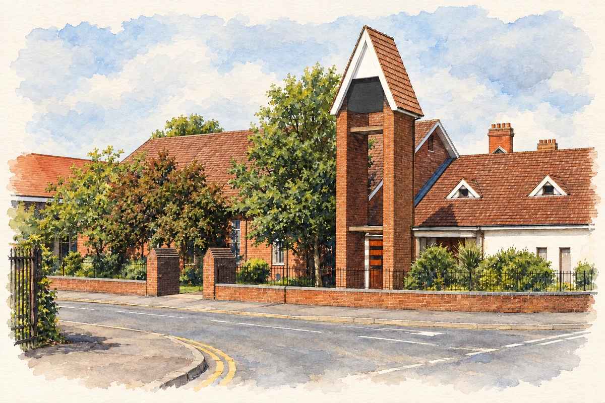
- Sydenham Methodist Church, Belfast, County Down illustration: based on a Sydenham Methodist church, Belfast by Albert Bridge. AI-assisted watercolour and ink adaptation; cream paper margins added, incidental clutter omitted and fine details simplified. Licence: CC BY-SA 2.0.
Name record retrieved 2026-10-25 · Source record modified 2019-10-08. How this page was prepared.