These Irish name elements are associated with this record in the Logainm glossary.
An element’s translation is a clue, rather than a complete explanation of the name. Its form and meaning depend on local history and the full Irish name.
Recorded forms
Ceann an Droichid· Irish · main form · validated name
Bridge End· English · main form
Bridgend· English · main form · local name
Place & story
A house linked with the mills
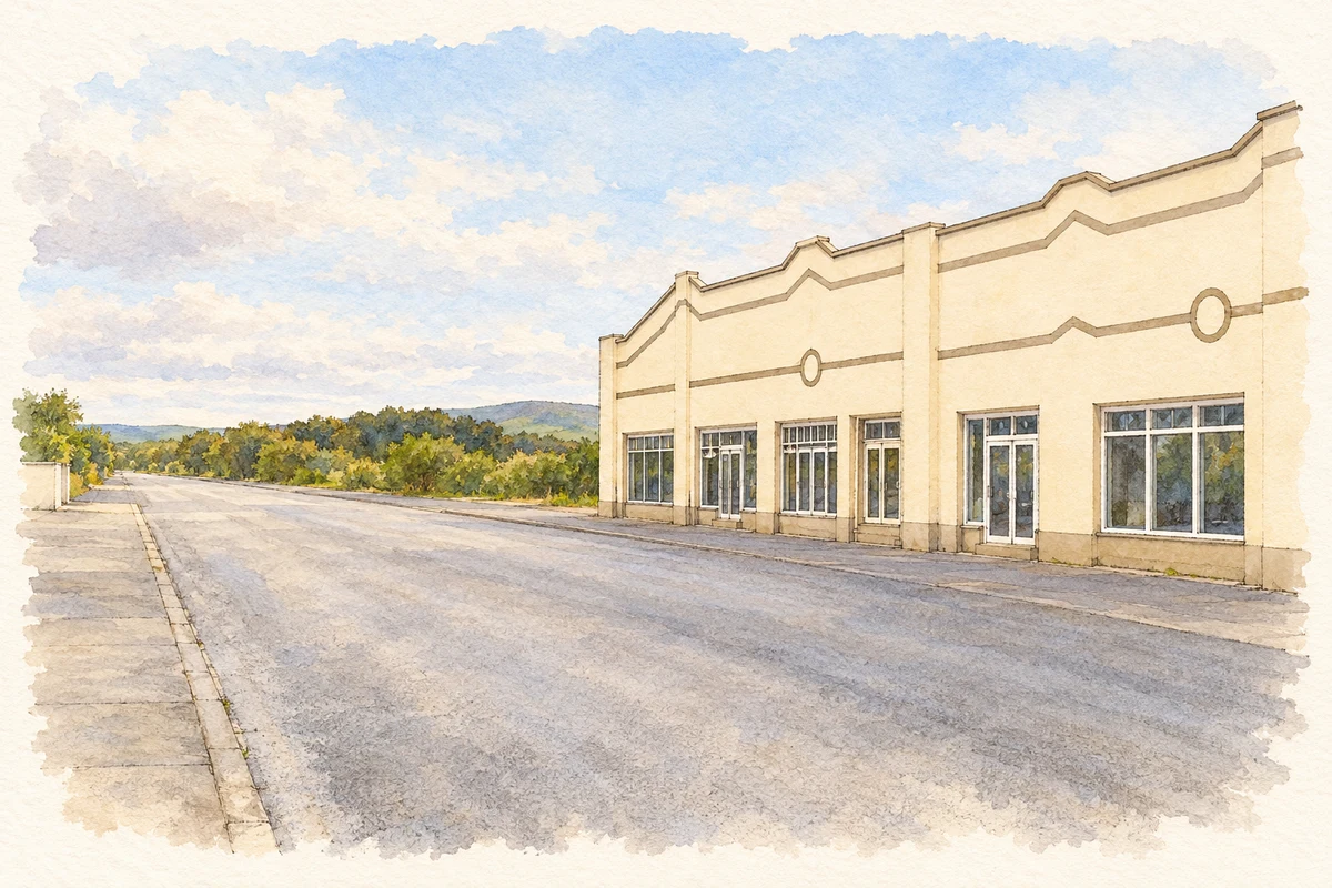
A terraced house at Bunnamayne preserves part of Bridge End’s nineteenth-century streetscape. The architectural inventory dates it to about 1860 and records timber sash windows, a slate roof and brickwork beneath the eaves. It appears to replace an earlier terrace shown on the first Ordnance Survey map. The inventory suggests that it originally served the extensive mill complex, a probable association rather than a documented occupation history for every resident.[2]
Water power at Lisfannan
A nearby former flax mill at Lisfannan retains a metal wheel, traces of its watercourse and internal machinery. The two-storey rubble building has brick surrounds to its openings and timber shutters. The architectural inventory assigns it a late eighteenth-century date and records it on the first Ordnance Survey map of about 1837. Its millrace continued downhill towards another mill pond, showing how the use of water extended across connected working sites rather than stopping at one building.[3]
The royal stronghold on Greenan Mountain
Grianán of Aileach, outside the village on Greenan Mountain, became a symbol of Cenél nÉogain royal authority. The Office of Public Works describes Muirchertach Ua Briain’s northern campaign in 1101 and his dismantling of the fortress, citing the Annals of the Four Masters. The circular stone enclosure stands within earlier earthen defences, making the hill a landscape of successive fortifications. Its views across Inishowen and towards Derry help explain its importance beyond the immediate locality.[4]
Folklore & tradition
The Dagda and Aodh
The OPW’s account also identifies a distinct mythological tradition: the Dagda had the fort built as a burial place after his son Aodh was killed. It relates this story to the Metrical Dindshenchas, the medieval collection of placename lore. This is a literary explanation attached to nearby Grianán of Aileach, rather than an archaeological account of the surviving masonry or a claim that the mythical figures lived in Bridge End.[4]
Both counts use the 2016 settlement boundary, allowing like-for-like comparison. CSO supplies the 2022 count on this older boundary for comparison only. The official 2022 Built Up Area has different boundaries.
View population figures
Bridge End — Census 2016 settlement footprint — census population
Bridge End, Donegal — Census town, CSO 2006 report
2002–2006: census town
334people · 2006
These are the historical areas published in the 2006 census report. Boundaries may differ between censuses and from modern settlements. Legal towns, environs and suburbs are shown separately; none has been combined into a modern settlement total.
View population figures
Bridge End, Donegal — Census town, CSO 2006 report — census population
These figures use different area definitions. Read the boundary note before comparing them.
Bridge End, Donegal
Published census settlement populations
454people · 2016
Settlement boundaries changed during this period. Differences may reflect boundary changes as well as population change. Where a 2011 legal-town-and-environs count is shown, it has not been recalculated onto the 2016 settlement boundary.
 placenames