Irvinestown's earlier name survives in historical records, while its festival and sculpture gardens show how communities create new forms of remembrance.
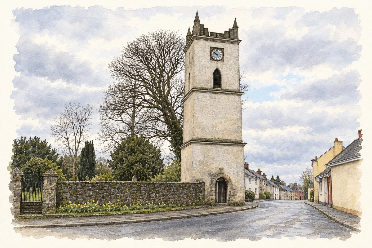
Illustration, Clock Tower, Irvinestown
⊕Recorded locationIrvinestown54.46983° N · 7.62979° WInteractive map supplied by OpenStreetMap.
These Irish name elements are associated with this record in the Logainm glossary.
An element’s translation is a clue, rather than a complete explanation of the name. Its form and meaning depend on local history and the full Irish name.
Recorded forms
Baile an Irbhinigh· Irish · main form · validated name
Irvinestown· English · main form
Place & story
Irvinestown and Lowtherstown in old records
Samuel Lewis's 1837 gazetteer lists the town under both Irvinestown and Lowtherstown. It places it in Derryvullen parish and Lurg barony, on the road from Enniskillen to Kesh. The account describes a street of 217 houses, a Wednesday market and monthly fairs. It also records the parish church as a recent building, erected in 1831. For family-history research, the paired names are useful search terms: an older reference to Lowtherstown may concern the same settlement, rather than a different town elsewhere in Fermanagh.[2]
Folklore & tradition
How the Lady of the Lake became a local story
The Lady of the Lake festival began in 1978. In a 2026 interview, organiser Joe Mahon recalled that his father developed the idea with local supporters after trying to encourage more tourism in Fermanagh. He also credited his father with inventing the festival's flower-carrying lady, imagined walking between the islands of Lough Erne as a sign of good times ahead. This first-hand family account gives the familiar story a modern origin. It should therefore be presented as a festival tradition, rather than confidently assigned to ancient local folklore.[3]
Saints carved from Irish oak
The Garden of Celtic Saints beside Sacred Heart Church contains wooden figures carved by Lithuanian sculptor Jonas Raiskas between 2007 and 2011. The saints and scholars include Patrick, Brigid, Columbanus, Gall and Molaise. Nearby, a separate Famine memorial includes further sculptures by the same artist. These are contemporary works of commemoration, distinct from medieval religious carvings on the islands of Lough Erne. Together with the festival, they show how the town has added new artistic forms to its account of local and wider Irish history.[4]
Both censuses use the same 2015 settlement boundary. These exact counts cover usual residents in the settlement, rather than local government districts or historic counties. Other NISRA tables may use approximate counts.
View population figures
IRVINESTOWN — Settlement 2015 (N11000349) — census population
These are the town figures printed in the historical census reports, separate from the surrounding rural district and modern settlement. Some historical towns had no fixed boundary; a consistent footprint across years is not assumed.
View population figures
Irvinestown — historical census town — census population
The census used a grid rectangle around the built-up area, rather than today’s settlement boundary. The 1981 figures are as enumerated, without adjustment for non-enumeration. These counts remain separate from later settlement totals.
View population figures
Irvinestown — census rectangle H220570 to H250590 — census population
The published 2001 KS01 settlement count uses an earlier geography and disclosure-control methods. It is not rebased to the 2015 settlement used for 2011 and 2021. The geographic matching file can contain a different 2001 count; the figure shown here comes from KS01.
View population figures
Irvinestown — KS01 Settlement (2005 geography) — census population
Clock Tower, Irvinestown illustration: based on a Clock Tower, Irvinestown by Kenneth Allen. AI-assisted watercolour and ink adaptation; cream paper margins added, incidental clutter omitted and fine details simplified. Licence: CC BY-SA 2.0.
 placenames