 placenames
Glencar
Gleann an Chairthe
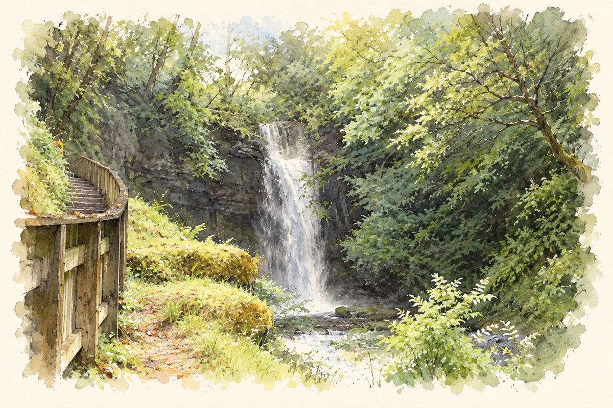
Glencar’s familiar waterfall belongs to a glacial landscape that also supported a less visible industrial working life.
The name
These Irish name elements are associated with this record in the Logainm glossary.
An element’s translation is a clue, rather than a complete explanation of the name. Its form and meaning depend on local history and the full Irish name.
Recorded forms
- Gleann an Chairthe · Irish · main form · validated name
- Glencar · English · main form
Place & story
Ice, limestone and falling water
Glencar’s steep-sided valley was scoured by glacier ice. Geological Survey Ireland places the waterfall above alternating beds of limestone and shale, rocks formed roughly 330 million years ago. The waterfall itself is much younger, probably occupying its present position only since ice retreated about 14,000 years ago. Lime-rich water has deposited a porous tufa curtain across part of the cliff, encrusting some of the vegetation. The site thus preserves both the deep history of its bedrock and changes continuing along the wet rock face. [2]
A mineral industry above the valley
On the Sligo side of the surrounding mountains, Glencarbury’s barite deposit brought another use for this landscape. The geological site report records extraction between 1894 and 1979, through both underground workings and open pits. Barite supplied the paint industry and added weight to fluids used in oil drilling. Mine buildings and machinery survived after closure. This history belongs to the wider mountain district, rather than to a mine within Glencar village itself. [3]
People behind the workings
Gerry Foley’s book The Benbulben Barytes Miners drew attention to workers whose lives linked Glencar with the mines. Fiona Heavey’s 2017 report identifies Glencar residents Dominic Branley and Desmond Kiernan among those whose experiences appear in the book. Their accounts cover the journey to work, the working day and social life. Water from Glencar also served the industry’s washing plant. These recollections add a working community to a landscape more often described through its scenery. [4]
Geographic information
- Place type
- Population centre
- County
- Leitrim
- Barony
- Rosclogher
- Civil parish
- Killasnet
- Coordinates
- 54.33515, -8.33825 (approximate)
- Logainm ID
- 131532 ↗
Sources & further reading
- Logainm.ie — Glencar. Place names and geographic record, licensed under CC BY 4.0.
- Glencar Waterfall: Leitrim County Geological Site Report LM015 · Parkes and colleagues, Geological Survey Ireland, 2020
- Glencarbury Barite Mine: Sligo County Geological Site Report SO008 · Geological Survey Ireland
- The forgotten story of The Barytes Miners, 20 January 2017 · Fiona Heavey, Leitrim Observer
- Glencar Waterfall, County Leitrim illustration: based on a Glencar Waterfall by Bob Embleton. AI-assisted watercolour and ink adaptation; cream paper margins added, incidental clutter omitted and fine details simplified. Licence: CC BY-SA 2.0; adapted illustration distributed under the same licence.
Name record retrieved 2026-10-25 · Source record modified 2025-01-10. How this page was prepared.