Townland

Ballinard

Baile an Aird

The original 1851 census records a sharp fall in population and occupied houses in this Tullagh townland near Baltimore.
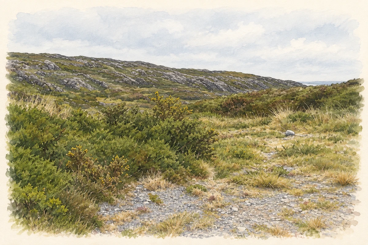
Watercolour and fine ink illustration of Rocky grazing land at Ballinard near Baltimore, County Cork, as photographed in May 2011.
Illustration, Rocky grazing land at Ballinard near Baltimore, County Cork, as photographed in May 2011
Recorded locationBallinard51.48796° N · 9.31720° WInteractive map supplied by OpenStreetMap.
Recorded place location · Logainm.ie

The name

These Irish name elements are associated with this record in the Logainm glossary.

An element’s translation is a clue, rather than a complete explanation of the name. Its form and meaning depend on local history and the full Irish name.

Recorded forms

  • Baile an Aird · Irish · main form · validated name
  • Ballinard · English · main form

Place & story

Two census years

Ballinard’s entry in the 1851 census lists 110 residents in 1841 and 44 in 1851. The earlier population comprised 46 men and 64 women; ten years later the totals were 18 and 26. The number of inhabited houses fell from 23 to 8, with one further house recorded as uninhabited in 1851. The table places Ballinard under Tullagh parish in the east division of West Carbery, alongside Ballylinchy and Ballymacrown. Its figures record how much this small community contracted over the decade. [2]

Geographic information

Place type
Townland
County
Cork
Civil parish
Tullagh
Within
Tullagh
Coordinates
51.48796, -9.31720
Mapped area
0.94 km²
Logainm ID
13318 ↗

People & family history

Census figures refer to the matched historical census area for each year. Boundaries and spellings can change over time.

1901 census

40People recorded
6Households recorded

Most frequent surnames in this year’s matched records

  • Driscoll 18
  • Sheehy 14
  • Leahy 8
Explore the 1901 records ↗

1926 census

24People recorded
5Households recorded

Most frequent surnames in this year’s matched records

  • Sheehy 14
  • Driscoll 8
  • Dennis 2
Explore the 1926 records ↗

Sources & further reading

  1. Logainm.ie — Ballinard. Place names and geographic record, licensed under CC BY 4.0.
  2. Census of Ireland 1851: Cork West Riding, Part I, printed 1852, p.141 · Census of Ireland; printed by Alexander Thom for Her Majesty’s Stationery Office
  3. Boundary geometry retains its source attribution and licence in the downloadable geographic record. Map tiles © OpenStreetMap contributors.
  4. Rocky grazing land at Ballinard near Baltimore, County Cork, as photographed in May 2011 illustration: based on a Rocky terrain - Ballinard Townland by Mac McCarron. AI-assisted watercolour and ink adaptation; cream paper margins added, incidental clutter omitted and fine details simplified. Licence: CC BY-SA 2.0.

Name record retrieved 2026-10-25 · Source record modified 2025-01-10. How this page was prepared.