 placenames
Ferrybank
Port an Chalaidh
Ferrybank’s north-bank history includes wooden shipbuilding, a church completed in stages and a school founded by sisters arriving by steamship.
The name
These Irish name elements are associated with this record in the Logainm glossary.
An element’s translation is a clue, rather than a complete explanation of the name. Its form and meaning depend on local history and the full Irish name.
Recorded forms
- Port an Chalaidh · Irish · main form · validated name
- Ferrybank · English · main form
Place & story
White’s shipyard
William White opened a shipyard at Ferrybank around 1820, extending a family business that had begun with groceries and imported goods. Waterford City Library’s account records more than sixty wooden sailing ships built between 1820 and 1870. Skilled workers were recruited locally, while the yard’s reputation attracted orders from shipowners across the Irish Sea. The enterprise linked Ferrybank’s waterfront labour with a wider trading network. [2]
The Sacred Heart church in two stages
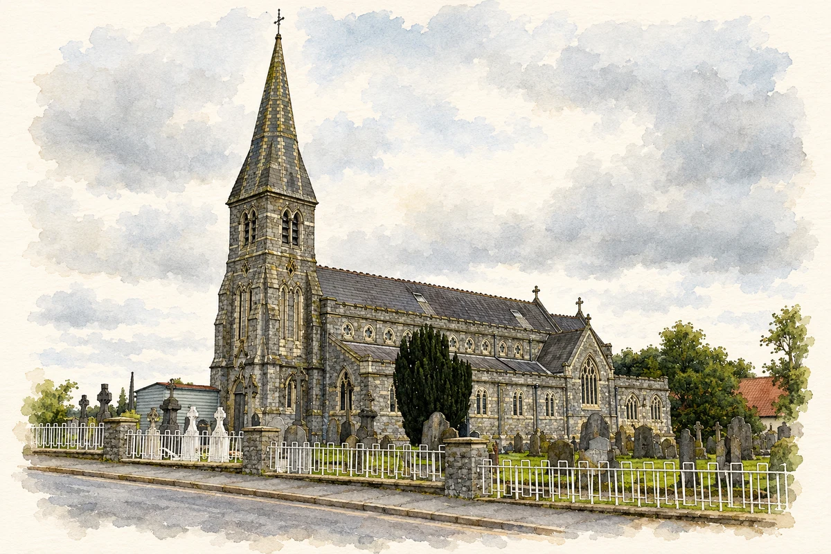
The Sacred Heart church developed in two widely separated building campaigns. Pugin and Ashlin designed a new church in 1866–67, but initially only the tower was erected, its walls extending down to form a Barron family vault. The older body of the church remained until demolition in 1903. Ashlin and Coleman then completed the new body, with its foundation stone laid in April 1904 and completion recorded in 1906. [3]
The sisters who arrived on the Reginald
Nine Sacred Heart of Mary sisters arrived in Ferrybank aboard the steamship Reginald on 16 September 1879. They took over Saint Brigid’s school in January 1880, when 167 children were enrolled. Our Lady of Good Counsel school’s history records that its predecessor had nearly been destroyed by fire while under construction. A new school replaced Saint Brigid’s in 1959, and the sisters handed its operation to the parish in 2002. [4]
An archive-based mural on Dock Road
In April 2026, Waterford City and County Council announced a Dock Road mural commission for artist Mariana Duarte Santos. The project covered a 150-metre wall stretching from Plunkett Station and drew on council archive maps, photographs, newspapers and census material. Twenty-nine scenes were planned to represent Ferrybank and Sallypark, including the port communities whose work shaped the north bank. The commission brought historical records into the design of a large public artwork. [5]
Geographic information
- Place type
- Population centre
- County
- Waterford
- Barony
- Kilculliheen
- Civil parish
- Kilculliheen
- Coordinates
- 52.26543, -7.10641 (approximate)
- Logainm ID
- 133821 ↗
Sources & further reading
- Logainm.ie — Ferrybank. Place names and geographic record, licensed under CC BY 4.0.
- White’s Shipyard · Waterford City Library, Ask About Ireland
- Ferrybank, Church of the Sacred Heart: works record 580 · Irish Architectural Archive, Dictionary of Irish Architects
- The Story of Our School · Our Lady of Good Counsel Girls’ National School
- International artist brings history of Ferrybank to life · Waterford City and County Council, 21 April 2026
- Sacred Heart Church, Ferrybank, Waterford illustration: based on a Church in Waterford by Pam Brophy. AI-assisted watercolour and ink adaptation; cream paper margins added, incidental clutter omitted and fine details simplified. Licence: CC BY-SA 2.0.
Name record retrieved 2026-10-25 · Source record modified 2025-05-07. How this page was prepared.