Cloonfad's history includes a dispute over late-night dancing, the development work of James Horan before his move to Knock, and a community project opening paths through the surrounding countryside.
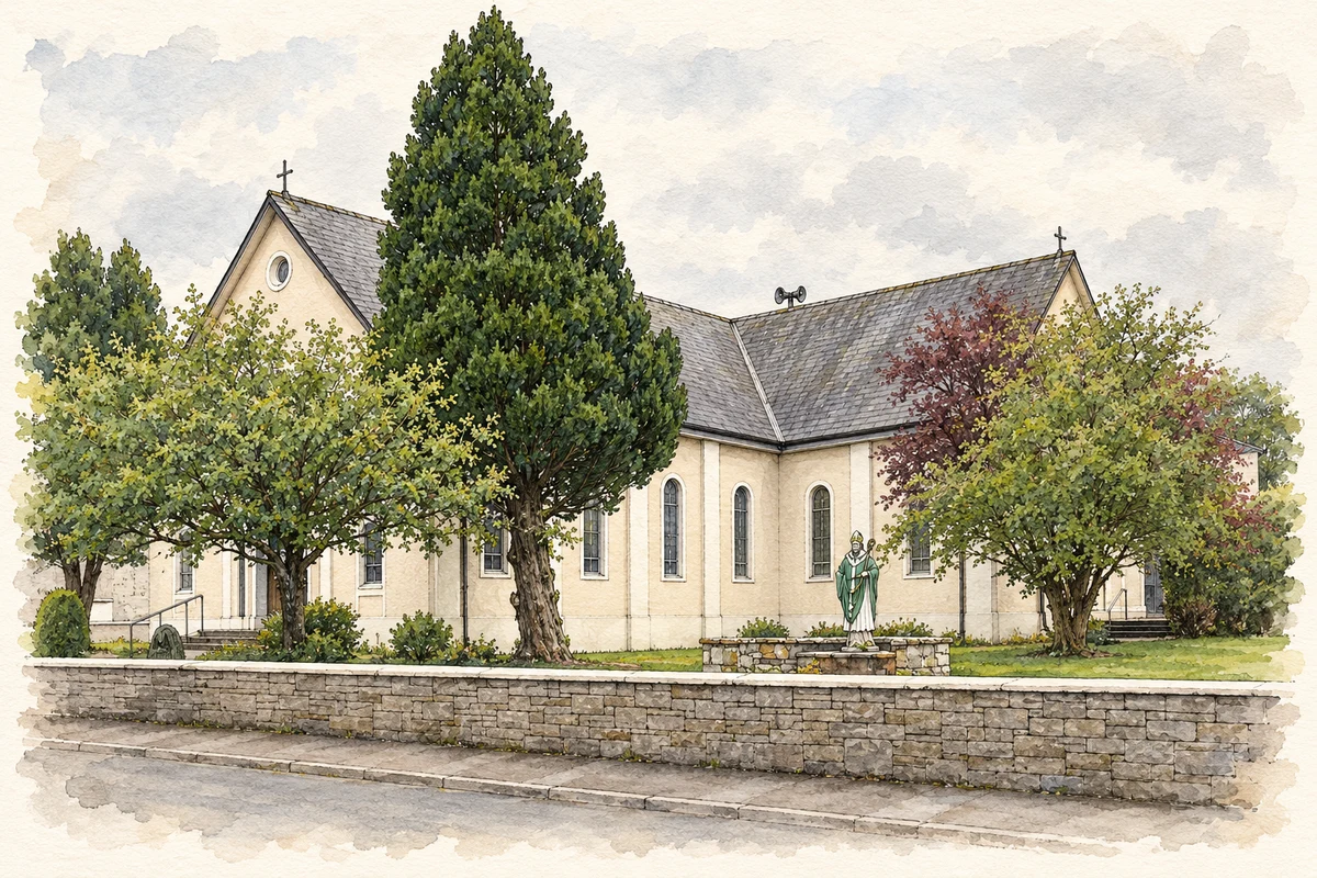
Illustration, St Patrick Church, Cloonfad
⊕Recorded locationCloonfad53.68701° N · 8.75003° WInteractive map supplied by OpenStreetMap.
These Irish name elements are associated with this record in the Logainm glossary.
An element’s translation is a clue, rather than a complete explanation of the name. Its form and meaning depend on local history and the full Irish name.
Recorded forms
Cluain Fada· Irish · main form · validated name
Cloonfad· English · main form
Place & story
When dancing reached the district court
A Roscommon Herald report from 26 September 1936, preserved in the parish magazine, describes applications to renew licences for two Cloonfad dance halls. Martin Gannon and John Fitzmaurice were the proprietors involved. The parish priest sought restrictions, and the court heard evidence about the late hours of the dances. The district justice allowed each hall four dances running until two in the morning, with shorter hours for the usual Sunday and holiday dances. Admission was restricted to people aged eighteen or over. The proceedings give a vivid glimpse of the village's social life and the negotiations surrounding public entertainment.[2]
People & connections
James Horan before Knock
James Horan moved to Cloonfad in 1959. During his ministry he secured funding for a new school and road improvements and promoted tree planting intended to benefit small farmers. He transferred to Knock in 1963, where his later work on the shrine and airport made him nationally known. His Cloonfad years form part of a longer career in which parish work included practical development projects. The initiatives here preceded the much larger campaigns associated with his later life in Mayo.[3]
Paths, a cottage and a sweat house
Cloonfad Development Association established the scenic walks in 2005. The routes use grassy tracks, bog paths and old boreens through farmland, woodland and the Slieve Dart landscape. At Derrylahan, a stone cottage used as a resource centre retains a flagstone floor, an open fireplace and bog-oak ceiling beams. A restored sweat house nearby illustrates an older practice of heating a small stone structure with a fire before people entered to sweat. These modest buildings preserve aspects of domestic life alongside the paths that connected the district.[4][5]
Both counts use the 2016 settlement boundary, allowing like-for-like comparison. CSO supplies the 2022 count on this older boundary for comparison only. The official 2022 Built Up Area has different boundaries.
View population figures
Cloonfad — Census 2016 settlement footprint — census population
Cloonfad, Roscommon — Census town, CSO 2006 report
2002–2006: census town
209people · 2006
These are the historical areas published in the 2006 census report. Boundaries may differ between censuses and from modern settlements. Legal towns, environs and suburbs are shown separately; none has been combined into a modern settlement total.
View population figures
Cloonfad, Roscommon — Census town, CSO 2006 report — census population
These figures use different area definitions. Read the boundary note before comparing them.
Cloonfad, Roscommon
Published census settlement populations
308people · 2016
Settlement boundaries changed during this period. Differences may reflect boundary changes as well as population change. Where a 2011 legal-town-and-environs count is shown, it has not been recalculated onto the 2016 settlement boundary.
St Patrick Church, Cloonfad illustration: based on a St Patrick's church, Cloonfad by David Purchase. AI-assisted watercolour and ink adaptation; cream paper margins added, incidental clutter omitted and fine details simplified. Licence: CC BY-SA 2.0.
 placenames