 placenames
Mountfield
Achadh Ard
Mountfield’s history joins nineteenth-century road and church building with an unusual geological exposure and an early place in Tyrone women’s football.
The name
These Irish name elements are associated with this record in the Logainm glossary.
An element’s translation is a clue, rather than a complete explanation of the name. Its form and meaning depend on local history and the full Irish name.
Recorded forms
- Achadh Ard · Irish · main form · validated name
- Mountfield · English · main form
Place & story
McMahon’s village and the spired church
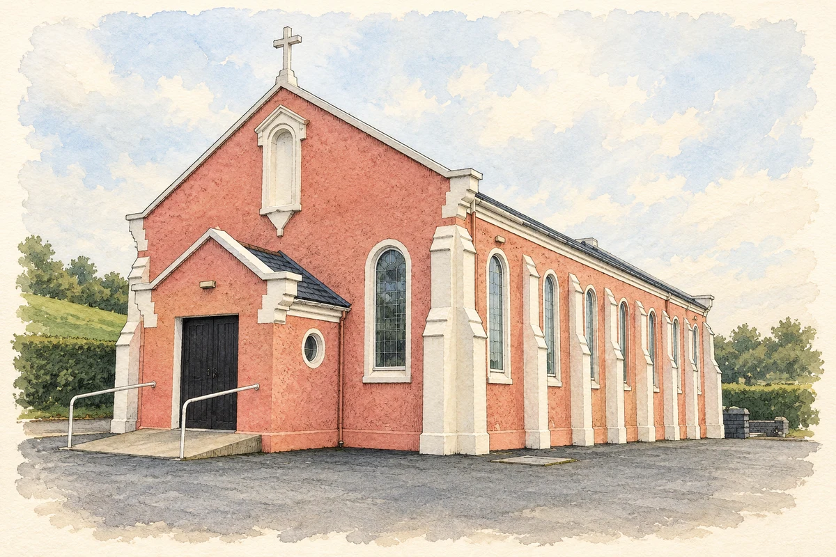
In 1837 Samuel Lewis described Sir William McMahon's efforts to establish a town at Mountfield and the opening of a new road from Omagh towards Belfast. The church had been built in 1826 with Board of First Fruits funding and stood on the hillside with a tall spire. Lady McMahon supported two local schools. His account connects the village's growth with estate patronage, improved communications and the creation of church and educational institutions. [2]
The old quarry’s geological boundary
Mountfield Old Quarry exposes the Omagh Fault, a major boundary at the southern edge of the Sperrin Mountains' Dalradian rocks. The geological conservation survey identifies it as a place where the relationship between altered Dalradian strata and the Tyrone Volcanic Group can be studied. The quarry formerly supplied aggregate. Its significance therefore extends beyond the material extracted: the abandoned workings reveal a geological junction that would otherwise be more difficult to examine. [3]
Women’s football before formal leagues
Mountfield hosted a women's football tournament during its sports day in 1968, with teams from Mountfield, Tattysallagh and Greencastle. The LGFA history also recalls a Mountfield team training weekly and playing about ten matches during the summer of 1974, wearing the men's purple and yellow jerseys. The account describes an unbeaten season. These locally organised matches show women sustaining Gaelic football through sports days and seasonal teams before more consistent structures developed. [4]
Geographic information
- Place type
- Population centre
- County
- Tyrone
- Barony
- Strabane Upper
- Civil parish
- Cappagh
- Coordinates
- 54.63821, -7.16359 (approximate)
- Logainm ID
- 135096 ↗
Sources & further reading
- Logainm.ie — Mountfield. Place names and geographic record, licensed under CC BY 4.0.
- Mount-Field, A Topographical Dictionary of Ireland (1837) · Samuel Lewis; historical text transcribed by Library Ireland
- Mountfield Old Quarry: Earth Science Conservation Review, site 140 · National Museums Northern Ireland / Earth Science Conservation Review
- Tyrone: history of ladies’ Gaelic football · Ladies Gaelic Football Association
- Corpus Christi Church, Mountfield, County Tyrone illustration: based on a Mountfield RC Church by Kenneth Allen. AI-assisted watercolour and ink adaptation; cream paper margins added, incidental clutter omitted and fine details simplified. Licence: CC BY-SA 2.0.

Name record retrieved 2026-10-25 · Source record modified 2015-11-11. How this page was prepared.