 placenames
Aldergrove
An Garrán Fearnóige
Aldergrove’s older parish history sits alongside the much larger military and civilian airfields that made its name widely known.
The name
These Irish name elements are associated with this record in the Logainm glossary.
An element’s translation is a clue, rather than a complete explanation of the name. Its form and meaning depend on local history and the full Irish name.
Recorded forms
- An Garrán Fearnóige · Irish · main form · validated name
- Aldergrove · English · main form
Place & story
Saint James’s and an older church furnishing
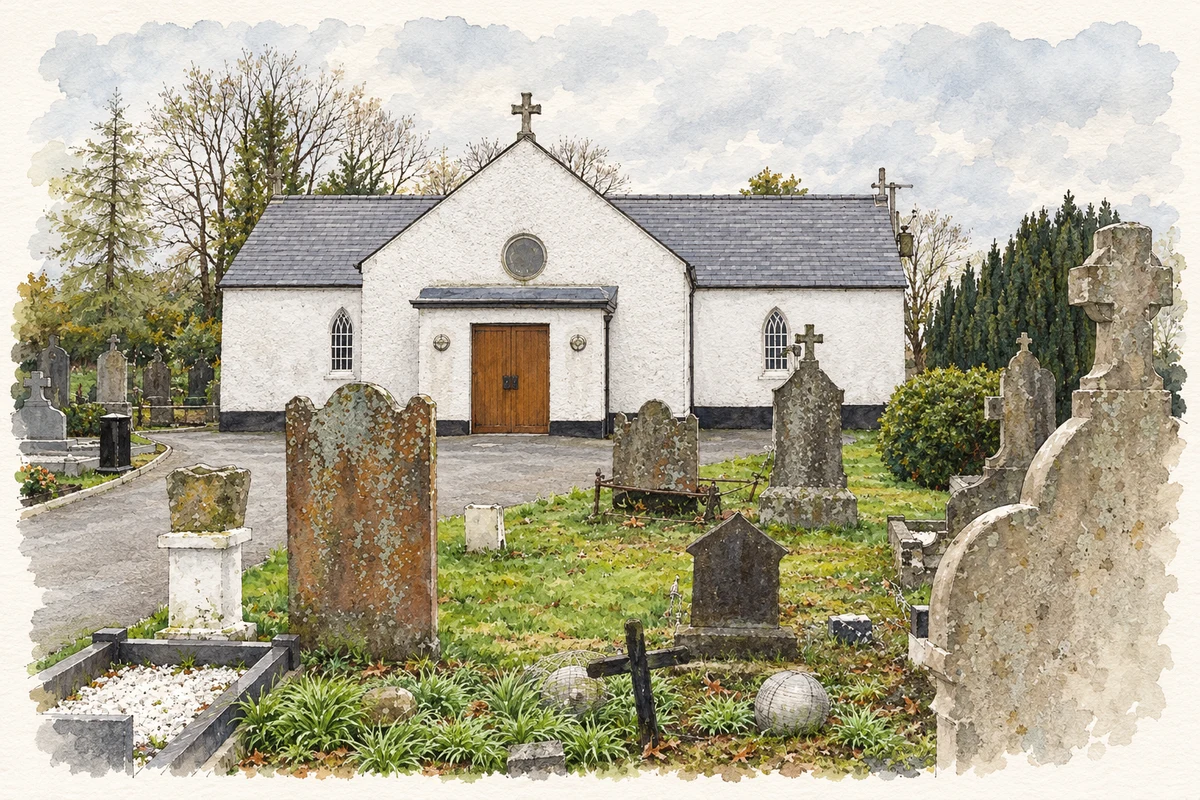
Saint James’s Catholic Church at Aldergrove developed from a small nineteenth-century chapel associated with Father Crangle and later enlarged under Father MacMullan. James O’Laverty’s parish history, reproduced by Glenavy History, records a holy-water stoup transferred here from the old church at Templepatrick. It also records MacMullan’s burial before the altar. These details connect the village church with earlier places of worship and local clergy, preserving a religious history that predates Aldergrove’s association with aviation. [2]
The military flying station
The Royal Air Force dates Aldergrove’s official opening to May 1918, followed by a period of limited use before it became fully operational in May 1925. It received the name RAF Aldergrove in January 1936. During the Second World War it served Coastal Command, with long-range aircraft flying anti-submarine patrols to protect Atlantic shipping. In September 2009, responsibility passed to Joint Helicopter Command. The airfield’s changing role therefore spans early military aviation, wartime maritime defence and later helicopter operations. [3]
A civilian terminal already exceeding its design capacity
A parliamentary answer in December 1974 described the civilian airport terminal completed in 1963 as designed for 900,000 passengers annually. Recorded traffic had already exceeded that level in 1970, reaching 1,117,000 passengers, and rose to 1,314,000 in 1973. These contemporary figures document the rapid growth of civil aviation at Aldergrove after the new terminal opened. They also show how the locality’s name came to represent a transport facility serving a much wider region than the village itself. [4]
Geographic information
- Place type
- Population centre
- County
- Antrim
- Barony
- Massereene Lower
- Civil parish
- Killead
- Within
- Ballyquillin
- Coordinates
- 54.63743, -6.24970 (approximate)
- Logainm ID
- 135705 ↗
Sources & further reading
- Logainm.ie — Aldergrove. Place names and geographic record, licensed under CC BY 4.0.
- Saint James’s RC Church: historical extracts · Glenavy History, reproducing James O’Laverty’s Diocese of Down and Connor Ancient and Modern
- Aldergrove station history · Royal Air Force
- Aldergrove Airport: written parliamentary answer, 13 December 1974 · UK Parliament, Hansard
- Aldergrove Church of Ireland, County Antrim illustration: based on a Aldergrove Church of Ireland by Kenneth Allen. AI-assisted watercolour and ink adaptation; cream paper margins added, incidental clutter omitted and fine details simplified. Licence: CC BY-SA 2.0.
Name record retrieved 2026-10-25 · Source record modified 2021-05-26. How this page was prepared.