 placenames
Browns Bay
Bá an Bhrúnaigh
Browns Bay’s shore exposes a long geological history, while an early twentieth-century directory records its place in Islandmagee’s school network.
The name
These Irish name elements are associated with this record in the Logainm glossary.
An element’s translation is a clue, rather than a complete explanation of the name. Its form and meaning depend on local history and the full Irish name.
Recorded forms
- Bá an Bhrúnaigh · Irish · main form · validated name
- Browns Bay · English · main form
Place & story
An older landscape on the shore
The eastern shore of Browns Bay exposes reddish mudstones beside much younger white limestone. A major fault brings these different rocks together, with thin layers of greensand and other sedimentary rocks caught along the contact. The Earth Science Conservation Review explains that the mudstones formed in inland seas. Chalk containing large flints belongs to a later environment. Their juxtaposition makes the bay a compact place to study how geological layers and faults shape a coastline. [2]
Basalt and the history of surveying
On the western side, the review records a fifteen-metre section of material between basalt lava formations. Grey basalt passes through weathered purple and yellow layers into orange and red bauxite. Geological surveyors mapped the bay’s rocks in 1867, and later remapping in 1994 confirmed the earlier work’s accuracy. The review identifies the exposures as especially useful for teaching field-mapping principles: the coast preserves both a physical sequence and a history of scientific observation. [2]
The national school in 1910
The 1910 Ulster directory identifies Brown's Bay's national school within Islandmagee's educational network. Thomas Parke served as principal, while M. A. Parke taught manual work, giving names to two people serving the peninsula's children. [3]
Geographic information
- Place type
- Population centre
- County
- Antrim
- Barony
- Belfast Lower
- Civil parish
- Island Magee
- Coordinates
- 54.85398, -5.75752 (approximate)
- Logainm ID
- 135736 ↗
Sources & further reading
- Logainm.ie — Browns Bay. Place names and geographic record, licensed under CC BY 4.0.
- Brown’s Bay, Island Magee, Earth Science Conservation Review, site 1197 · Earth Science Conservation Review, National Museums Northern Ireland
- Islandmagee, Belfast and Ulster Towns Directory, 1910 · Belfast and Ulster Towns Directory, hosted by Library Ireland
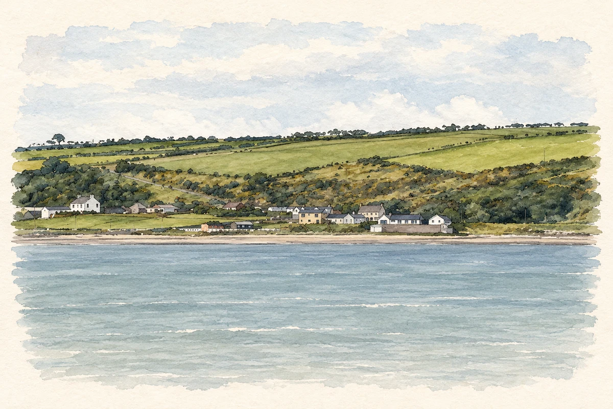
- Browns Bay, Islandmagee illustration: based on a Browns Bay, Islandmagee by Wilson Adams. AI-assisted watercolour and ink adaptation; cream paper margins added, incidental clutter omitted and fine details simplified. Licence: CC BY-SA 2.0.
Name record retrieved 2026-10-25 · Source record modified 2021-05-26. How this page was prepared.