 placenames
Cavehill
Binn Uamha
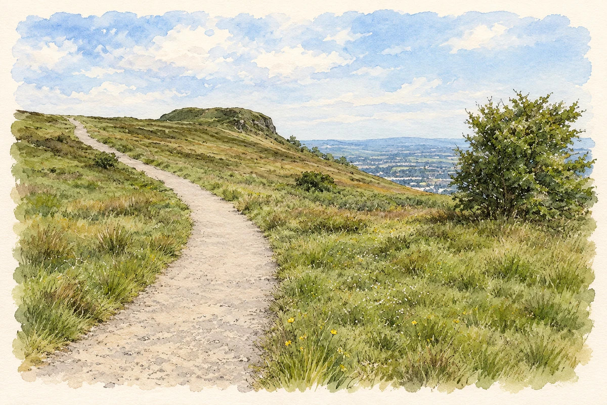
Cavehill rises above north Belfast, its caves and cliff-edge fort preserving traces of a much older landscape.
The name
These Irish name elements are associated with this record in the Logainm glossary.
An element’s translation is a clue, rather than a complete explanation of the name. Its form and meaning depend on local history and the full Irish name.
Recorded forms
- Binn Uamha · Irish · main form · validated name
- Cavehill · English · main form
- Cave Hill · English · main form · local name
Place & story
Names on the skyline
Patrick McKay traces Cave Hill to Benn Uamha, recorded in 1468, meaning the peak or cliff of the cave. An older name, Benn Matudáin, survives in Ben Madigan. McKay identifies Matudán as a ninth-century Ulster ruler and records Dún Matudáin as an earlier name for McArt’s Fort. [2]
McArt’s Fort and the country park
McArt’s Fort stands close to 368 metres above sea level. The surrounding country park also contains remains of a cairn, cashel and crannog. Belfast City Council suggests that the five caves which give the park its name may have originated as early iron mines; their purpose is not certain. Woodland, grassland, heath and moorland now share the hillside. [3]
Limestone for the ships
Quarrying added an industrial chapter to the hill. Belfast Hills Partnership records limestone extraction on its southern face from 1840 to 1896, begun by John Wallace. Much of the stone served as ships’ ballast. A horse-drawn gravity railway carried it towards the docks, and its route gave Limestone Road its name. [4]
Geographic information
- Place type
- Population centre
- County
- Antrim
- Barony
- Belfast Upper
- Civil parish
- Shankill
- Coordinates
- 54.64180, -5.95514 (approximate)
- Logainm ID
- 135745 ↗
Sources & further reading
- Logainm.ie — Cavehill. Place names and geographic record, licensed under CC BY 4.0.
- Some Belfast Place-Names, Nomina 23 · Patrick McKay
- Cave Hill Country Park · Belfast City Council
- History of Cave Hill · Belfast Hills Partnership
- McArt’s Fort on Cavehill illustration: based on a McArts fort, Cave Hill, Belfast by David Purchase. AI-assisted watercolour and ink adaptation; cream paper margins added, incidental clutter omitted and fine details simplified. Licence: CC BY-SA 2.0.
Name record retrieved 2026-10-25 · Source record modified 2021-05-26. How this page was prepared.