These Irish name elements are associated with this record in the Logainm glossary.
An element’s translation is a clue, rather than a complete explanation of the name. Its form and meaning depend on local history and the full Irish name.
Recorded forms
Cromghlinn· Irish · main form · validated name
Crumlin· English · main form
Place & story
People & connections
Rowley Heyland’s mills
Lewis dates the establishment of the large flour mills beside Crumlin to 1765 under Rowley Heyland. Government warehouses supported grain storage, and wheat cultivation expanded around the enterprise. By 1837 the concern belonged to Robert Macaulay and Son. Water from the Camlin drove the machinery, while the town acted as the buying and selling centre for several connected mills.[2][3]
Flour sent across the channel
The mills’ trade reached the Clyde and northern English ports. Lewis reports two thousand tons of flour and oatmeal sent to Liverpool and Manchester in 1833. A flax mill and domestic weaving supplied other employment, connecting Crumlin’s workers with manufacturers around Belfast. Grain processing, textile work and agricultural improvement linked the town to several markets at once.[2]
Glendaragh and the river walks
At one end of the town, Glendaragh’s grounds followed the river through a wooded glen. The heritage-gardens inventory records mature trees, river walks and a Cockle House above the waterfall. It also notes the interruption of the walled garden by the railway in 1860. The setting preserves a different relationship with the river from the mills: water also shaped an ornamental landscape.[2][4]
The wider parish’s fields and schools
The surrounding Camlin parish combined arable land, pasture and limestone quarrying. Lewis describes a school built and supported by Colonel Pakenham, with occasional provision of clothes for pupils, alongside parochial and fee-paying schools. These institutions served a rural community beyond the town’s houses and linked estate patronage with local education.[3]
Both censuses use the same 2015 settlement boundary. These exact counts cover usual residents in the settlement, rather than local government districts or historic counties. Other NISRA tables may use approximate counts.
View population figures
CRUMLIN — Settlement 2015 (N11000003) — census population
These are the town figures printed in the historical census reports, separate from the surrounding rural district and modern settlement. Some historical towns had no fixed boundary; a consistent footprint across years is not assumed.
View population figures
Crumlin — historical census town — census population
The census used a grid rectangle around the built-up area, rather than today’s settlement boundary. The 1981 figures are as enumerated, without adjustment for non-enumeration. These counts remain separate from later settlement totals.
View population figures
Crumlin — census rectangle J140750 to J160770 — census population
The published 2001 KS01 settlement count uses an earlier geography and disclosure-control methods. It is not rebased to the 2015 settlement used for 2011 and 2021. The geographic matching file can contain a different 2001 count; the figure shown here comes from KS01.
View population figures
Crumlin — KS01 Settlement (2005 geography) — census population
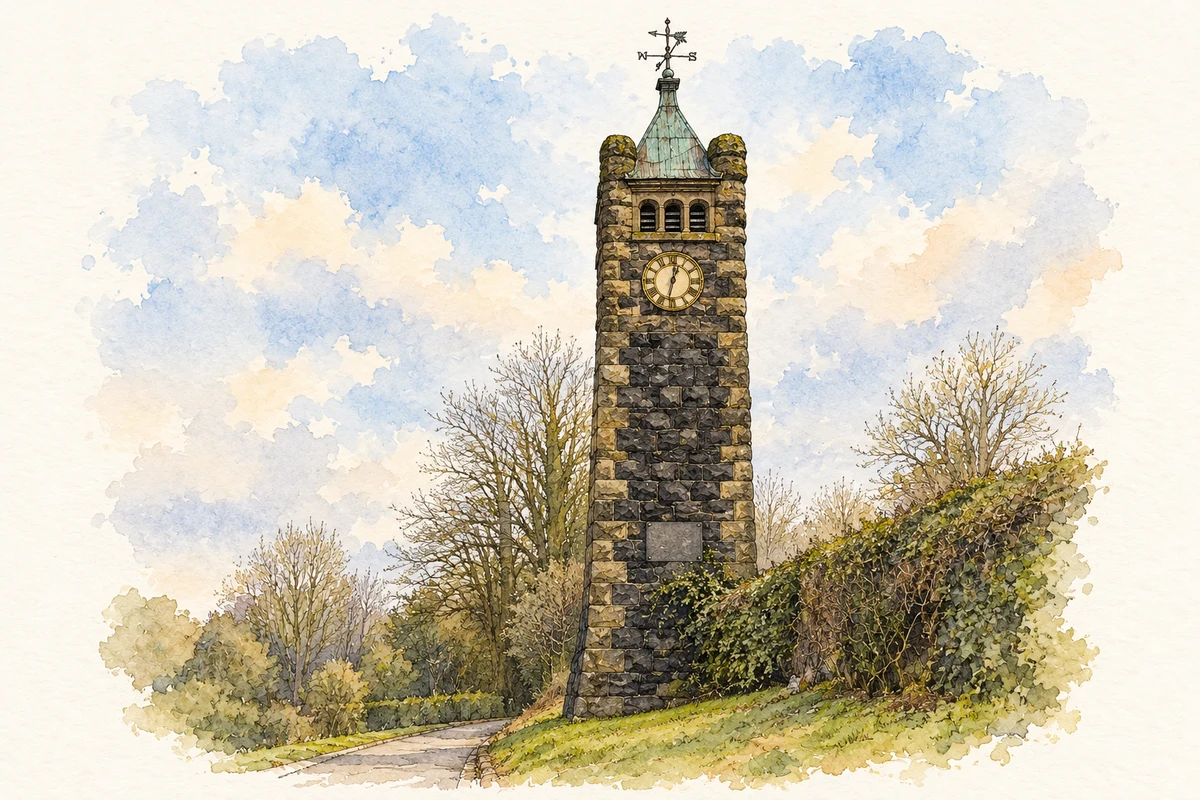
Pakenham Memorial clock tower, Crumlin, County Antrim illustration: based on a Stone Clock Tower, Crumlin by Kenneth Allen. AI-assisted watercolour and ink adaptation; cream paper margins added, incidental clutter omitted and fine details simplified. Licence: CC BY-SA 2.0.
 placenames