These Irish name elements are associated with this record in the Logainm glossary.
An element’s translation is a clue, rather than a complete explanation of the name. Its form and meaning depend on local history and the full Irish name.
Recorded forms
Coill na Baice· Irish · main form · validated name
Cullybackey· English · main form
Place & story
Arthur Cottage and an emigrant father
Arthur Cottage near Cullybackey is the ancestral home associated with Chester Alan Arthur, the twenty-first president of the United States. The connection runs through his father, William Arthur; the president himself was born in Vermont. The restored cottage presents the family's rural life before emigration. Its modest scale and domestic hearth provide a different setting from the later presidential story. The distinction between an ancestral home and a birthplace is essential when tracing this connection, and is explicitly made by the borough's tourism service.[2]
People & connections
Ella Young’s beginnings near Cullybackey
Writer Ella Young was born in the nearby townland of Fenagh in 1867. Cullybackey and District Historical Society records her parents' marriage in the local Reformed Presbyterian church and the family's later moves, eventually to Dublin. Young became involved in Irish cultural and political movements before travelling to the United States, where she lectured on Celtic mythology at Berkeley. Her later home was in California. Her association with Cullybackey is therefore an early family connection, not a claim that her American books and lectures were produced in the village.[3]
School records and the village’s education
The historical society's education archive traces the village school through its renaming as Buick Memorial Public Elementary School after Dr Buick's death in 1904. The school was rebuilt and enlarged in 1937. The society also provides transcriptions of surviving registers and inspectors' reports from schools across the surrounding district, with originals held at the Public Record Office of Northern Ireland. These sources can help identify the particular school a family attended, especially where a child's address names a nearby townland rather than Cullybackey itself.[4]
Both censuses use the same 2015 settlement boundary. These exact counts cover usual residents in the settlement, rather than local government districts or historic counties. Other NISRA tables may use approximate counts.
View population figures
CULLYBACKEY — Settlement 2015 (N11000103) — census population
These are the town figures printed in the historical census reports, separate from the surrounding rural district and modern settlement. Some historical towns had no fixed boundary; a consistent footprint across years is not assumed.
View population figures
Cullybackey — historical census town — census population
The census used a grid rectangle around the built-up area, rather than today’s settlement boundary. The 1981 figures are as enumerated, without adjustment for non-enumeration. These counts remain separate from later settlement totals.
View population figures
Cullybackey — census rectangle D050050 to D070070 — census population
The published 2001 KS01 settlement count uses an earlier geography and disclosure-control methods. It is not rebased to the 2015 settlement used for 2011 and 2021. The geographic matching file can contain a different 2001 count; the figure shown here comes from KS01.
View population figures
Cullybackey — KS01 Settlement (2005 geography) — census population
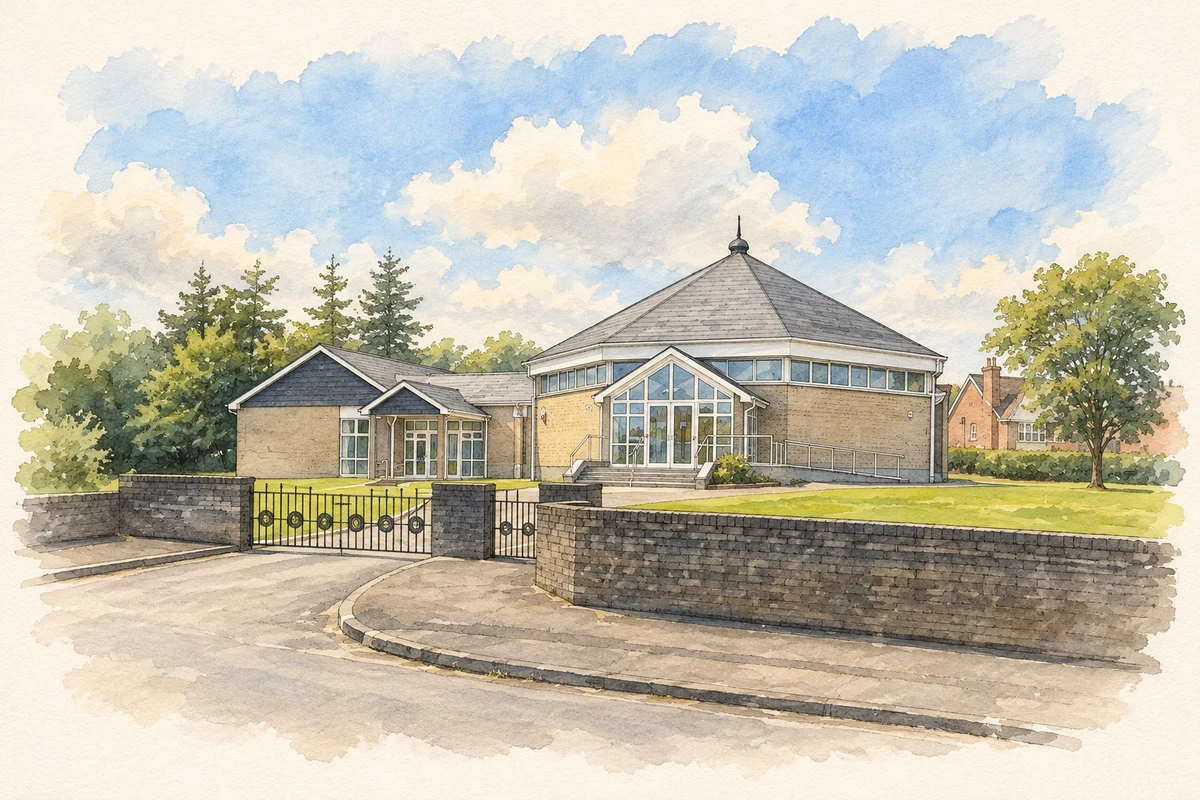
Cullybackey Methodist Church, County Antrim illustration: based on a Methodist Church by Robert Ashby. AI-assisted watercolour and ink adaptation; cream paper margins added, incidental clutter omitted and fine details simplified. Licence: CC BY-SA 2.0.
 placenames