 placenames
Eden
An tÉadan
Eden’s history forms part of the changing landscape east of Carrickfergus, with long educational and industrial associations.
The name
These Irish name elements are associated with this record in the Logainm glossary.
An element’s translation is a clue, rather than a complete explanation of the name. Its form and meaning depend on local history and the full Irish name.
Recorded forms
- An tÉadan · Irish · main form · validated name
- Eden · English · main form
Place & story
Two centuries of schooling
Eden Primary School traces local education to around 1806. An infant school built in 1836 under Church of Ireland patronage stood beside the former Tourist Inn. In the years after 1860 the school came under state control as Eden National School. A replacement building opened across the road on 6 December 1929 with four classrooms. An extension formally opened in 1957 provided accommodation for about 300 children, followed by further facilities in 2004. These successive buildings record continued local provision through several changes in educational administration. [2]
The salt field
Eden lay within one of the salt fields worked in southeast Antrim from the middle of the nineteenth century. The British Geological Survey explains that the salt beds belong to the Triassic Mercia Mudstone Group and formed through the evaporation of seawater trapped in restricted basins. The local industry used both underground excavation and the dissolution of salt into brine. The geology therefore helps explain an industrial activity whose major structures were largely below ground rather than visible in the village streets. [3]
Samuel Patrick Close and Fodeen
Architect Samuel Patrick Close designed his own house, Fodeen, on Eden Road in 1894. His connection with Carrickfergus had begun much earlier, while supervising construction of Sheils’s charitable housing for Lanyon, Lynn and Lanyon in the 1860s. He subsequently established a Belfast practice, undertaking work mainly in Antrim and Down, while retaining his home in Carrickfergus. The recorded Eden Road house provides a specific local association with the architect’s domestic life as well as his wider professional work. [4]
Geographic information
- Place type
- Population centre
- County
- Antrim
- Barony
- Carrickfergus
- Civil parish
- Carrickfergus
- Within
- North East Division
- Coordinates
- 54.72830, -5.76446 (approximate)
- Logainm ID
- 135768 ↗
Sources & further reading
- Logainm.ie — Eden. Place names and geographic record, licensed under CC BY 4.0.
- History of the School · Eden Primary School
- Bulk minerals, mineral resources, Northern Ireland · British Geological Survey / Geological Survey of Northern Ireland
- Samuel Patrick Close, architect and works list · Dictionary of Irish Architects, Irish Architectural Archive
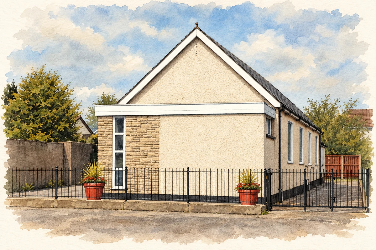
- Eden Gospel Hall, County Antrim illustration: based on a Eden gospel hall near Carrickfergus by Albert Bridge. AI-assisted watercolour and ink adaptation; cream paper margins added, incidental clutter omitted and fine details simplified. Licence: CC BY-SA 2.0.
Name record retrieved 2026-10-25 · Source record modified 2021-05-26. How this page was prepared.