 placenames
Green Island
Inis Glas
Usually written Greenisland, this Antrim town has a hilltop war memorial, a twentieth-century church and a geologically varied foreshore.
The name
These Irish name elements are associated with this record in the Logainm glossary.
An element’s translation is a clue, rather than a complete explanation of the name. Its form and meaning depend on local history and the full Irish name.
Recorded forms
- Inis Glas · Irish · main form · validated name
- Green Island · English · main form
Place & story
The memorial above the town
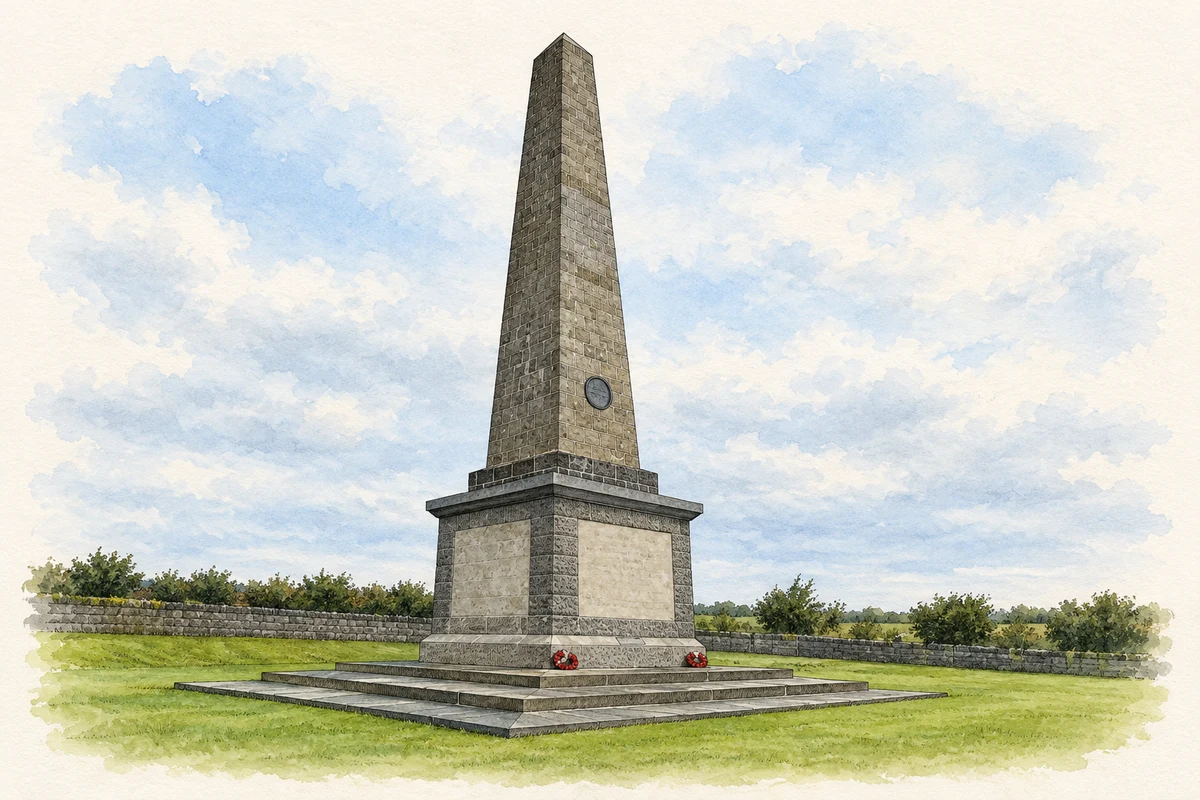
The Knockagh Monument stands on the hill above Greenisland, overlooking Belfast Lough. Its foundation stone was laid in 1922, but the basalt obelisk was not completed until 1936. Built to remember County Antrim's First World War dead, it later commemorated those lost in the Second World War too. The 34-metre monument draws on the design of Dublin's Wellington Monument at half its height. [2]
From timber hall to brick church
Growing numbers of residents led to the opening of Knockagh Hall for Presbyterian worship on Upper Road in 1912. Planning for a permanent church followed in 1935. Four foundation stones were laid in April 1940, and the church opened in September 1941. Designed by Gamble and Maxwell, its red brick, square tower and carved burning-bush panel give it a distinctive place along the road. [3]
Older stories on the foreshore
Greenisland's foreshore exposes a much older sequence of change. Red Triassic sandstone and mudstone can be seen along the lough, crossed by darker volcanic intrusions. At Raven Hill, the Greenisland Sill reveals broken rock associated with the intrusion. The Earth Science Conservation Review also records shell-bearing estuarine clay southwest of the offshore Green Island, making this shore valuable for interpreting the lough's geological history. [4]
Geographic information
- Place type
- Town
- County
- Antrim
- Barony
- Carrickfergus
- Civil parish
- Carrickfergus
- Within
- West Division
- Coordinates
- 54.69434, -5.87493 (approximate)
- Logainm ID
- 135789 ↗
Sources & further reading
- Logainm.ie — Green Island. Place names and geographic record, licensed under CC BY 4.0.
- Knockagh Monument · Mid and East Antrim Borough Council
- Greenisland Presbyterian Church, HB 22/03/002 · Department for Communities, Historic Environment Division
- Greenisland: Earth Science Conservation Review · National Museums Northern Ireland
- Knockagh Monument near Green Island illustration: based on a County Antrim War Memorial (Knockagh Monument) by Rossographer. AI-assisted watercolour and ink adaptation; cream paper margins added, incidental clutter omitted and fine details simplified. Licence: CC BY-SA 2.0.
Name record retrieved 2026-10-25 · Source record modified 2021-05-26. How this page was prepared.