These Irish name elements are associated with this record in the Logainm glossary.
An element’s translation is a clue, rather than a complete explanation of the name. Its form and meaning depend on local history and the full Irish name.
Recorded forms
Lios na gCearrbhach· Irish · main form · validated name
Lisburn· English · main form
Place & story
The Market House and its square
Lisburn Museum occupies the town’s seventeenth-century Market House, a building repeatedly altered as its functions changed. Merchants traded around the ground floor; upstairs, the Assembly Rooms hosted balls, dancing lessons and political meetings. John Wesley preached here in 1756. Market Place followed Sir Fulke Conway’s town plan of the 1620s and became a centre for the sale of unbleached linen. The square also witnessed political power and punishment: William of Orange stopped here in 1690, and gallows were erected after the 1798 rebellion.[2]
People & connections
Louis Crommelin and Huguenot skill
Louis Crommelin, a French Huguenot refugee experienced in linen manufacture, settled in Lisburn with other Huguenot weavers in 1698 after an invitation from William III. His work forms a central episode in the museum’s account of the industry. The Irish Linen Board followed in 1711 to promote and regulate production. Lisburn’s success depended on a chain of skills: farmers grew flax, spinners prepared yarn, weavers made cloth and merchants arranged bleaching and sale. Crommelin’s contribution belongs within that larger working community.[3]
Damask and the industrial landscape
Coulson’s manufactured fine damask in Lisburn from 1766, gaining royal patronage in 1811 and a gold medal at the Great Exhibition of 1851. Nearby Hilden developed into a vast thread-making complex under the Barbour family. The museum’s guide dates John Barbour’s firm to 1784 and describes its later international scale. These businesses extended Lisburn’s influence far beyond its market square. Their surviving sites and collections connect the domestic linen industry with factories, export markets and the changing conditions of industrial work.[2][3]
Both censuses use the same 2015 settlement boundary. These exact counts cover usual residents in the settlement, rather than local government districts or historic counties. Other NISRA tables may use approximate counts.
View population figures
LISBURN CITY — Settlement 2015 (N11000438) — census population
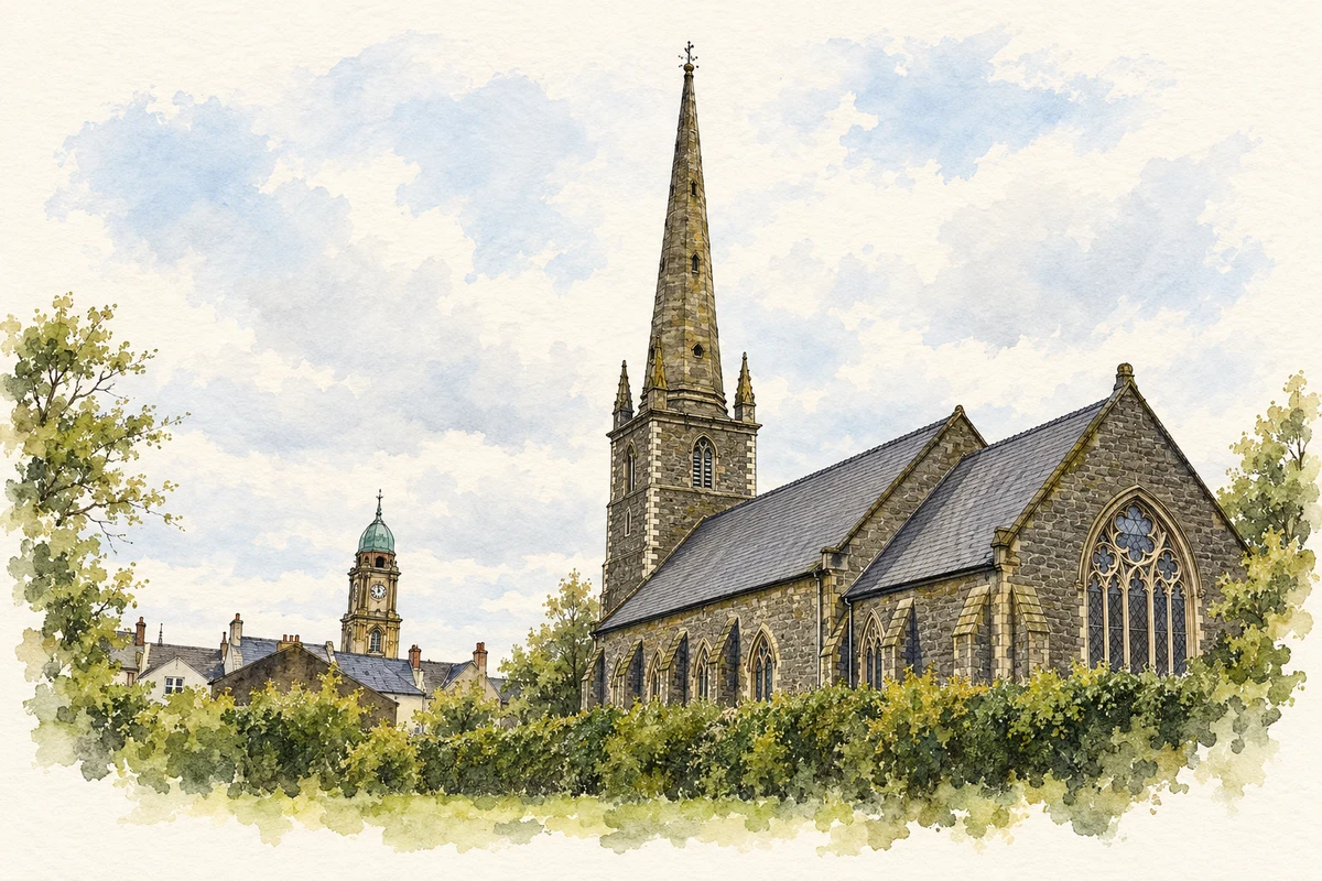
Lisburn Cathedral illustration: based on a reference by Brian Shaw. AI-assisted watercolour and fine ink adaptation; warm cream paper margins; incidental clutter removed and architectural details simplified. Licence: CC BY-SA 2.0.
 placenames